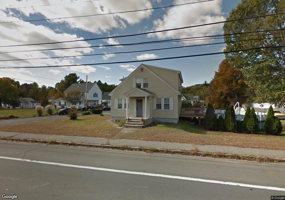
536 Merrimack St Methuen, MA 01844
The North End NeighborhoodEstimated Value: $566,000 - $638,000
4
Beds
2
Baths
1,765
Sq Ft
$338/Sq Ft
Est. Value
About This Home
This home is located at 536 Merrimack St, Methuen, MA 01844 and is currently estimated at $596,848, approximately $338 per square foot. 536 Merrimack St is a home located in Essex County with nearby schools including Methuen High School, Community Day Charter Public School - Gateway, and Silver Hill Elementary School.
Ownership History
Date
Name
Owned For
Owner Type
Purchase Details
Closed on
Sep 18, 2006
Sold by
Whipple Gertrude and Whipple James E
Bought by
Pelletier Berthier
Current Estimated Value
Home Financials for this Owner
Home Financials are based on the most recent Mortgage that was taken out on this home.
Original Mortgage
$126,000
Interest Rate
6.71%
Mortgage Type
Purchase Money Mortgage
Purchase Details
Closed on
Dec 6, 1996
Sold by
Brown Regina E
Bought by
Whipple James E
Create a Home Valuation Report for This Property
The Home Valuation Report is an in-depth analysis detailing your home's value as well as a comparison with similar homes in the area
Home Values in the Area
Average Home Value in this Area
Purchase History
| Date | Buyer | Sale Price | Title Company |
|---|---|---|---|
| Pelletier Berthier | $226,000 | -- | |
| Pelletier Berthier | $226,000 | -- | |
| Whipple James E | $89,000 | -- | |
| Whipple James E | $89,000 | -- |
Source: Public Records
Mortgage History
| Date | Status | Borrower | Loan Amount |
|---|---|---|---|
| Open | Whipple James E | $165,860 | |
| Closed | Pelletier Berthier | $126,000 |
Source: Public Records
Tax History Compared to Growth
Tax History
| Year | Tax Paid | Tax Assessment Tax Assessment Total Assessment is a certain percentage of the fair market value that is determined by local assessors to be the total taxable value of land and additions on the property. | Land | Improvement |
|---|---|---|---|---|
| 2025 | $4,667 | $441,100 | $183,500 | $257,600 |
| 2024 | $4,609 | $424,400 | $166,800 | $257,600 |
| 2023 | $4,285 | $366,200 | $146,000 | $220,200 |
| 2022 | $4,095 | $313,800 | $125,100 | $188,700 |
| 2021 | $3,880 | $294,200 | $118,200 | $176,000 |
| 2020 | $3,887 | $289,200 | $118,200 | $171,000 |
| 2019 | $3,760 | $265,000 | $111,200 | $153,800 |
| 2018 | $3,576 | $250,600 | $104,300 | $146,300 |
| 2017 | $3,340 | $228,000 | $97,300 | $130,700 |
| 2016 | $3,088 | $208,500 | $90,400 | $118,100 |
| 2015 | $2,729 | $186,900 | $75,100 | $111,800 |
Source: Public Records
Map
Nearby Homes
- 3 Webster Ave
- 46 Oneida St
- 15 Enfield Ave
- 4 Natasha Cir
- 17 Scotland Heights Rd
- 1376 River St Unit 1
- 7 Sequoia Dr Unit 7
- 17 Ferry Rd
- 95 Pilgrim Cir Unit 95
- 331 Merrimack St
- 23 Constitution Way Unit 23
- 23 Constitution Way
- 18 Maple Ridge Rd
- 3 Michael Anthony Rd
- 10 Albermarle St
- 66 Newbury Ave
- 46 Gaston St
- 70 Birch Ave
- 128 Pleasant Valley St
- 29 Pitman St
- 7 Whittier St
- 538 Merrimack St
- 4 Whittier St
- 534 Merrimack St
- 11 Whittier St
- 8 Whittier St
- 540 Merrimack St
- 5 Renfrew St
- 15 Whittier St
- 532 Merrimack St
- 9 Renfrew St
- 542 Merrimack St
- 3 Brookdale Ave
- 528 Merrimack St
- 5 Brookdale Ave
- 2 Renfrew St
- 524 Merrimack St
- 2 Brookdale Ave
- 20 Renfrew St
- 4 Brookdale Ave