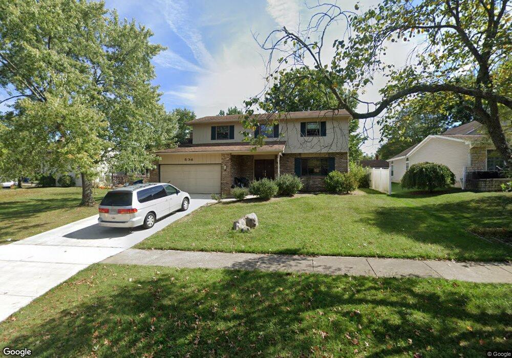
536 Michael Ave Westerville, OH 43081
Estimated Value: $374,000 - $459,000
4
Beds
3
Baths
1,962
Sq Ft
$217/Sq Ft
Est. Value
About This Home
This home is located at 536 Michael Ave, Westerville, OH 43081 and is currently estimated at $424,794, approximately $216 per square foot. 536 Michael Ave is a home located in Franklin County with nearby schools including Robert Frost Elementary School, Heritage Middle School, and Westerville-North High School.
Ownership History
Date
Name
Owned For
Owner Type
Purchase Details
Closed on
Mar 5, 2003
Sold by
Beekman Michael D
Bought by
Ranck Stephen P
Current Estimated Value
Home Financials for this Owner
Home Financials are based on the most recent Mortgage that was taken out on this home.
Original Mortgage
$140,400
Outstanding Balance
$60,886
Interest Rate
6%
Mortgage Type
Purchase Money Mortgage
Estimated Equity
$363,908
Purchase Details
Closed on
Jun 3, 1986
Bought by
Beekman Michael D
Purchase Details
Closed on
Dec 1, 1979
Create a Home Valuation Report for This Property
The Home Valuation Report is an in-depth analysis detailing your home's value as well as a comparison with similar homes in the area
Home Values in the Area
Average Home Value in this Area
Purchase History
| Date | Buyer | Sale Price | Title Company |
|---|---|---|---|
| Ranck Stephen P | $156,000 | -- | |
| Beekman Michael D | $86,500 | -- | |
| -- | $74,500 | -- |
Source: Public Records
Mortgage History
| Date | Status | Borrower | Loan Amount |
|---|---|---|---|
| Open | Ranck Stephen P | $140,400 |
Source: Public Records
Tax History Compared to Growth
Tax History
| Year | Tax Paid | Tax Assessment Tax Assessment Total Assessment is a certain percentage of the fair market value that is determined by local assessors to be the total taxable value of land and additions on the property. | Land | Improvement |
|---|---|---|---|---|
| 2024 | $7,513 | $129,120 | $29,750 | $99,370 |
| 2023 | $7,357 | $129,115 | $29,750 | $99,365 |
| 2022 | $6,739 | $90,310 | $18,100 | $72,210 |
| 2021 | $6,796 | $90,310 | $18,100 | $72,210 |
| 2020 | $6,776 | $90,310 | $18,100 | $72,210 |
| 2019 | $5,688 | $71,410 | $18,100 | $53,310 |
| 2018 | $5,371 | $71,410 | $18,100 | $53,310 |
| 2017 | $5,461 | $71,410 | $18,100 | $53,310 |
| 2016 | $5,323 | $61,780 | $18,660 | $43,120 |
| 2015 | $5,160 | $61,780 | $18,660 | $43,120 |
| 2014 | $5,164 | $61,780 | $18,660 | $43,120 |
| 2013 | $2,387 | $58,835 | $17,780 | $41,055 |
Source: Public Records
Map
Nearby Homes
- 547 County Line Rd
- 200 Matthew Ave
- 150 Matthew Ave
- 718 Sugar Ct
- 589 E College Ave
- 368 E College Ave
- 364 E College Ave
- 768 Collingwood Dr
- 267 Windemere Place
- 912 Lakeway Ct E
- 417 E Park St
- 192 Buckeye Ct
- 182 Hillcrest Dr
- 348 Buck Run Trail
- 974 Lakeland Dr
- 199 E College Ave
- 223 Dogwood Ln
- 656 Olde Mill Dr
- 137 Abbeycross Ln
- 754 Kingsmead Rd Unit 18754
- 567 Michael Ave
- 528 Michael Ave
- 303 Matthew Ave
- 583 Michael Ave
- 520 Michael Ave
- 295 Matthew Ave
- 539 Michael Ave
- 531 Michael Ave
- 547 Michael Ave
- 287 Matthew Ave
- 523 Michael Ave
- 570 Michael Ave
- 514 Michael Ave
- 564 Michael Ave
- 578 Michael Ave
- 556 Michael Ave
- 279 Matthew Ave
- 513 Michael Ave
- 586 Michael Ave
- 304 Matthew Ave