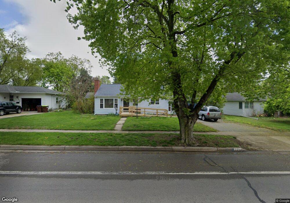
536 N Mckenzie St Adrian, MI 49221
Estimated Value: $149,000 - $186,000
3
Beds
2
Baths
1,140
Sq Ft
$150/Sq Ft
Est. Value
About This Home
This home is located at 536 N Mckenzie St, Adrian, MI 49221 and is currently estimated at $170,539, approximately $149 per square foot. 536 N Mckenzie St is a home located in Lenawee County with nearby schools including Adrian High School, Berean Baptist Academy, and Trenton Hills Learning Center.
Ownership History
Date
Name
Owned For
Owner Type
Purchase Details
Closed on
Dec 18, 2020
Sold by
Clark Michael D
Bought by
Clark Michael D and Dilyard Candace L
Current Estimated Value
Home Financials for this Owner
Home Financials are based on the most recent Mortgage that was taken out on this home.
Original Mortgage
$44,000
Outstanding Balance
$39,173
Interest Rate
2.7%
Mortgage Type
New Conventional
Estimated Equity
$131,366
Purchase Details
Closed on
Dec 27, 2019
Sold by
Clatk Shaton A
Bought by
Clark Michael D
Purchase Details
Closed on
Aug 21, 2017
Sold by
Miller Dianne
Bought by
Clark Gene E and Clark Sharon A
Create a Home Valuation Report for This Property
The Home Valuation Report is an in-depth analysis detailing your home's value as well as a comparison with similar homes in the area
Home Values in the Area
Average Home Value in this Area
Purchase History
| Date | Buyer | Sale Price | Title Company |
|---|---|---|---|
| Clark Michael D | -- | None Available | |
| Clark Michael D | -- | None Available | |
| Clark Gene E | $95,000 | Prestige Title |
Source: Public Records
Mortgage History
| Date | Status | Borrower | Loan Amount |
|---|---|---|---|
| Open | Clark Michael D | $44,000 |
Source: Public Records
Tax History Compared to Growth
Tax History
| Year | Tax Paid | Tax Assessment Tax Assessment Total Assessment is a certain percentage of the fair market value that is determined by local assessors to be the total taxable value of land and additions on the property. | Land | Improvement |
|---|---|---|---|---|
| 2025 | $3,150 | $64,600 | $0 | $0 |
| 2024 | $2,042 | $65,100 | $0 | $0 |
| 2023 | $2,320 | $58,700 | $0 | $0 |
| 2022 | $2,622 | $52,700 | $0 | $0 |
| 2021 | $3,072 | $49,100 | $0 | $0 |
| 2020 | $2,256 | $44,800 | $0 | $0 |
| 2019 | $1,576 | $43,800 | $0 | $0 |
| 2018 | $2,055 | $52,773 | $0 | $0 |
| 2017 | $2,373 | $44,981 | $0 | $0 |
| 2016 | $1,661 | $42,491 | $0 | $0 |
| 2014 | -- | $37,700 | $0 | $0 |
Source: Public Records
Map
Nearby Homes
- 443 Stockford Dr
- 682 Budlong St
- 670 Stockford Dr
- 333 Greenly St
- 306 Summer St
- 146 Budlong St
- 227 Greenly St
- 770 Lakeshire Trail Unit 201 West
- 914 W Maumee St
- 1058 W Maumee St
- 1144 W Maumee St
- 143 Park St
- 1269 Scott Ridge Dr
- 705 College Ave
- 1001 Saw Mill Ct
- 1003 Saw Mill Ct
- 1005 Saw Mill Ct
- 1007 Saw Mill Ct
- 228 W Church St
- 1012 Saw Mill Ct
- 552 N Mckenzie St
- 536 N Mckenzie St
- 537 N Mckenzie St
- 520 N Mckenzie St
- 556 N Mckenzie St
- 547 N Mckenzie St
- 557 N Mckenzie St
- 553 N Mckenzie St
- 535 Harkness Dr
- 551 Harkness Dr
- 504 N Mckenzie St
- 519 Harkness Dr
- 539 Mckenzie St N
- 555 Harkness Dr
- 560 N Mckenzie St
- 531 N Mckenzie St
- 780 Harkness Dr
- 0 Mckenzie St N
- 559 Harkness Dr
- 561 N Mckenzie St