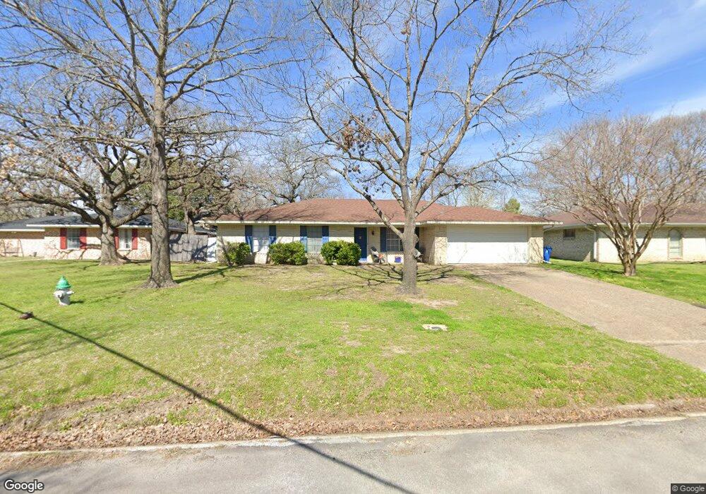
536 Oakridge Dr Corsicana, TX 75110
Estimated Value: $212,672 - $246,000
3
Beds
2
Baths
1,768
Sq Ft
$134/Sq Ft
Est. Value
About This Home
This home is located at 536 Oakridge Dr, Corsicana, TX 75110 and is currently estimated at $237,418, approximately $134 per square foot. 536 Oakridge Dr is a home located in Navarro County with nearby schools including Corsicana High School and William Tyndale Christian Academy.
Ownership History
Date
Name
Owned For
Owner Type
Purchase Details
Closed on
Mar 31, 2015
Sold by
Stanley Scottm and Stanley Jeanette
Bought by
Pnsinterestsllc
Current Estimated Value
Purchase Details
Closed on
Aug 19, 2005
Sold by
Subrai Chhabra Madam and Subrai Chhabra
Bought by
Stanley Scott M
Home Financials for this Owner
Home Financials are based on the most recent Mortgage that was taken out on this home.
Original Mortgage
$19,800
Interest Rate
5.81%
Mortgage Type
Stand Alone Second
Create a Home Valuation Report for This Property
The Home Valuation Report is an in-depth analysis detailing your home's value as well as a comparison with similar homes in the area
Home Values in the Area
Average Home Value in this Area
Purchase History
| Date | Buyer | Sale Price | Title Company |
|---|---|---|---|
| Pnsinterestsllc | -- | None Available | |
| Stanley Scott M | -- | None Available |
Source: Public Records
Mortgage History
| Date | Status | Borrower | Loan Amount |
|---|---|---|---|
| Previous Owner | Stanley Scott M | $19,800 | |
| Previous Owner | Stanley Scott M | $79,200 |
Source: Public Records
Tax History Compared to Growth
Tax History
| Year | Tax Paid | Tax Assessment Tax Assessment Total Assessment is a certain percentage of the fair market value that is determined by local assessors to be the total taxable value of land and additions on the property. | Land | Improvement |
|---|---|---|---|---|
| 2025 | $3,446 | $182,000 | $42,190 | $139,810 |
| 2024 | $3,395 | $179,310 | $28,130 | $151,180 |
| 2023 | $3,313 | $179,500 | $28,130 | $151,370 |
| 2022 | $3,240 | $139,930 | $11,720 | $128,210 |
| 2021 | $3,164 | $121,720 | $11,720 | $110,000 |
| 2020 | $3,201 | $120,640 | $11,720 | $108,920 |
| 2019 | $3,619 | $131,770 | $11,720 | $120,050 |
| 2018 | $3,555 | $129,430 | $9,380 | $120,050 |
| 2017 | $3,195 | $116,470 | $9,380 | $107,090 |
| 2016 | $3,021 | $110,130 | $9,380 | $100,750 |
| 2015 | -- | $105,050 | $9,380 | $95,670 |
| 2014 | -- | $103,550 | $9,380 | $94,170 |
Source: Public Records
Map
Nearby Homes
- 542 Forrest Ln
- 2604 Forest Lane Cir
- 2631 Fish Tank Rd
- 421 Forrest Ln
- 524 Lakewood Ave
- 2809 Lafayette St
- 2629 Fish Tank Rd
- 3100 Louis Ave
- 408 Fairmont Ave
- 405 Fairmont Ave
- 400 Fairmont Ave
- 1000 Bryn Mawr St
- 2812 Winfield Dr
- 1004 Bryn Mawr St
- 2110 Dartmouth Ln
- 1305 Tammy Ave
- 800 Imperial Ln
- 3128 Emhouse Rd
- 2420 N Beaton St
- 2903 N Beaton St
- 532 Oakridge Dr
- 2901 Fish Tank Rd
- 537 Edgewood Ave
- 545 Edgewood Ave
- 528 Oakridge Dr
- 533 Edgewood Ave
- 0000 Oakridge
- 2920 Fish Tank Rd
- 524 Oakridge Dr
- 547 Edgewood Ave
- 529 Edgewood Ave
- 2816 Fish Tank Rd
- 2812 Fish Tank Rd
- 533 Oakridge Dr
- 529 Oakridge Dr
- 527 Edgewood Ave
- 549 Edgewood Ave
- 520 Oakridge Dr
- 536 Edgewood Ave
- 540 Edgewood Ave