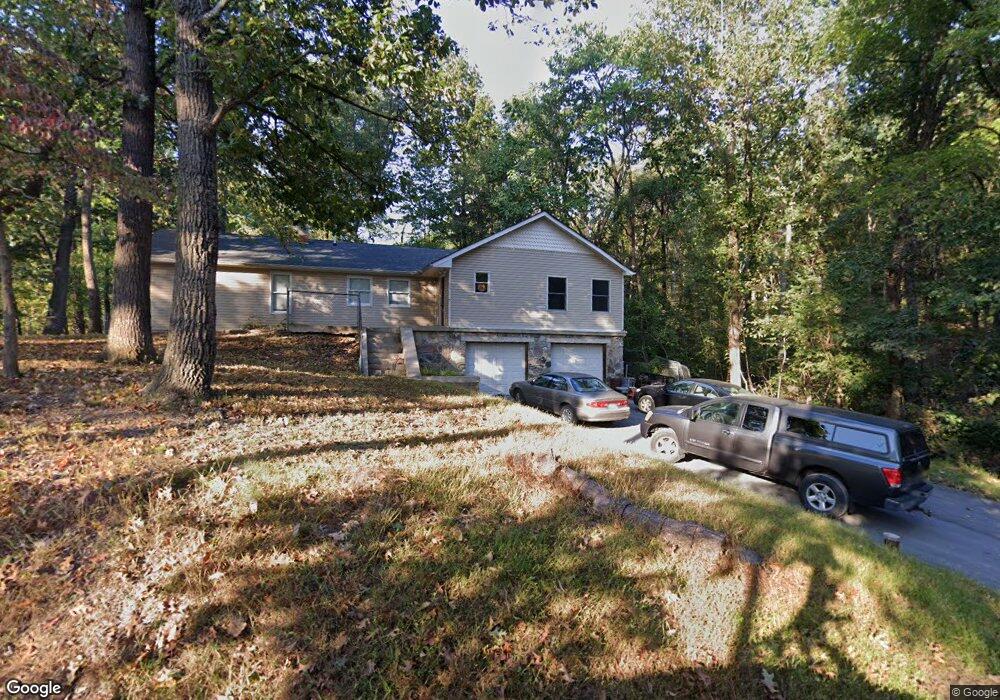
536 Persimmon Pear Ln Harpers Ferry, WV 25425
Estimated Value: $374,000 - $415,000
2
Beds
1
Bath
1,804
Sq Ft
$215/Sq Ft
Est. Value
About This Home
This home is located at 536 Persimmon Pear Ln, Harpers Ferry, WV 25425 and is currently estimated at $388,259, approximately $215 per square foot. 536 Persimmon Pear Ln is a home located in Jefferson County with nearby schools including Blue Ridge Elementary School, Harpers Ferry Middle School, and Washington High School.
Ownership History
Date
Name
Owned For
Owner Type
Purchase Details
Closed on
Dec 5, 2020
Sold by
Borkholder Robert S and Borkholder Valerie A
Bought by
Borkholder Robert S and Borkholder Valerie A
Current Estimated Value
Home Financials for this Owner
Home Financials are based on the most recent Mortgage that was taken out on this home.
Original Mortgage
$184,000
Outstanding Balance
$164,568
Interest Rate
2.96%
Mortgage Type
New Conventional
Estimated Equity
$223,691
Purchase Details
Closed on
Sep 15, 2008
Sold by
Borkholder Robert S
Bought by
Borkholder Robert S and White Valerie A
Home Financials for this Owner
Home Financials are based on the most recent Mortgage that was taken out on this home.
Original Mortgage
$200,000
Interest Rate
6.57%
Mortgage Type
New Conventional
Create a Home Valuation Report for This Property
The Home Valuation Report is an in-depth analysis detailing your home's value as well as a comparison with similar homes in the area
Home Values in the Area
Average Home Value in this Area
Purchase History
| Date | Buyer | Sale Price | Title Company |
|---|---|---|---|
| Borkholder Robert S | -- | First American Mortgage Sln | |
| Borkholder Robert S | $62,450 | None Available |
Source: Public Records
Mortgage History
| Date | Status | Borrower | Loan Amount |
|---|---|---|---|
| Open | Borkholder Robert S | $184,000 | |
| Previous Owner | Borkholder Robert S | $200,000 |
Source: Public Records
Tax History Compared to Growth
Tax History
| Year | Tax Paid | Tax Assessment Tax Assessment Total Assessment is a certain percentage of the fair market value that is determined by local assessors to be the total taxable value of land and additions on the property. | Land | Improvement |
|---|---|---|---|---|
| 2024 | $1,915 | $163,600 | $63,200 | $100,400 |
| 2023 | $1,911 | $163,600 | $63,200 | $100,400 |
| 2022 | $1,655 | $138,900 | $51,100 | $87,800 |
| 2021 | $1,577 | $129,800 | $51,100 | $78,700 |
| 2020 | $1,489 | $130,800 | $51,100 | $79,700 |
| 2019 | $139 | $115,900 | $37,700 | $78,200 |
| 2018 | $1,342 | $114,200 | $37,700 | $76,500 |
| 2017 | $1,297 | $110,400 | $32,800 | $77,600 |
| 2016 | $1,208 | $103,100 | $25,500 | $77,600 |
| 2015 | $1,168 | $99,200 | $25,500 | $73,700 |
| 2014 | $1,036 | $88,100 | $25,500 | $62,600 |
Source: Public Records
Map
Nearby Homes
- 105 Chestnut Ln
- 87 Blue Ridge Loop
- 33 River View Dr
- 3607 Chestnut Hill Rd
- 291 River View Dr
- Lot 54 (Sec 9 #22) Wagon Trail Rd
- Lot 55 (Sec 9 #23) Wagon Trail Rd
- Lot 107 Smokey Bear Trail
- 185 Skyhawk Trail
- 0 Skyhawk Trail
- 0 Muskrat Run
- Lots 76 & 77 Pink Bud Trail
- 0 Estes Way
- 0 Bear Run
- 23 Heavenwood Ln
- 0 Camp Hill Ln
- 57 Rowles St
- 155 White Fox Trail
- 168 New Harmony Ln
- 86 Primrose Ln
- 0 Chestnut Ln
- 33 Chestnut Ln
- 22 Chestnut Ln
- 70 Chestnut Place
- 214 Po Box
- 66 Rock Ln
- 51 Rock Ln
- 477 Persimmon Pear Ln
- 11 Lipka Way
- 53 Chestnut Ln
- 364 Maple Ridge Ln
- 448 Persimmon Pear Ln
- 95 Rock Ln
- 84 Rock Ln
- 349 Maple Ridge Ln
- 21 Chestnut Place
- 118 Rock Ln
- 177 Rock Ln
- Lot 38 Maple Ridge Ln
- 88 Rock Ln