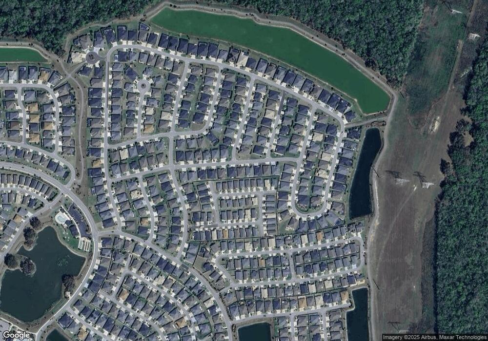
536 Randall Rd The Villages, FL 32163
Estimated Value: $450,958 - $482,000
--
Bed
--
Bath
1,918
Sq Ft
$241/Sq Ft
Est. Value
About This Home
This home is located at 536 Randall Rd, The Villages, FL 32163 and is currently estimated at $462,740, approximately $241 per square foot. 536 Randall Rd is a home with nearby schools including Wildwood Elementary School and Wildwood Middle/High School.
Ownership History
Date
Name
Owned For
Owner Type
Purchase Details
Closed on
Mar 5, 2024
Sold by
Donohue Thomas P and Donohue Lisa J
Bought by
Donohue Family Trust and Donohue
Current Estimated Value
Purchase Details
Closed on
Jun 3, 2021
Sold by
The Villages Land Company Llc
Bought by
Donohue Thomas P and Donohue Lisa J
Home Financials for this Owner
Home Financials are based on the most recent Mortgage that was taken out on this home.
Original Mortgage
$257,636
Interest Rate
2.9%
Mortgage Type
New Conventional
Create a Home Valuation Report for This Property
The Home Valuation Report is an in-depth analysis detailing your home's value as well as a comparison with similar homes in the area
Home Values in the Area
Average Home Value in this Area
Purchase History
| Date | Buyer | Sale Price | Title Company |
|---|---|---|---|
| Donohue Family Trust | $100 | None Listed On Document | |
| Donohue Family Trust | $100 | None Listed On Document | |
| Donohue Thomas P | $357,636 | First American Title Company |
Source: Public Records
Mortgage History
| Date | Status | Borrower | Loan Amount |
|---|---|---|---|
| Previous Owner | Donohue Thomas P | $257,636 |
Source: Public Records
Tax History Compared to Growth
Tax History
| Year | Tax Paid | Tax Assessment Tax Assessment Total Assessment is a certain percentage of the fair market value that is determined by local assessors to be the total taxable value of land and additions on the property. | Land | Improvement |
|---|---|---|---|---|
| 2024 | $4,843 | $224,340 | -- | -- |
| 2023 | $4,843 | $217,810 | $0 | $0 |
| 2022 | $4,780 | $211,470 | $0 | $0 |
| 2021 | $2,664 | $21,600 | $21,600 | $0 |
Source: Public Records
Map
Nearby Homes
- 555 Randall Rd
- 747 Louise Ln
- 578 Kaolin Path
- 5719 Barraw Terrace
- 770 Marilee Place St Unit 36437848
- 770 Marilee Place St Unit 36440940
- 770 Marilee Place St Unit 36433162
- 6126 Mulligan Run
- 904 Maynard Path
- 862 Bowden Rd
- 335 Logan St
- 6222 Dingman Way
- 6223 Atkinson Ln
- 6230 Dingman Way
- 6295 Danielson Loop
- 987 Frederick Terrace
- 448 Sherell St
- 6291 Whittle Ct
- 1125 Maynard Path
- 289 Zingale Ln
- 530 Randall Rd
- 542 Randall Rd
- 537 Redding Ct
- 533 Redding Ct
- 541 Redding Ct
- 522 Randall Rd
- 527 Redding Ct
- 545 Redding Ct
- 550 Randall Rd
- 5695 Hogan Ct
- 552 Redding Ct
- 551 Redding Ct
- 523 Redding Ct
- 516 Randall Rd
- 549 Randall Rd
- 5704 Teresa Terrace
- 555 Redding Ct
- 517 Redding Ct
- 558 Randall Rd
- 532 Redding Ct
