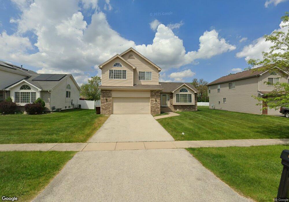
536 Regent Rd University Park, IL 60484
Estimated Value: $287,481 - $336,000
4
Beds
3
Baths
2,027
Sq Ft
$150/Sq Ft
Est. Value
About This Home
This home is located at 536 Regent Rd, University Park, IL 60484 and is currently estimated at $303,620, approximately $149 per square foot. 536 Regent Rd is a home located in Will County with nearby schools including Balmoral Elementary School, Crete-Monee Middle School, and Crete-Monee High School.
Ownership History
Date
Name
Owned For
Owner Type
Purchase Details
Closed on
May 20, 2009
Sold by
Federal Home Loan Mortgage Corporation
Bought by
Phillips Marylyn
Current Estimated Value
Home Financials for this Owner
Home Financials are based on the most recent Mortgage that was taken out on this home.
Original Mortgage
$141,391
Interest Rate
5.32%
Mortgage Type
FHA
Purchase Details
Closed on
Aug 27, 2008
Sold by
Nesbitt Marvin and Carr Lanetta
Bought by
Federal Home Loan Mortgage Corporation
Purchase Details
Closed on
Aug 29, 2006
Sold by
Chicago Title Land Trust Co
Bought by
Nesbitt Marvin and Carr Lanetta
Home Financials for this Owner
Home Financials are based on the most recent Mortgage that was taken out on this home.
Original Mortgage
$231,100
Interest Rate
6.7%
Mortgage Type
Purchase Money Mortgage
Create a Home Valuation Report for This Property
The Home Valuation Report is an in-depth analysis detailing your home's value as well as a comparison with similar homes in the area
Home Values in the Area
Average Home Value in this Area
Purchase History
| Date | Buyer | Sale Price | Title Company |
|---|---|---|---|
| Phillips Marylyn | $144,000 | Atg | |
| Federal Home Loan Mortgage Corporation | -- | None Available | |
| Nesbitt Marvin | $231,500 | None Available |
Source: Public Records
Mortgage History
| Date | Status | Borrower | Loan Amount |
|---|---|---|---|
| Previous Owner | Phillips Marylyn | $141,391 | |
| Previous Owner | Nesbitt Marvin | $231,100 |
Source: Public Records
Tax History Compared to Growth
Tax History
| Year | Tax Paid | Tax Assessment Tax Assessment Total Assessment is a certain percentage of the fair market value that is determined by local assessors to be the total taxable value of land and additions on the property. | Land | Improvement |
|---|---|---|---|---|
| 2024 | $10,166 | $80,991 | $14,480 | $66,511 |
| 2023 | $10,166 | $69,820 | $12,483 | $57,337 |
| 2022 | $8,656 | $61,418 | $10,981 | $50,437 |
| 2021 | $8,251 | $55,950 | $10,086 | $45,864 |
| 2020 | $8,019 | $53,054 | $9,759 | $43,295 |
| 2019 | $8,159 | $50,312 | $9,255 | $41,057 |
| 2018 | $8,280 | $50,038 | $9,069 | $40,969 |
| 2017 | $8,569 | $50,654 | $8,823 | $41,831 |
| 2016 | $8,481 | $50,049 | $8,500 | $41,549 |
| 2015 | $7,589 | $47,595 | $8,086 | $39,509 |
| 2014 | $7,589 | $46,938 | $7,974 | $38,964 |
| 2013 | $7,589 | $49,150 | $8,350 | $40,800 |
Source: Public Records
Map
Nearby Homes
- 543 Regent Rd
- 903 Blackhawk Dr
- 537 Nathan Rd
- 815 Blackhawk Dr
- 607 Sullivan Ln
- 1039 Abbot Ln
- 807 Blackhawk Dr
- 1029 Samson Dr
- 1032 Samson Dr
- 608 Sullivan Ln
- 735 Union Dr
- 740 Mission St
- 610 Sandra Dr
- 655 Sullivan Ln
- 1039 Barrow Ct
- 1031 Blackhawk Dr
- 523 Circle Dr
- 1109 Abbot Ln
- 662 Sullivan Ln
- 724 Union Dr