536 S Fork Rd Robbinsville, NC 28771
Estimated Value: $237,000 - $814,000
2
Beds
2
Baths
832
Sq Ft
$492/Sq Ft
Est. Value
About This Home
This home is located at 536 S Fork Rd, Robbinsville, NC 28771 and is currently estimated at $409,639, approximately $492 per square foot. 536 S Fork Rd is a home with nearby schools including Robbinsville High School, Robbinsville Elementary School, and Robbinsville Middle School.
Create a Home Valuation Report for This Property
The Home Valuation Report is an in-depth analysis detailing your home's value as well as a comparison with similar homes in the area
Tax History
| Year | Tax Paid | Tax Assessment Tax Assessment Total Assessment is a certain percentage of the fair market value that is determined by local assessors to be the total taxable value of land and additions on the property. | Land | Improvement |
|---|---|---|---|---|
| 2025 | $1,031 | $174,770 | $19,240 | $155,530 |
| 2024 | $1,031 | $174,770 | $19,240 | $155,530 |
| 2023 | $1,031 | $174,770 | $19,240 | $155,530 |
| 2022 | $1,094 | $168,380 | $20,000 | $148,380 |
| 2021 | $1,094 | $168,380 | $20,000 | $148,380 |
| 2020 | $1,094 | $168,380 | $20,000 | $148,380 |
| 2019 | $1,094 | $168,380 | $20,000 | $148,380 |
| 2018 | $997 | $170,430 | $20,000 | $150,430 |
| 2017 | $997 | $170,430 | $0 | $0 |
| 2016 | $997 | $170,430 | $0 | $0 |
| 2015 | $99,702 | $170,430 | $0 | $0 |
| 2013 | -- | $171,940 | $0 | $0 |
Source: Public Records
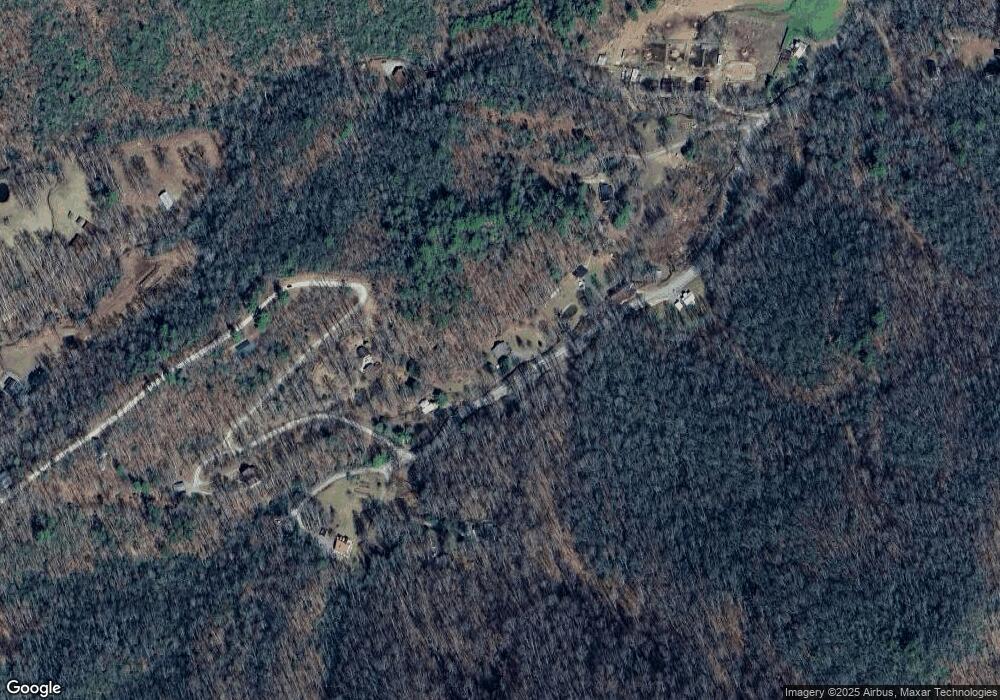
Map
Nearby Homes
- 1221 Sam Cove
- 1957 Upper Tuskeegee Rd
- 9999 Cindy Cove Rd
- 0 Upper Sawyer Creek Unit 26045253
- 9999 Cindy Cove Trail
- 604 Upper Sawyers Creek Rd
- 330 The Rd Unit 20
- 218 Tuskeegee Acres
- 413 Tuskeegee Acres
- Lot 27b Overlook Dr Unit LotWP027B
- Lot 7 Madison Ln
- Lot 8 Madison Ln
- Lot 7 Unit Madison Lane
- 580 Overlook Dr
- 27B Overlook Dr
- 999 Hillside Terrace
- 999 Hillside Terrace Unit G3
- 256 Eagles Nest Cir
- Lot G7 Foxfire Estates
- Lot G8 Foxfire Estates
Your Personal Tour Guide
Ask me questions while you tour the home.