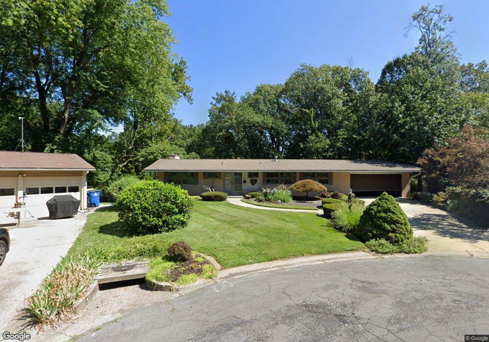
536 Sunset Dr Edwardsville, IL 62025
Estimated Value: $293,000 - $436,000
5
Beds
2
Baths
2,412
Sq Ft
$153/Sq Ft
Est. Value
About This Home
This home is located at 536 Sunset Dr, Edwardsville, IL 62025 and is currently estimated at $369,945, approximately $153 per square foot. 536 Sunset Dr is a home located in Madison County with nearby schools including N.O. Nelson Elementary School, Woodland Elementary School, and Lincoln Middle School.
Ownership History
Date
Name
Owned For
Owner Type
Purchase Details
Closed on
May 5, 2006
Sold by
Mudge William A
Bought by
Bond Julie A
Current Estimated Value
Home Financials for this Owner
Home Financials are based on the most recent Mortgage that was taken out on this home.
Original Mortgage
$187,200
Outstanding Balance
$108,232
Interest Rate
6.37%
Mortgage Type
Purchase Money Mortgage
Estimated Equity
$261,713
Create a Home Valuation Report for This Property
The Home Valuation Report is an in-depth analysis detailing your home's value as well as a comparison with similar homes in the area
Home Values in the Area
Average Home Value in this Area
Purchase History
| Date | Buyer | Sale Price | Title Company |
|---|---|---|---|
| Bond Julie A | -- | Abstracts & Titles Inc |
Source: Public Records
Mortgage History
| Date | Status | Borrower | Loan Amount |
|---|---|---|---|
| Open | Bond Julie A | $187,200 |
Source: Public Records
Tax History Compared to Growth
Tax History
| Year | Tax Paid | Tax Assessment Tax Assessment Total Assessment is a certain percentage of the fair market value that is determined by local assessors to be the total taxable value of land and additions on the property. | Land | Improvement |
|---|---|---|---|---|
| 2024 | $8,164 | $120,360 | $15,570 | $104,790 |
| 2023 | $8,164 | $111,690 | $14,450 | $97,240 |
| 2022 | $7,655 | $103,250 | $13,360 | $89,890 |
| 2021 | $6,840 | $98,000 | $12,680 | $85,320 |
| 2020 | $6,618 | $94,970 | $12,290 | $82,680 |
| 2019 | $6,570 | $93,380 | $12,080 | $81,300 |
| 2018 | $6,456 | $89,180 | $11,540 | $77,640 |
| 2017 | $6,280 | $87,300 | $11,300 | $76,000 |
| 2016 | $5,676 | $87,300 | $11,300 | $76,000 |
| 2015 | $5,428 | $80,920 | $10,470 | $70,450 |
| 2014 | $5,428 | $80,920 | $10,470 | $70,450 |
| 2013 | $5,428 | $80,920 | $10,470 | $70,450 |
Source: Public Records
Map
Nearby Homes
- 1101 N Oxfordshire Ln
- 417 Quince St
- 6 Greystone Ln
- 405 Shady Ln
- 441 Buena Vista St
- 422 Legion Dr
- 100 Bristol Park Ln
- 313 W Linden St
- 408 Cherry St
- 22 Southbridge Ln
- 28 Southbridge Ln
- 401 S Buchanan St
- 821 Sherman Ave
- 232 S Main St
- 714 Sherman Ave
- 215 S Benton St
- 424 Hadley Ave
- 221 4th Ave
- 0 Olive St Unit MAR24057151
- 426 Roanoke Dr
- 539 Sunset Dr
- 532 Sunset Dr
- 535 Sunset Dr
- 548 Buena Vista St
- 528 Sunset Dr
- 531 Sunset Dr
- 526 Oak Hill Dr
- 530 Oak Hill Dr
- 522 Oak Hill Dr
- 524 Sunset Dr
- 552 Buena Vista St
- 534 Oak Hill Dr
- 544 Buena Vista St
- 527 Sunset Dr
- 520 Sunset Dr
- 519 Oak Hill Dr
- 530 Buena Vista St
- 518 Oak Hill Dr
- 529 Oak Hill Dr
- 538 Oak Hill Dr