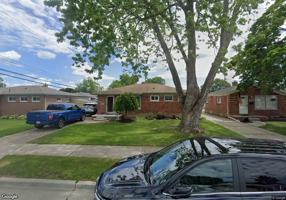
536 W Rose Ave Garden City, MI 48135
Estimated Value: $164,661 - $217,000
--
Bed
1
Bath
981
Sq Ft
$197/Sq Ft
Est. Value
About This Home
This home is located at 536 W Rose Ave, Garden City, MI 48135 and is currently estimated at $193,165, approximately $196 per square foot. 536 W Rose Ave is a home located in Wayne County with nearby schools including Memorial Elementary 1-2 Campus, Douglas Elementary 3-4 Campus, and Farmington 5-6 Campus.
Ownership History
Date
Name
Owned For
Owner Type
Purchase Details
Closed on
Aug 21, 2003
Sold by
Koharchik Mark Joseph and Koharchik Laurie
Bought by
Lewallen Mark Joseph
Current Estimated Value
Home Financials for this Owner
Home Financials are based on the most recent Mortgage that was taken out on this home.
Original Mortgage
$85,000
Outstanding Balance
$39,654
Interest Rate
6.44%
Mortgage Type
Purchase Money Mortgage
Estimated Equity
$153,511
Create a Home Valuation Report for This Property
The Home Valuation Report is an in-depth analysis detailing your home's value as well as a comparison with similar homes in the area
Home Values in the Area
Average Home Value in this Area
Purchase History
| Date | Buyer | Sale Price | Title Company |
|---|---|---|---|
| Lewallen Mark Joseph | -- | Title Michigan Agency Ltd |
Source: Public Records
Mortgage History
| Date | Status | Borrower | Loan Amount |
|---|---|---|---|
| Open | Lewallen Mark Joseph | $85,000 |
Source: Public Records
Tax History Compared to Growth
Tax History
| Year | Tax Paid | Tax Assessment Tax Assessment Total Assessment is a certain percentage of the fair market value that is determined by local assessors to be the total taxable value of land and additions on the property. | Land | Improvement |
|---|---|---|---|---|
| 2025 | $2,120 | $87,900 | $0 | $0 |
| 2024 | $2,120 | $78,100 | $0 | $0 |
| 2023 | $2,001 | $67,500 | $0 | $0 |
| 2022 | $2,246 | $62,100 | $0 | $0 |
| 2021 | $2,198 | $59,900 | $0 | $0 |
| 2020 | $2,208 | $55,900 | $0 | $0 |
| 2019 | $1,816 | $48,500 | $0 | $0 |
| 2018 | $1,618 | $40,500 | $0 | $0 |
| 2017 | $525 | $38,300 | $0 | $0 |
| 2016 | $2,193 | $37,800 | $0 | $0 |
| 2015 | $3,211 | $35,600 | $0 | $0 |
| 2013 | $3,250 | $33,100 | $0 | $0 |
| 2012 | $1,975 | $35,300 | $10,200 | $25,100 |
Source: Public Records
Map
Nearby Homes
- 489 Henry Ruff Rd
- 577 Brandt St
- 30414 Cherry Hill Rd
- 30639 Florence St
- 29487 Florence St
- 30808 Sheridan St
- 1125 Brandt St
- 329 Shotka St
- 30806 Fernwood St
- 30901 Cherry Hill Rd
- 30915 Cherry Hill Rd
- 29578 Brown Ct
- 30931 Fernwood St
- 724 Clair St
- 29031 Rosslyn Ave
- 30822 Steinhauer St
- 29760 Birchwood St
- 29643 Steinhauer St
- 31255 Marquette St
- 0000 Brandt St
- 524 W Rose Ave
- 556 W Rose Ave
- 30135 Florence St
- 512 W Rose Ave
- 535 Clair St
- 525 Clair St
- 555 Clair St
- 500 W Rose Ave
- 511 Clair St
- 535 W Rose Ave
- 555 W Rose Ave
- 525 W Rose Ave
- 511 W Rose Ave
- 503 Clair St
- 460 W Rose Ave
- 617 Michelle Ct
- 503 W Rose Ave
- 30160 Florence St
- 616 Michelle Ct
- 30235 Florence St