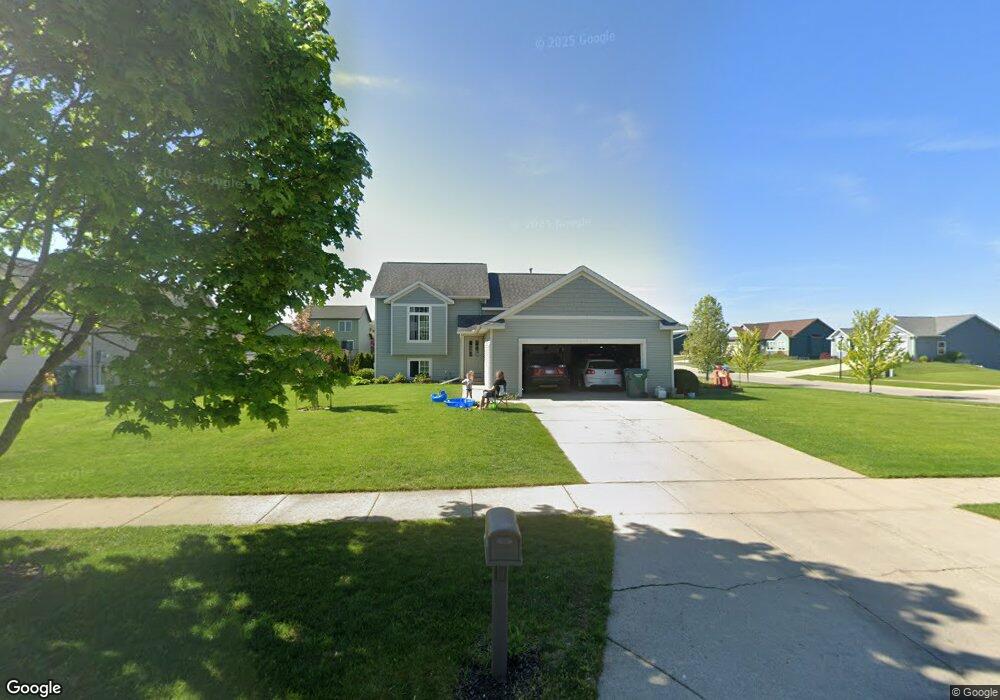
5360 Windfield Dr Allendale, MI 49401
Estimated Value: $350,000 - $391,000
2
Beds
2
Baths
1,395
Sq Ft
$265/Sq Ft
Est. Value
About This Home
This home is located at 5360 Windfield Dr, Allendale, MI 49401 and is currently estimated at $370,372, approximately $265 per square foot. 5360 Windfield Dr is a home located in Ottawa County with nearby schools including Evergreen Elementary School, Allendale Middle School, and Allendale High School.
Ownership History
Date
Name
Owned For
Owner Type
Purchase Details
Closed on
Sep 1, 2014
Sold by
Biltmore Llc
Bought by
Vandersloot Peter and Vandersloot Lisa
Current Estimated Value
Home Financials for this Owner
Home Financials are based on the most recent Mortgage that was taken out on this home.
Original Mortgage
$120,000
Interest Rate
3.12%
Mortgage Type
Adjustable Rate Mortgage/ARM
Create a Home Valuation Report for This Property
The Home Valuation Report is an in-depth analysis detailing your home's value as well as a comparison with similar homes in the area
Home Values in the Area
Average Home Value in this Area
Purchase History
| Date | Buyer | Sale Price | Title Company |
|---|---|---|---|
| Vandersloot Peter | $154,900 | Calder Title Agency Llc |
Source: Public Records
Mortgage History
| Date | Status | Borrower | Loan Amount |
|---|---|---|---|
| Previous Owner | Vandersloot Peter | $120,000 |
Source: Public Records
Tax History Compared to Growth
Tax History
| Year | Tax Paid | Tax Assessment Tax Assessment Total Assessment is a certain percentage of the fair market value that is determined by local assessors to be the total taxable value of land and additions on the property. | Land | Improvement |
|---|---|---|---|---|
| 2025 | $2,858 | $156,200 | $0 | $0 |
| 2024 | $2,443 | $143,300 | $0 | $0 |
| 2023 | $2,331 | $130,700 | $0 | $0 |
| 2022 | $2,588 | $118,900 | $0 | $0 |
| 2021 | $2,519 | $111,900 | $0 | $0 |
| 2020 | $2,489 | $105,200 | $0 | $0 |
| 2019 | $2,442 | $95,800 | $0 | $0 |
| 2018 | $2,294 | $88,200 | $0 | $0 |
| 2017 | $2,233 | $86,700 | $0 | $0 |
| 2016 | $2,144 | $78,700 | $0 | $0 |
| 2015 | -- | $71,900 | $0 | $0 |
| 2014 | -- | $68,300 | $0 | $0 |
Source: Public Records
Map
Nearby Homes
- 10528 Camfield Ct
- 10504 Camfield Ct
- 5279 Windfield Dr
- 5325 Margot Ln
- 5241 Margot Ln
- 9653 52nd Ave
- 5366 Pierce St
- 10718 Melanie Dr
- 10713 Melanie Dr
- 10725 Melanie Dr
- 10786 Melanie Dr
- The Silverton Plan at Pearline Estates
- The Breckenridge Plan at Pearline Estates
- The McKinley Plan at Pearline Estates
- The Emerson Plan at Pearline Estates
- The Whitney Plan at Pearline Estates
- The Harper Plan at Pearline Estates
- The Sierra Plan at Pearline Estates
- The Poppy Plan at Pearline Estates
- The Dickenson Plan at Pearline Estates
- 5348 Windfield Dr
- 5367 Crestfield Ln
- 5353 Crestfield Ln
- 5336 Windfield Dr
- 10559 Richfield Rd
- 10557 Richfield Rd
- 5363 Windfield Dr
- 10563 Richfield Ln
- 5351 Windfield Dr
- 5341 Crestfield Ln
- 5324 Windfield Dr
- 10549 Richfield Rd
- 5339 Windfield Dr
- 10569 Richfield Ln
- 10587 Richfield Ln
- 5327 Crestfield Ln
- 5327 Windfield Dr
- 10510 Richfield Rd
- 5312 Windfield Dr
- 5350 Crestfield Ln