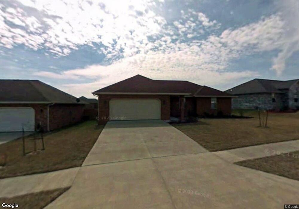
5362 Butternut Dr Springfield, MO 65802
Estimated Value: $246,000 - $252,000
3
Beds
2
Baths
1,400
Sq Ft
$178/Sq Ft
Est. Value
About This Home
This home is located at 5362 Butternut Dr, Springfield, MO 65802 and is currently estimated at $248,710, approximately $177 per square foot. 5362 Butternut Dr is a home located in Greene County with nearby schools including Willard Orchard Hills Elementary School and Willard Intermediate-South.
Ownership History
Date
Name
Owned For
Owner Type
Purchase Details
Closed on
Apr 12, 2023
Sold by
Blevins Doug and Blevins Wonda
Bought by
Blevins Family Investments Llc
Current Estimated Value
Purchase Details
Closed on
Mar 24, 2010
Sold by
Meece Donald L and Meece Nancy C
Bought by
Morelock-Ross Properties Inc
Purchase Details
Closed on
Aug 1, 2007
Sold by
Morelock Ross Properties Inc
Bought by
Meece Donald L and Meece Nancy C
Create a Home Valuation Report for This Property
The Home Valuation Report is an in-depth analysis detailing your home's value as well as a comparison with similar homes in the area
Home Values in the Area
Average Home Value in this Area
Purchase History
| Date | Buyer | Sale Price | Title Company |
|---|---|---|---|
| Blevins Family Investments Llc | -- | None Listed On Document | |
| Morelock-Ross Properties Inc | -- | None Available | |
| Meece Donald L | -- | None Available |
Source: Public Records
Tax History
| Year | Tax Paid | Tax Assessment Tax Assessment Total Assessment is a certain percentage of the fair market value that is determined by local assessors to be the total taxable value of land and additions on the property. | Land | Improvement |
|---|---|---|---|---|
| 2025 | $2,193 | $38,820 | $8,550 | $30,270 |
| 2024 | $1,914 | $34,140 | $4,750 | $29,390 |
| 2023 | $1,905 | $34,140 | $4,750 | $29,390 |
| 2022 | $1,668 | $29,620 | $4,750 | $24,870 |
| 2021 | $1,669 | $29,620 | $4,750 | $24,870 |
| 2020 | $1,285 | $24,780 | $4,750 | $20,030 |
| 2019 | $1,281 | $24,780 | $4,750 | $20,030 |
| 2018 | $1,248 | $24,020 | $4,750 | $19,270 |
| 2017 | $0 | $23,280 | $4,750 | $18,530 |
| 2016 | $1,194 | $23,280 | $4,750 | $18,530 |
| 2015 | $1,185 | $23,280 | $4,750 | $18,530 |
| 2014 | $1,166 | $22,740 | $4,750 | $17,990 |
Source: Public Records
Map
Nearby Homes
- 5355 Basswood Ct W
- 5441 Basswood Ct W
- 5560 W Longleaf Dr
- 820 S Quade Rd
- 5131 W Sunstruck St
- 5163 W Sunstruck St
- 5175 W Sunstruck St
- 5669 W Sunflower Dr
- 875 S Natalie Ave
- 795 S Natalie Ave
- 5439 W Harrison St
- 5635 W Mangrove St
- 1236 S Birch Ave
- 768 S Long Dr
- 5145 W Sunstruck St
- 5817 W Alexa Ln
- 5021 W Tarkio St
- 4800 W Mount Vernon St
- 000 W Farm Road 148
- 413 S Dove Valley Ave
- 5370 Butternut Dr
- 5350 Butternut Dr
- 5363 Basswood Ct W
- 5361 Butternut Dr
- 5371 Basswood Ct W
- 5378 Butternut Dr
- 1047 Blackwood Rd
- 5379 Basswood Ct W
- 5369 Butternut Dr
- 5345 Butternut Dr
- 5355 Basswood Ct
- 5377 Butternut Dr
- 5387 Basswood Ct
- 1042 Blackwood Rd
- 1063 Blackwood Rd
- 5348 Basswood Ct
- 5368 Soapberry Ct
- 5395 Basswood Ct W
- 5360 Soapberry Ct
- 5385 Butternut Dr
Your Personal Tour Guide
Ask me questions while you tour the home.