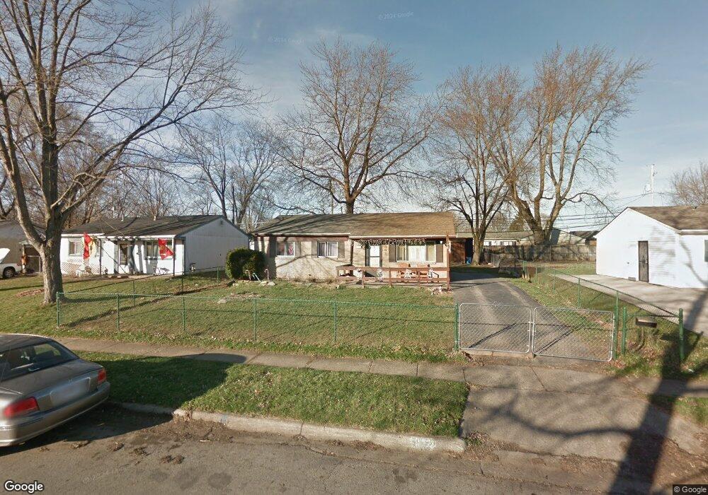
5362 Newport Rd Columbus, OH 43232
East Columbus-White Ash NeighborhoodEstimated Value: $168,504 - $184,000
3
Beds
1
Bath
936
Sq Ft
$188/Sq Ft
Est. Value
About This Home
This home is located at 5362 Newport Rd, Columbus, OH 43232 and is currently estimated at $176,126, approximately $188 per square foot. 5362 Newport Rd is a home located in Franklin County with nearby schools including Groveport Madison High School, Eastland Preparatory Academy, and A+ Arts Academy.
Ownership History
Date
Name
Owned For
Owner Type
Purchase Details
Closed on
Aug 13, 1996
Sold by
Corley Sharon O
Bought by
David T Houchins
Current Estimated Value
Home Financials for this Owner
Home Financials are based on the most recent Mortgage that was taken out on this home.
Original Mortgage
$6,000
Outstanding Balance
$479
Interest Rate
8.33%
Mortgage Type
New Conventional
Estimated Equity
$175,647
Purchase Details
Closed on
Jan 8, 1990
Purchase Details
Closed on
Dec 18, 1989
Create a Home Valuation Report for This Property
The Home Valuation Report is an in-depth analysis detailing your home's value as well as a comparison with similar homes in the area
Home Values in the Area
Average Home Value in this Area
Purchase History
| Date | Buyer | Sale Price | Title Company |
|---|---|---|---|
| David T Houchins | $58,000 | -- | |
| -- | $24,300 | -- | |
| -- | $48,500 | -- |
Source: Public Records
Mortgage History
| Date | Status | Borrower | Loan Amount |
|---|---|---|---|
| Open | David T Houchins | $6,000 |
Source: Public Records
Tax History Compared to Growth
Tax History
| Year | Tax Paid | Tax Assessment Tax Assessment Total Assessment is a certain percentage of the fair market value that is determined by local assessors to be the total taxable value of land and additions on the property. | Land | Improvement |
|---|---|---|---|---|
| 2024 | $2,571 | $51,910 | $14,320 | $37,590 |
| 2023 | $2,554 | $51,905 | $14,315 | $37,590 |
| 2022 | $1,529 | $24,610 | $6,370 | $18,240 |
| 2021 | $1,571 | $24,610 | $6,370 | $18,240 |
| 2020 | $1,575 | $24,610 | $6,370 | $18,240 |
| 2019 | $1,488 | $20,410 | $5,320 | $15,090 |
| 2018 | $1,544 | $20,410 | $5,320 | $15,090 |
| 2017 | $1,550 | $20,410 | $5,320 | $15,090 |
| 2016 | $1,594 | $19,640 | $3,960 | $15,680 |
| 2015 | $1,593 | $19,640 | $3,960 | $15,680 |
| 2014 | $1,457 | $19,640 | $3,960 | $15,680 |
| 2013 | $712 | $21,805 | $4,375 | $17,430 |
Source: Public Records
Map
Nearby Homes
- 5391 Newport Rd
- 5254 Sedalia Dr
- 5522 Newport Ct
- 3773 Tylor Dr
- 3773 Clearwater Dr
- 3739 Atkinson Rd
- 3493 Tremaine Rd
- 3246 Latonia Rd
- 5106 Harbor Blvd
- 3567 Wymore Place
- 5152 Burdett Dr
- 3496 Cadell Rd
- 5397 Jack Russell Way
- 5044 Albany Dr
- 3387 Retriever Rd
- 5408 Rohden Dr
- 3721 Aurelia Dr
- 5323 Sundale Place S
- 5004 Bentler Dr
- 5174 Fullerton Dr
- 5374 Newport Rd
- 5354 Newport Rd
- 5346 Newport Rd
- 5386 Newport Rd
- 5349 Sedalia Dr
- 5355 Sedalia Dr
- 5363 Newport Rd
- 5341 Sedalia Dr
- 5367 Sedalia Dr
- 3608 Tylor Dr
- 5338 Newport Rd
- 5392 Newport Rd
- 5333 Sedalia Dr
- 5375 Sedalia Dr
- 5387 Newport Rd
- 5329 Newport Rd
- 5330 Newport Rd
- 5319 Sedalia Dr
- 5400 Newport Rd
- 5383 Sedalia Dr