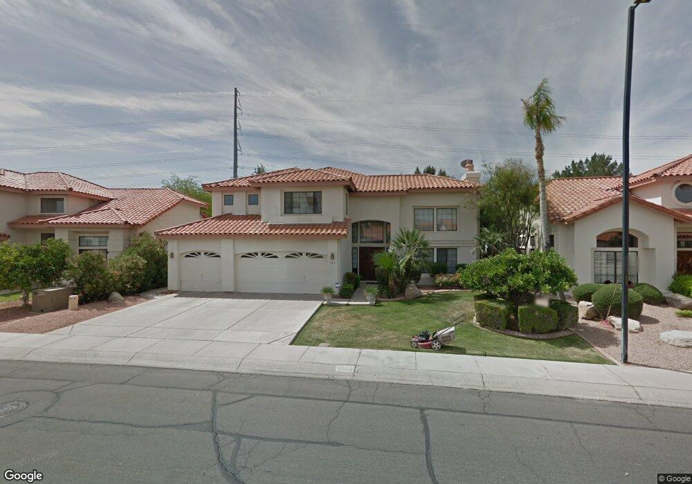
5363 W Wethersfield Dr Glendale, AZ 85304
Estimated Value: $485,530 - $636,000
--
Bed
4
Baths
2,932
Sq Ft
$194/Sq Ft
Est. Value
About This Home
This home is located at 5363 W Wethersfield Dr, Glendale, AZ 85304 and is currently estimated at $569,383, approximately $194 per square foot. 5363 W Wethersfield Dr is a home located in Maricopa County with nearby schools including Marshall Ranch Elementary School, Ironwood High School, and Intelli-School Glendale.
Ownership History
Date
Name
Owned For
Owner Type
Purchase Details
Closed on
Nov 16, 2020
Sold by
Brown Charles A and Spearman Brown Joy
Bought by
Brown Charles A and Spearman Brown Joy
Current Estimated Value
Home Financials for this Owner
Home Financials are based on the most recent Mortgage that was taken out on this home.
Original Mortgage
$244,500
Interest Rate
2.8%
Mortgage Type
New Conventional
Purchase Details
Closed on
Oct 26, 2009
Sold by
Brown Charles A and Spearman Brown Joy L
Bought by
Brown Charles A and Spearman Brown Joy L
Create a Home Valuation Report for This Property
The Home Valuation Report is an in-depth analysis detailing your home's value as well as a comparison with similar homes in the area
Home Values in the Area
Average Home Value in this Area
Purchase History
| Date | Buyer | Sale Price | Title Company |
|---|---|---|---|
| Brown Charles A | -- | Pioneer Title Agency Inc | |
| Brown Charles A | -- | Pioneer Title Agency Inc | |
| Brown Charles A | -- | None Available |
Source: Public Records
Mortgage History
| Date | Status | Borrower | Loan Amount |
|---|---|---|---|
| Closed | Brown Charles A | $244,500 |
Source: Public Records
Tax History Compared to Growth
Tax History
| Year | Tax Paid | Tax Assessment Tax Assessment Total Assessment is a certain percentage of the fair market value that is determined by local assessors to be the total taxable value of land and additions on the property. | Land | Improvement |
|---|---|---|---|---|
| 2025 | $2,017 | $26,471 | -- | -- |
| 2024 | $2,059 | $25,210 | -- | -- |
| 2023 | $2,059 | $39,070 | $7,810 | $31,260 |
| 2022 | $2,040 | $28,570 | $5,710 | $22,860 |
| 2021 | $2,190 | $27,230 | $5,440 | $21,790 |
| 2020 | $2,223 | $27,450 | $5,490 | $21,960 |
| 2019 | $2,161 | $26,880 | $5,370 | $21,510 |
| 2018 | $2,110 | $25,630 | $5,120 | $20,510 |
| 2017 | $2,124 | $23,030 | $4,600 | $18,430 |
| 2016 | $2,111 | $22,100 | $4,420 | $17,680 |
| 2015 | $1,980 | $22,270 | $4,450 | $17,820 |
Source: Public Records
Map
Nearby Homes
- 12407 N 54th Ave
- 5341 W Bloomfield Rd
- 5318 W Shaw Butte Dr
- 5320 W Desert Hills Dr Unit 3
- 5319 W Columbine Dr
- 12031 N 53rd Ave
- 5221 W Columbine Dr
- 5534 W Riviera Dr
- 5432 W Sunnyside Dr
- 12327 N 57th Dr
- 5228 W Aster Dr
- 5174 W Laurel Ave
- 11639 N 52nd Ave
- 5148 W Dahlia Dr
- 11640 N 51st Ave Unit 204
- 11640 N 51st Ave Unit 137
- 11640 N 51st Ave Unit 221
- 11640 N 51st Ave Unit 250
- 5422 W Pershing Ave
- 12334 N 58th Dr
- 5357 W Wethersfield Dr
- 5371 W Wethersfield Dr
- 5351 W Wethersfield Dr
- 5377 W Wethersfield Dr
- 5362 W Wethersfield Dr
- 5370 W Wethersfield Dr
- 5352 W Wethersfield Dr
- 5345 W Wethersfield Dr
- 5425 W Wethersfield Dr
- 5346 W Wethersfield Dr
- 5420 W Shaw Butte Dr
- 5339 W Wethersfield Dr
- 5420 W Wethersfield Dr
- 12056 N 54th Ave
- 5359 W Bloomfield Rd
- 5431 W Wethersfield Dr
- 5365 W Bloomfield Rd
- 5424 W Shaw Butte Dr
- 5353 W Bloomfield Rd
- 5340 W Wethersfield Dr