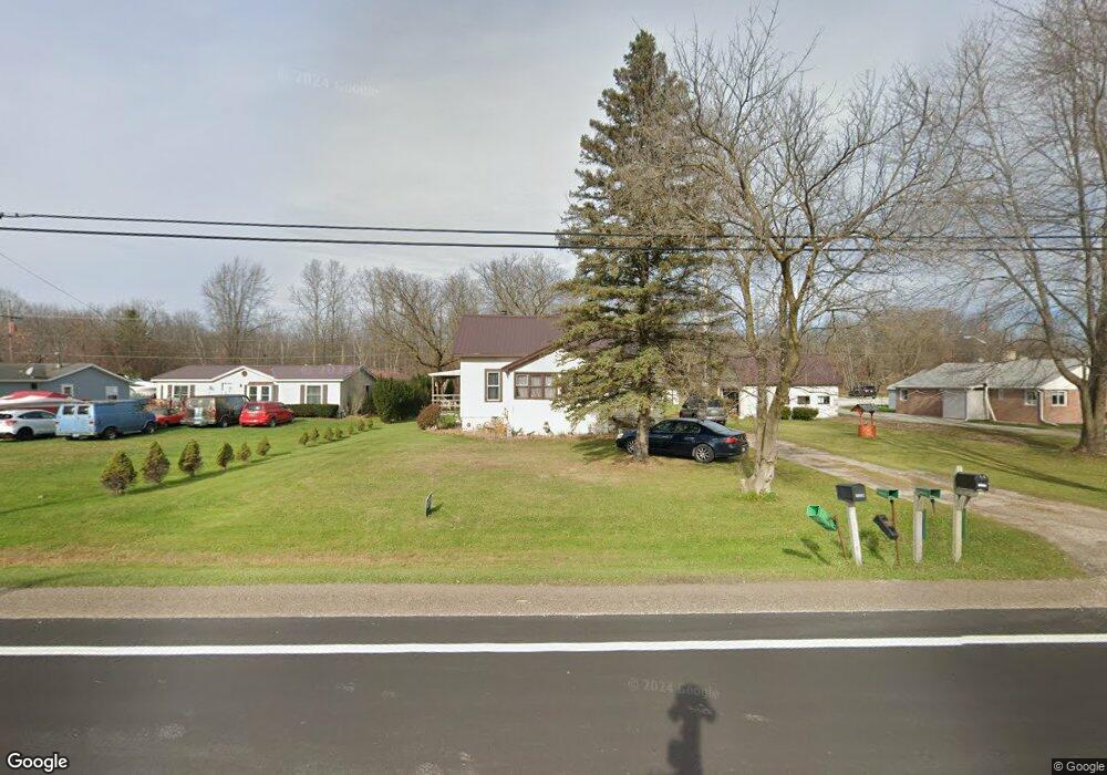
5364 Griswold Rd Kimball, MI 48074
Estimated Value: $137,000 - $210,000
4
Beds
1
Bath
1,479
Sq Ft
$118/Sq Ft
Est. Value
About This Home
This home is located at 5364 Griswold Rd, Kimball, MI 48074 and is currently estimated at $174,625, approximately $118 per square foot. 5364 Griswold Rd is a home located in St. Clair County with nearby schools including Kimball Elementary School, Central Middle School, and Port Huron High School.
Ownership History
Date
Name
Owned For
Owner Type
Purchase Details
Closed on
Jul 18, 2018
Sold by
Claus Patricia A
Bought by
Harshman Bruce F
Current Estimated Value
Purchase Details
Closed on
Jul 11, 2018
Sold by
Claus Patricia A
Bought by
Harshman Bruce F
Purchase Details
Closed on
Apr 25, 2017
Sold by
Claus Patricia Ann
Bought by
Claus And Company Property Management Ll
Purchase Details
Closed on
Sep 17, 2013
Sold by
Roberts Burnett Kelly
Bought by
Claus Patricia Ann
Create a Home Valuation Report for This Property
The Home Valuation Report is an in-depth analysis detailing your home's value as well as a comparison with similar homes in the area
Home Values in the Area
Average Home Value in this Area
Purchase History
| Date | Buyer | Sale Price | Title Company |
|---|---|---|---|
| Harshman Bruce F | $45,000 | None Listed On Document | |
| Harshman Bruce F | $45,000 | None Listed On Document | |
| Claus And Company Property Management Ll | -- | None Available | |
| Claus Patricia Ann | -- | None Available |
Source: Public Records
Tax History Compared to Growth
Tax History
| Year | Tax Paid | Tax Assessment Tax Assessment Total Assessment is a certain percentage of the fair market value that is determined by local assessors to be the total taxable value of land and additions on the property. | Land | Improvement |
|---|---|---|---|---|
| 2025 | $1,461 | $62,400 | $0 | $0 |
| 2024 | $731 | $61,900 | $0 | $0 |
| 2023 | $669 | $59,600 | $0 | $0 |
| 2022 | $1,501 | $53,900 | $0 | $0 |
| 2021 | $1,113 | $51,600 | $0 | $0 |
| 2020 | $1,113 | $46,700 | $46,700 | $0 |
| 2019 | $1,309 | $42,100 | $0 | $0 |
| 2018 | $1,979 | $41,200 | $0 | $0 |
| 2017 | $1,930 | $42,500 | $0 | $0 |
| 2016 | $1,130 | $42,500 | $0 | $0 |
| 2015 | -- | $41,200 | $41,200 | $0 |
| 2014 | -- | $34,500 | $34,500 | $0 |
| 2013 | -- | $42,700 | $0 | $0 |
Source: Public Records
Map
Nearby Homes
- 5510 Griswold Rd
- 1876 Morningstar Ave
- 1979 Allen Rd
- V/L Allen
- 2007 Edward Ln E
- 1701 Allen Rd
- 2022 Edward Ln W
- 2047 Edward Ln E
- 0 Allen Rd Unit 20250008597
- 0 Allen Rd Unit 20250008612
- 2019 Edward Ln E
- 0 Wadhams Rd Unit 50155021
- 1604 Allen Rd
- 00 Howard Rd
- 00 Griswold Rd
- 4632 Cloverdale Ln
- 4595 Griswold Rd
- 0 Lapeer Rd Unit 50137357
- 599 Trout Lake Ct
- 0000 Range Rd
- 5374 Griswold Rd
- 5376 Griswold Rd
- 5332 Griswold Rd
- 5361 Griswold Rd
- 5386 Griswold Rd
- 5351 Griswold Rd
- 5339 Griswold Rd
- 5343 Griswold Rd
- 5335 Griswold Rd
- 5394 Griswold Rd
- 5318 Griswold Rd
- 5327 Griswold Rd
- 5400 Griswold Rd
- 5334 Griswold Rd
- 5310 Griswold Rd
- 5319 Griswold Rd
- 5302 Griswold Rd
- 5305 Griswold Rd
- 5292 Griswold Rd
- 5420 Griswold Rd