5364 Highway 53 E Dawsonville, GA 30534
Dawson County NeighborhoodEstimated Value: $851,000 - $1,436,790
4
Beds
6
Baths
4,208
Sq Ft
$244/Sq Ft
Est. Value
About This Home
This home is located at 5364 Highway 53 E, Dawsonville, GA 30534 and is currently estimated at $1,026,948, approximately $244 per square foot. 5364 Highway 53 E is a home located in Dawson County with nearby schools including Black's Mill Elementary School, Dawson County Middle School, and Dawson County Junior High School.
Ownership History
Date
Name
Owned For
Owner Type
Purchase Details
Closed on
Aug 30, 2012
Sold by
Pelfrey Ken Travis
Bought by
Pelfrey Deborah B and Pelfrey Kenny M
Current Estimated Value
Home Financials for this Owner
Home Financials are based on the most recent Mortgage that was taken out on this home.
Original Mortgage
$263,296
Interest Rate
3.58%
Mortgage Type
New Conventional
Purchase Details
Closed on
Jul 16, 2002
Sold by
Byrd Thelma E
Bought by
Pelfrey Travis and Pelfrey Jody S
Purchase Details
Closed on
Feb 15, 2002
Sold by
Byrd Thelma E
Bought by
Pelfrey Travis
Create a Home Valuation Report for This Property
The Home Valuation Report is an in-depth analysis detailing your home's value as well as a comparison with similar homes in the area
Home Values in the Area
Average Home Value in this Area
Purchase History
| Date | Buyer | Sale Price | Title Company |
|---|---|---|---|
| Pelfrey Deborah B | -- | -- | |
| Pelfrey Travis | -- | -- | |
| Byrd Thelma E | -- | -- | |
| Pelfrey Travis | -- | -- |
Source: Public Records
Mortgage History
| Date | Status | Borrower | Loan Amount |
|---|---|---|---|
| Closed | Pelfrey Deborah B | $263,296 |
Source: Public Records
Tax History Compared to Growth
Tax History
| Year | Tax Paid | Tax Assessment Tax Assessment Total Assessment is a certain percentage of the fair market value that is determined by local assessors to be the total taxable value of land and additions on the property. | Land | Improvement |
|---|---|---|---|---|
| 2024 | $6,972 | $429,560 | $71,280 | $358,280 |
| 2023 | $6,986 | $410,400 | $53,360 | $357,040 |
| 2022 | $7,016 | $327,520 | $41,680 | $285,840 |
| 2021 | $6,375 | $281,760 | $41,680 | $240,080 |
| 2020 | $6,268 | $264,880 | $30,840 | $234,040 |
| 2019 | $6,325 | $265,000 | $30,840 | $234,160 |
| 2018 | $6,338 | $265,000 | $30,840 | $234,160 |
| 2017 | $5,397 | $225,644 | $14,763 | $210,881 |
| 2016 | $5,105 | $213,448 | $14,763 | $198,685 |
| 2015 | $4,514 | $182,854 | $14,098 | $168,756 |
| 2014 | $4,150 | $162,856 | $14,098 | $148,758 |
| 2013 | -- | $74,960 | $14,098 | $60,862 |
Source: Public Records
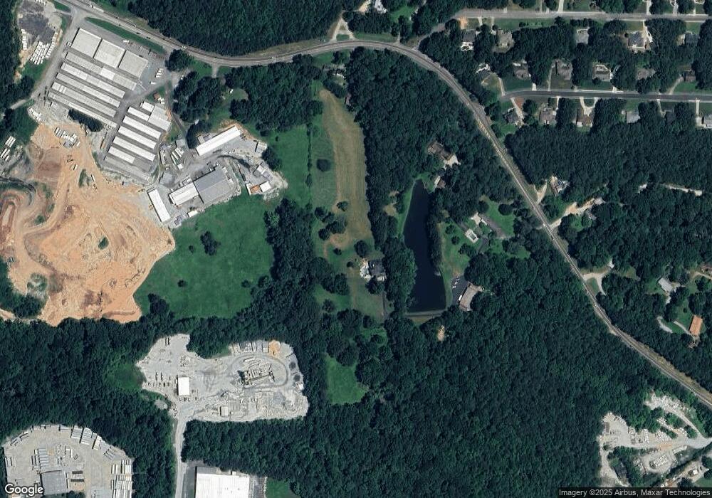
Map
Nearby Homes
- 162 Riverview Dr
- 565 Brights Way
- 100 Valley Brook Dr
- 60 Hillside Dr
- 995 Lumpkin Campground Rd N
- 65 Columbine Glade
- 188 Mayapple Glen
- 70 Goldenrod Overlook
- LL247 Grizzle Rd
- 34 Sassafras Grove
- Sudbury Plan at Hughes Court
- Salisbury Plan at Hughes Court
- 3828 Highway 53 E
- 78 Hughes Place Dr
- 78 Hughes Place Dr Unit 57
- 566 Etowah River Rd
- 75 Pineview Dr
- 123 Shelter Ln E
- 5362 Highway 53 E
- 5402 Highway 53 E
- 5402 Highway 53 E
- 5419 Highway 53 E
- 28 Meadows Ct
- 27 Meadows Ct
- 114 Robs Way
- 114 Robs Way
- 66 Meadows Ct
- 40 Brights Way
- 5190 Highway 53 E
- 5040 Highway 53 E
- 41 Meadows Ct
- 0 Robs Way
- 82 Brights Way Unit 2
- 82 Brights Way
- 102 Meadows Ct
- 75 Meadows Ct Unit 3
- 75 Meadows Ct Unit 3
- 75 Meadows Ct