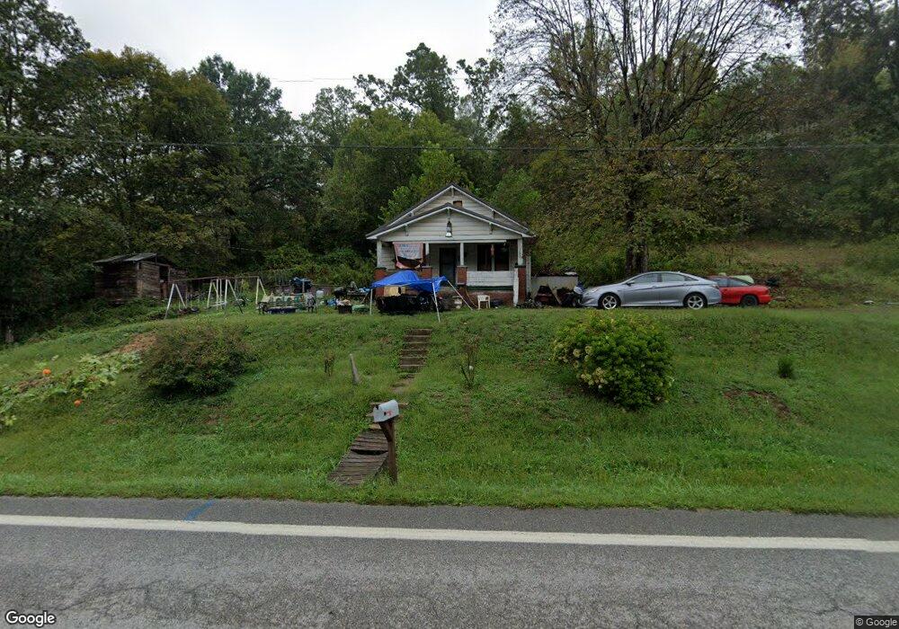
5365 State Route 141 Ironton, OH 45638
Estimated Value: $84,542 - $126,000
2
Beds
1
Bath
998
Sq Ft
$106/Sq Ft
Est. Value
About This Home
This home is located at 5365 State Route 141, Ironton, OH 45638 and is currently estimated at $105,386, approximately $105 per square foot. 5365 State Route 141 is a home located in Lawrence County with nearby schools including Rock Hill Elementary School, Rock Hill Middle School, and Rock Hill Senior High School.
Ownership History
Date
Name
Owned For
Owner Type
Purchase Details
Closed on
Feb 19, 2015
Sold by
Lambert Steven R and Lambert Randall L
Bought by
Warboy William and Warboy Tammie
Current Estimated Value
Home Financials for this Owner
Home Financials are based on the most recent Mortgage that was taken out on this home.
Original Mortgage
$35,500
Outstanding Balance
$27,069
Interest Rate
3.64%
Mortgage Type
Seller Take Back
Estimated Equity
$78,317
Purchase Details
Closed on
Jan 2, 2007
Sold by
Lambert Donald R and Lambert Jeannine B
Bought by
Lambert Steven R and Lambert Randall L
Purchase Details
Closed on
Dec 18, 1995
Sold by
Hall Emerson and Hall Anna
Bought by
Lambert Donald R and Lambert Jean
Create a Home Valuation Report for This Property
The Home Valuation Report is an in-depth analysis detailing your home's value as well as a comparison with similar homes in the area
Home Values in the Area
Average Home Value in this Area
Purchase History
| Date | Buyer | Sale Price | Title Company |
|---|---|---|---|
| Warboy William | $38,500 | None Available | |
| Lambert Steven R | -- | Attorney | |
| Lambert Donald R | -- | -- |
Source: Public Records
Mortgage History
| Date | Status | Borrower | Loan Amount |
|---|---|---|---|
| Open | Warboy William | $35,500 |
Source: Public Records
Tax History Compared to Growth
Tax History
| Year | Tax Paid | Tax Assessment Tax Assessment Total Assessment is a certain percentage of the fair market value that is determined by local assessors to be the total taxable value of land and additions on the property. | Land | Improvement |
|---|---|---|---|---|
| 2024 | -- | $18,820 | $3,340 | $15,480 |
| 2023 | $550 | $18,820 | $3,340 | $15,480 |
| 2022 | $547 | $18,820 | $3,340 | $15,480 |
| 2021 | $446 | $15,380 | $2,770 | $12,610 |
| 2020 | $466 | $15,380 | $2,770 | $12,610 |
| 2019 | $464 | $15,380 | $2,770 | $12,610 |
| 2018 | $463 | $15,200 | $2,770 | $12,430 |
| 2017 | $463 | $15,200 | $2,770 | $12,430 |
| 2016 | $427 | $15,200 | $2,770 | $12,430 |
| 2015 | $386 | $13,460 | $2,770 | $10,690 |
| 2014 | $385 | $13,460 | $2,770 | $10,690 |
| 2013 | $384 | $13,460 | $2,770 | $10,690 |
Source: Public Records
Map
Nearby Homes
- 106 County Road 5
- 3894 State Route 141
- 1165 Kitts Hill Rd
- 571 County Road 52
- 572 Township Road 145
- 572 Township Road 145 Unit KO-4
- 0 County Road 181 Unit 24215136
- 0 County Road 181 Unit 11540303
- 2480 County Road 181
- 682 County Road 105
- 859 County Road 53
- 885 County Road 53
- 1917 Woodland Dr
- 1219 Penobscot Trail
- 1222 Osage Ct
- 0 Ora Richey Rd
- 2616 S 13th St
- 2620 S 13th St
- 2001 Liberty Ave
- 2418 S 12th St
- 5338 State Route 141
- 5374 State Route 141
- 5279 State Route 141
- 121 Private Road 5322 Unit 141
- 121 Private Road 5322 Unit 141
- 5511 State Route 141
- 5470 State Route 141
- 5533 State Route 141
- 5560 State Route 141
- 5153 State Route 141
- 5211 State Route 141
- 5213 State Route 141 Unit IO-6
- 5213 State Route 141
- 5101 State Route 141
- 5101 Ohio 141
- 5645 State Route 141
- 5645 State Route 141
- 5644 State Route 141
- 5090 State Route 141
- 5691 State Route 141