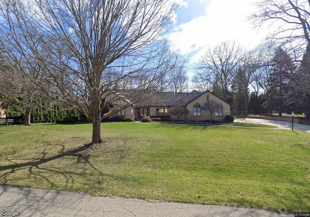
5367 Bradford Cir Brighton, MI 48114
Estimated Value: $497,000 - $720,000
5
Beds
4
Baths
2,248
Sq Ft
$256/Sq Ft
Est. Value
About This Home
This home is located at 5367 Bradford Cir, Brighton, MI 48114 and is currently estimated at $576,375, approximately $256 per square foot. 5367 Bradford Cir is a home located in Livingston County with nearby schools including Spencer Road Elementary School, Scranton Middle School, and Brighton High School.
Ownership History
Date
Name
Owned For
Owner Type
Purchase Details
Closed on
Feb 1, 2011
Sold by
Dorland Stephen J and Dorland Frances L
Bought by
Johnson Gary and Johnson Deborah M
Current Estimated Value
Purchase Details
Closed on
Mar 31, 2003
Sold by
Massie Jon W
Bought by
Dorland Stephen J and Dorland Frances L
Purchase Details
Closed on
Jul 12, 2001
Sold by
Massie Jon W
Bought by
Massie Jon W
Home Financials for this Owner
Home Financials are based on the most recent Mortgage that was taken out on this home.
Original Mortgage
$165,000
Interest Rate
6%
Create a Home Valuation Report for This Property
The Home Valuation Report is an in-depth analysis detailing your home's value as well as a comparison with similar homes in the area
Home Values in the Area
Average Home Value in this Area
Purchase History
| Date | Buyer | Sale Price | Title Company |
|---|---|---|---|
| Johnson Gary | $271,600 | -- | |
| Dorland Stephen J | $389,500 | Landmark Title Services | |
| Massie Jon W | -- | -- |
Source: Public Records
Mortgage History
| Date | Status | Borrower | Loan Amount |
|---|---|---|---|
| Previous Owner | Massie Jon W | $165,000 |
Source: Public Records
Tax History Compared to Growth
Tax History
| Year | Tax Paid | Tax Assessment Tax Assessment Total Assessment is a certain percentage of the fair market value that is determined by local assessors to be the total taxable value of land and additions on the property. | Land | Improvement |
|---|---|---|---|---|
| 2025 | $4,269 | $253,600 | $0 | $0 |
| 2024 | $2,438 | $247,000 | $0 | $0 |
| 2023 | $2,330 | $219,400 | $0 | $0 |
| 2022 | $3,917 | $185,000 | $0 | $0 |
| 2021 | $3,917 | $186,900 | $0 | $0 |
| 2020 | $3,900 | $185,400 | $0 | $0 |
| 2019 | $3,843 | $185,000 | $0 | $0 |
| 2018 | $3,626 | $186,300 | $0 | $0 |
| 2017 | $3,561 | $186,300 | $0 | $0 |
| 2016 | $3,539 | $185,500 | $0 | $0 |
| 2014 | $2,944 | $156,330 | $0 | $0 |
| 2012 | $2,944 | $138,620 | $0 | $0 |
Source: Public Records
Map
Nearby Homes
- 11200 Ford Rd
- 11306 Woodruff Lake Dr
- 5585 Woodruff Shore Dr Unit 1
- 5908 Woodruff View Dr
- 5955 Alan Dr Unit 60
- 5980 Alan Dr Unit 2
- 5959 Alan Dr
- 5959 Alan Dr Unit 56
- 5959 Alan Dr Unit 53
- 5920 Pleasant Valley Rd
- 10836 Cartier Dr
- 11910 Brandywine Dr
- 11426 Wolfort Spur Unit 41
- 11180 Spencer Rd
- 4893 Canyon Oaks Dr
- 11152 Spruce Point Dr
- 5308 Kierstan Dr
- 5821 Felske Dr
- 4445 Old Warner Ct
- 5959 Ford Ct
- 5401 Bradford Cir
- 5333 Bradford Cir
- 5358 Bradford Cir
- 5439 Bradford Cir
- 5299 Bradford Cir
- 11185 Winthrop Ln
- 11181 Exeter Ln
- 11144 Exeter Ln
- 5463 Bradford Cir
- 5265 Bradford Cir
- 11365 Culver Rd
- 11141 Winthrop Ln
- 11139 Exeter Ln
- 11381 Culver Rd
- 11102 Exeter Ln
- 5495 Bradford Cir
- 5474 Bradford Cir
- 11099 Winthrop Ln
- 5231 Bradford Cir
- 11097 Exeter Ln