5367 Silver Ln Iron Station, NC 28080
Estimated Value: $413,000 - $637,000
4
Beds
3
Baths
1,857
Sq Ft
$280/Sq Ft
Est. Value
About This Home
This home is located at 5367 Silver Ln, Iron Station, NC 28080 and is currently estimated at $519,032, approximately $279 per square foot. 5367 Silver Ln is a home located in Lincoln County with nearby schools including Iron Station Elementary School, East Lincoln Middle School, and East Lincoln High School.
Ownership History
Date
Name
Owned For
Owner Type
Purchase Details
Closed on
Jul 30, 2024
Sold by
Mintz William L and Tiberi Cheryl M
Bought by
Tiberi Cheryl M and Tiberi Louis E
Current Estimated Value
Purchase Details
Closed on
Jul 24, 2024
Sold by
Mintz William L and Tiberi Cheryl M
Bought by
Mintz William L
Purchase Details
Closed on
Jun 17, 2020
Sold by
Mintz Maxine M and Mintz William L
Bought by
Wise Kevin Scott
Home Financials for this Owner
Home Financials are based on the most recent Mortgage that was taken out on this home.
Original Mortgage
$415,000
Interest Rate
3.2%
Mortgage Type
Seller Take Back
Create a Home Valuation Report for This Property
The Home Valuation Report is an in-depth analysis detailing your home's value as well as a comparison with similar homes in the area
Home Values in the Area
Average Home Value in this Area
Purchase History
| Date | Buyer | Sale Price | Title Company |
|---|---|---|---|
| Tiberi Cheryl M | -- | None Listed On Document | |
| Mintz William L | -- | None Listed On Document | |
| Wise Kevin Scott | $15,500 | None Available |
Source: Public Records
Mortgage History
| Date | Status | Borrower | Loan Amount |
|---|---|---|---|
| Previous Owner | Wise Kevin Scott | $415,000 |
Source: Public Records
Tax History Compared to Growth
Tax History
| Year | Tax Paid | Tax Assessment Tax Assessment Total Assessment is a certain percentage of the fair market value that is determined by local assessors to be the total taxable value of land and additions on the property. | Land | Improvement |
|---|---|---|---|---|
| 2025 | $2,857 | $438,973 | $55,979 | $382,994 |
| 2024 | $2,837 | $438,973 | $55,979 | $382,994 |
| 2023 | $2,778 | $438,973 | $55,979 | $382,994 |
| 2022 | $2,009 | $257,529 | $37,903 | $219,626 |
| 2021 | $2,009 | $257,529 | $37,903 | $219,626 |
| 2020 | $1,843 | $257,529 | $37,903 | $219,626 |
| 2019 | $1,843 | $257,529 | $37,903 | $219,626 |
| 2018 | $1,626 | $209,599 | $36,403 | $173,196 |
| 2017 | $1,525 | $209,599 | $36,403 | $173,196 |
| 2016 | $1,525 | $209,599 | $36,403 | $173,196 |
| 2015 | $1,580 | $209,599 | $36,403 | $173,196 |
| 2014 | $1,643 | $220,343 | $36,322 | $184,021 |
Source: Public Records
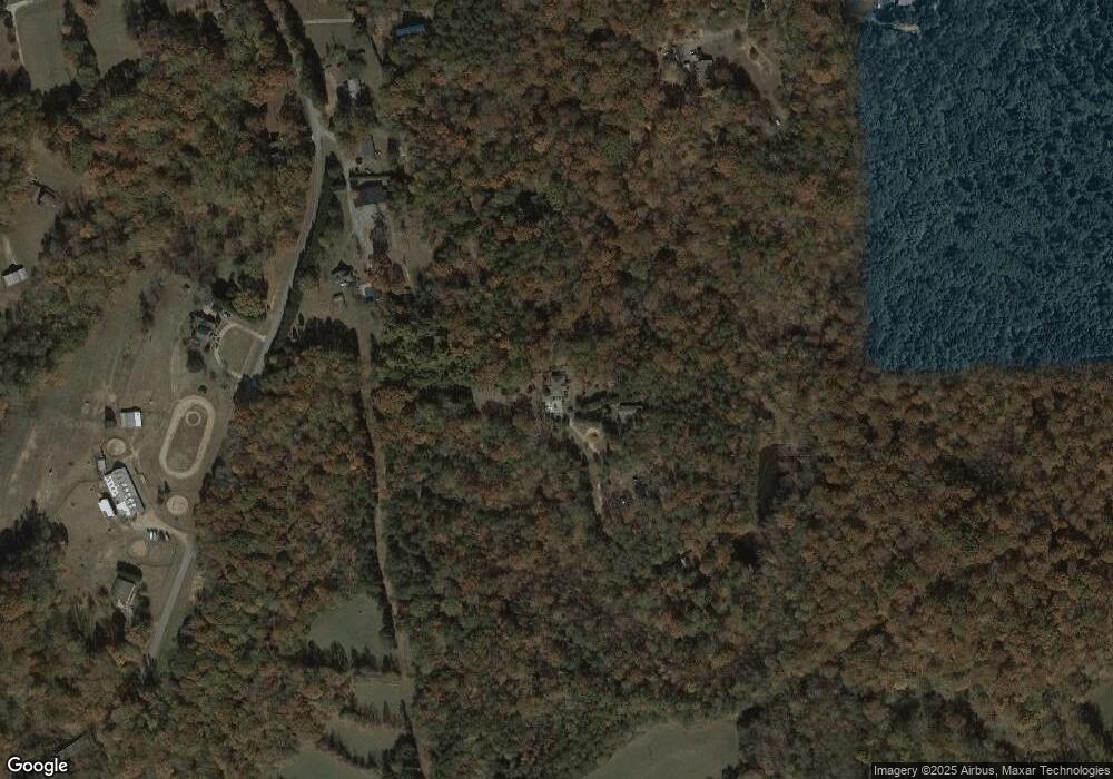
Map
Nearby Homes
- 1789 Doe Ct
- 1785 Doe Ct
- 5756 Rumfelt Rd
- 4435 Cornett Dr
- 4859 Paysour Pond Rd
- 3323 Sadler Rd
- 4394 Mountain Creek Rd
- 6 Hager Mountain Ln
- 2813 Sadler Rd
- 0 Mariposa Rd Unit CAR4237549
- 0 Mariposa Rd Unit CAR4247367
- 0 Oak Park Ct Unit 17
- 1713 Oak Park Ct
- 1615 Oak Park Ct
- 0 Wolf Rd Unit 8
- 6636 Old Plank Rd
- 1208 Mariposa Rd
- 5039 Penn Rd
- 5732 Daybrook Ct
- 450 Greywalls Ln
- 5389 Silver Ln
- 1485 Mount Zion Church Rd
- 5381 Silver Ln
- 1501 Mount Zion Church Rd
- 1473 Mount Zion Church Rd
- 1510 Mount Zion Church Rd
- 1456 Hilldale Ln
- 1550 Mount Zion Church Rd
- 1448 Mount Zion Church Rd
- 1455 Mount Zion Church Rd
- 1445 Mount Zion Church Rd
- 1655 Mount Zion Church Rd
- 1616 Mount Zion Church Rd
- 5274 Stone Haven Ln
- 1453 Hilldale Ln
- 1445 Hilldale Ln
- 1694 Mount Zion Church Rd
- 1325 Mount Zion Church Rd
- 1433 Hilldale Ln
- 1341 Mount Zion Church Rd