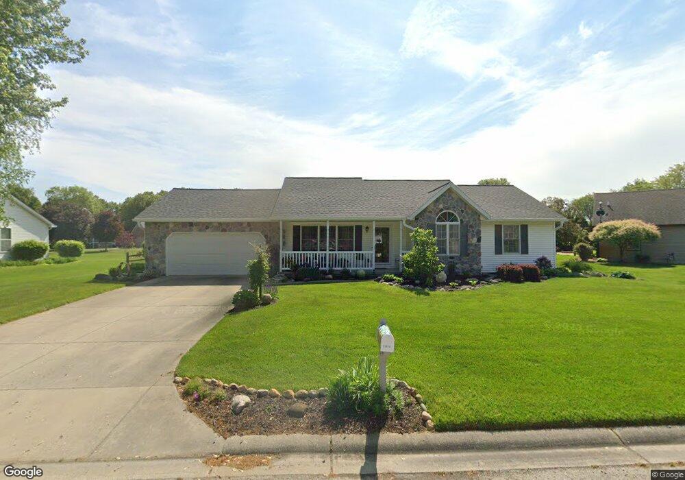
53674 Michael Ct Elkhart, IN 46514
Estimated Value: $271,000 - $307,000
3
Beds
2
Baths
1,378
Sq Ft
$207/Sq Ft
Est. Value
About This Home
This home is located at 53674 Michael Ct, Elkhart, IN 46514 and is currently estimated at $285,169, approximately $206 per square foot. 53674 Michael Ct is a home located in Elkhart County with nearby schools including Eastwood Elementary School, North Side Middle School, and Elkhart High School's Freshman Division.
Ownership History
Date
Name
Owned For
Owner Type
Purchase Details
Closed on
Dec 19, 2001
Sold by
Forrest Troy M and Forrest Terrie L
Bought by
Fine Jennifer F
Current Estimated Value
Home Financials for this Owner
Home Financials are based on the most recent Mortgage that was taken out on this home.
Original Mortgage
$89,900
Outstanding Balance
$36,040
Interest Rate
6.92%
Estimated Equity
$249,129
Create a Home Valuation Report for This Property
The Home Valuation Report is an in-depth analysis detailing your home's value as well as a comparison with similar homes in the area
Home Values in the Area
Average Home Value in this Area
Purchase History
| Date | Buyer | Sale Price | Title Company |
|---|---|---|---|
| Fine Jennifer F | -- | Metropolitan Title In Llc |
Source: Public Records
Mortgage History
| Date | Status | Borrower | Loan Amount |
|---|---|---|---|
| Open | Fine Jennifer F | $89,900 |
Source: Public Records
Tax History Compared to Growth
Tax History
| Year | Tax Paid | Tax Assessment Tax Assessment Total Assessment is a certain percentage of the fair market value that is determined by local assessors to be the total taxable value of land and additions on the property. | Land | Improvement |
|---|---|---|---|---|
| 2024 | $1,672 | $233,000 | $16,100 | $216,900 |
| 2022 | $1,672 | $209,200 | $16,100 | $193,100 |
| 2021 | $1,554 | $189,600 | $16,100 | $173,500 |
| 2020 | $1,565 | $175,500 | $16,100 | $159,400 |
| 2019 | $1,411 | $163,900 | $16,100 | $147,800 |
| 2018 | $1,341 | $153,400 | $16,300 | $137,100 |
| 2017 | $1,245 | $143,100 | $16,300 | $126,800 |
| 2016 | $1,220 | $142,800 | $16,300 | $126,500 |
| 2014 | $1,037 | $127,200 | $16,300 | $110,900 |
| 2013 | $1,107 | $127,200 | $16,300 | $110,900 |
Source: Public Records
Map
Nearby Homes
- 53685 Sweetspire Trail
- 53815 Spring Mill Dr W
- 23151 Montrose Park Dr S
- 4034 Timber Ct
- 22805 Guilford Ct
- 1671 Brookstone Ct
- 54137 Old Mill Dr
- 4314 Bristol St
- 2583 Timberstone Dr
- 54160 Forest Grove Ave
- 2548 Timberstone Dr
- 2554 Timberstone Dr
- 54254 Stone Way
- 1706 Cobblestone Blvd
- 1539 Stone Ct
- 53911 Kershner Ln
- 4334 E Bristol St
- 2405 Lane St
- 1806 Woodland Dr
- 22058 Woodside Dr
- 53700 Michael Ct
- 53648 Michael Ct
- 53644 Reid Ct
- 22931 Fox Fire Dr
- 53689 Michael Ct
- 53665 Michael Ct
- 22911 Fox Fire Dr
- 53634 Reid Ct
- 53641 Michael Ct
- 53618 Reid Ct
- 53622 Reid Ct
- 22954 Fox Fire Dr
- 53713 Michael Ct
- 22938 Fox Fire Dr
- 22895 Fox Fire Dr
- 22922 Fox Fire Dr
- 53617 Michael Ct
- 22970 Fox Fire Dr
- 53619 Arrowwood Dr
- 53637 Arrowwood Dr