53695 Blaine Barton Rd Bridgeport, OH 43912
Estimated Value: $243,000 - $380,000
4
Beds
2
Baths
2,040
Sq Ft
$142/Sq Ft
Est. Value
About This Home
This home is located at 53695 Blaine Barton Rd, Bridgeport, OH 43912 and is currently estimated at $290,626, approximately $142 per square foot. 53695 Blaine Barton Rd is a home located in Belmont County with nearby schools including Bridgeport Elementary School, Bridgeport Middle School, and Bridgeport High School.
Ownership History
Date
Name
Owned For
Owner Type
Purchase Details
Closed on
Oct 31, 2002
Sold by
Brewer Douglas E
Bought by
Brewer Douglas E
Current Estimated Value
Purchase Details
Closed on
Oct 6, 2000
Sold by
Newman Michael G and Newman Doris
Bought by
Newman Michael G and Newman Doris
Purchase Details
Closed on
Dec 17, 1999
Sold by
Newman Michael G and Newman Doris
Bought by
Newman Michael G and Newman Doris
Purchase Details
Closed on
Jan 1, 1986
Sold by
Newman Theresa M
Bought by
Newman Theresa M
Create a Home Valuation Report for This Property
The Home Valuation Report is an in-depth analysis detailing your home's value as well as a comparison with similar homes in the area
Home Values in the Area
Average Home Value in this Area
Purchase History
| Date | Buyer | Sale Price | Title Company |
|---|---|---|---|
| Brewer Douglas E | $28,000 | -- | |
| Newman Michael G | -- | -- | |
| Newman Michael G | -- | -- | |
| Newman Theresa M | -- | -- |
Source: Public Records
Tax History Compared to Growth
Tax History
| Year | Tax Paid | Tax Assessment Tax Assessment Total Assessment is a certain percentage of the fair market value that is determined by local assessors to be the total taxable value of land and additions on the property. | Land | Improvement |
|---|---|---|---|---|
| 2024 | $3,490 | $89,180 | $3,540 | $85,640 |
| 2023 | $2,925 | $78,410 | $3,560 | $74,850 |
| 2022 | $2,923 | $78,411 | $3,560 | $74,851 |
| 2021 | $2,909 | $78,411 | $3,560 | $74,851 |
| 2020 | $2,690 | $68,180 | $3,090 | $65,090 |
| 2019 | $2,690 | $68,180 | $3,090 | $65,090 |
| 2018 | $2,724 | $68,180 | $3,090 | $65,090 |
| 2017 | $2,558 | $58,680 | $2,300 | $56,380 |
| 2016 | $2,561 | $58,680 | $2,300 | $56,380 |
| 2015 | $2,551 | $58,680 | $2,300 | $56,380 |
| 2014 | $2,596 | $58,470 | $2,090 | $56,380 |
| 2013 | $2,283 | $53,580 | $2,090 | $51,490 |
Source: Public Records
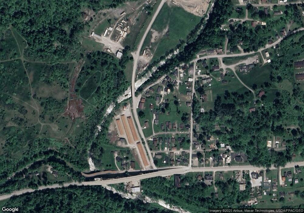
Map
Nearby Homes
- 53679 Quimby Ave
- 67867 Crosley Rd
- 0 Poplar Dr Unit 4491238
- 0 Maple Dr Unit T9516724
- 68960 Pine Terrace Rd
- 54980 Maple Ave
- 69657 Chermont Rd
- 55273 Poplar Ave
- 68511 Liston Ave
- 68000 Walnut St
- 55480 National Rd
- 55490 National Rd
- 67330 Ebbert Rd S Unit 9
- 51945 William Ln
- 55500 National Rd
- 55560 Poplar Ave
- 65893 McGregor Hill Rd
- 51235 Burwood Dr
- 70571 Pine Hollow Rd
- 50905 National Rd E
- 68025 Blaine Chermont Rd
- 53636 Barton Rd
- 68064 Jo-Al Dr
- 68035 Blaine Chermont Rd
- 53701 Blaine Barton Rd
- 68041 Blaine Chermont Rd
- 53665 Quimby Ave
- 68049 Jo-Al Dr
- 68089 Jo-Al Dr
- 53703 Quimby Ave
- 68047 Blaine Chermont Rd
- 68061 Blaine Chermont Rd
- 53719 Quimby Ave
- 68058 Handel St
- 68095 Blaine Chermont Rd
- 0 Blaine Chermont Rd
- 53660 Quimby Ave
- 53690 Quimby Ave
- 53710 Quimby Ave
- 53710 Quimby Ave