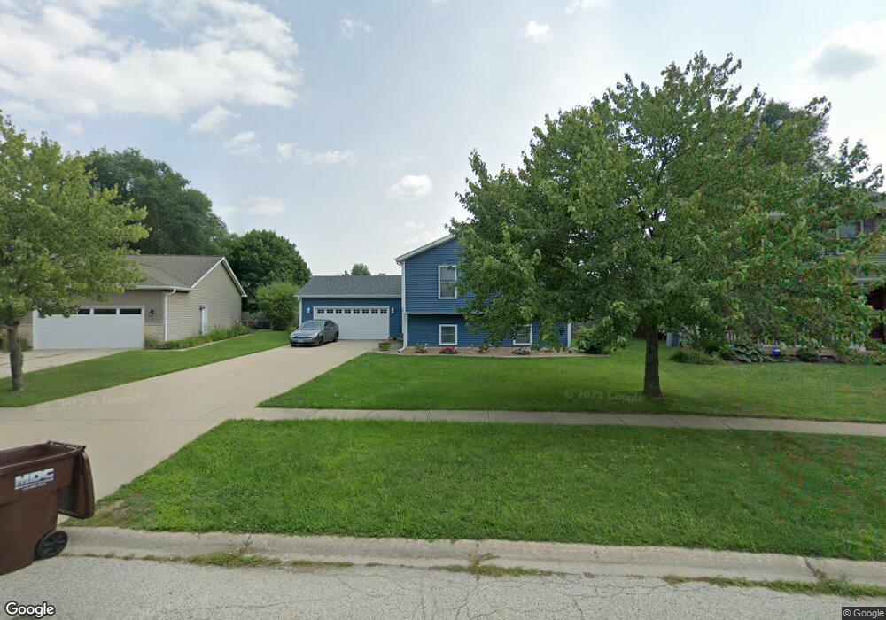
537 7th Cir Marengo, IL 60152
Estimated Value: $227,094 - $322,000
--
Bed
--
Bath
--
Sq Ft
9,714
Sq Ft Lot
About This Home
This home is located at 537 7th Cir, Marengo, IL 60152 and is currently estimated at $279,774. 537 7th Cir is a home located in McHenry County with nearby schools including Locust Elementary School, Marengo Community Middle School, and Marengo Community High School.
Ownership History
Date
Name
Owned For
Owner Type
Purchase Details
Closed on
Mar 6, 2020
Sold by
Dierkes Norman E and Dierkes Shirley A
Bought by
Reher Jason L and Reher Jennier E
Current Estimated Value
Home Financials for this Owner
Home Financials are based on the most recent Mortgage that was taken out on this home.
Original Mortgage
$203,500
Outstanding Balance
$180,636
Interest Rate
3.62%
Mortgage Type
FHA
Estimated Equity
$99,138
Purchase Details
Closed on
Sep 14, 2001
Sold by
Midwest Bank & Trust Company
Bought by
Dierkes Norman F and Dierkes Shirley A
Home Financials for this Owner
Home Financials are based on the most recent Mortgage that was taken out on this home.
Original Mortgage
$140,000
Interest Rate
7.03%
Create a Home Valuation Report for This Property
The Home Valuation Report is an in-depth analysis detailing your home's value as well as a comparison with similar homes in the area
Home Values in the Area
Average Home Value in this Area
Purchase History
| Date | Buyer | Sale Price | Title Company |
|---|---|---|---|
| Reher Jason L | $220,000 | Nlt Title Llc | |
| Dierkes Norman F | $164,905 | Universal Title Services Inc |
Source: Public Records
Mortgage History
| Date | Status | Borrower | Loan Amount |
|---|---|---|---|
| Open | Reher Jason L | $203,500 | |
| Previous Owner | Dierkes Norman F | $140,000 |
Source: Public Records
Tax History Compared to Growth
Tax History
| Year | Tax Paid | Tax Assessment Tax Assessment Total Assessment is a certain percentage of the fair market value that is determined by local assessors to be the total taxable value of land and additions on the property. | Land | Improvement |
|---|---|---|---|---|
| 2024 | $4,308 | $64,772 | $16,349 | $48,423 |
| 2023 | $4,152 | $57,098 | $14,412 | $42,686 |
| 2022 | $4,094 | $51,635 | $13,033 | $38,602 |
| 2021 | $3,782 | $47,048 | $11,875 | $35,173 |
| 2020 | $3,226 | $44,774 | $11,301 | $33,473 |
| 2019 | $2,796 | $42,424 | $10,708 | $31,716 |
| 2018 | $2,796 | $39,738 | $10,030 | $29,708 |
| 2017 | $788 | $20,204 | $9,501 | $10,703 |
| 2016 | $2,525 | $35,170 | $8,877 | $26,293 |
| 2013 | -- | $34,409 | $8,685 | $25,724 |
Source: Public Records
Map
Nearby Homes
- 1101 N State St
- 830 N Taylor St
- 854 Walnut Ct
- 860 Woodland Ct
- 906 N State St
- 790 Cascade Dr
- 819 Whitetail Dr
- 817 Whitetail Dr
- 212 E Van Buren St
- 900 Partridge Cir
- The Williamsburg Plan at Deerpass Estates
- The Charlotte Plan at Deerpass Estates
- The Remington Plan at Deerpass Estates
- 115 Jackson St
- NW Corner Rt 176 and Deerpass Rd
- 0 Deerpass Rd
- 4.71 AC W Grant Hwy
- 00 Maple St
- 21820 W Railroad St
- 422 Damen St