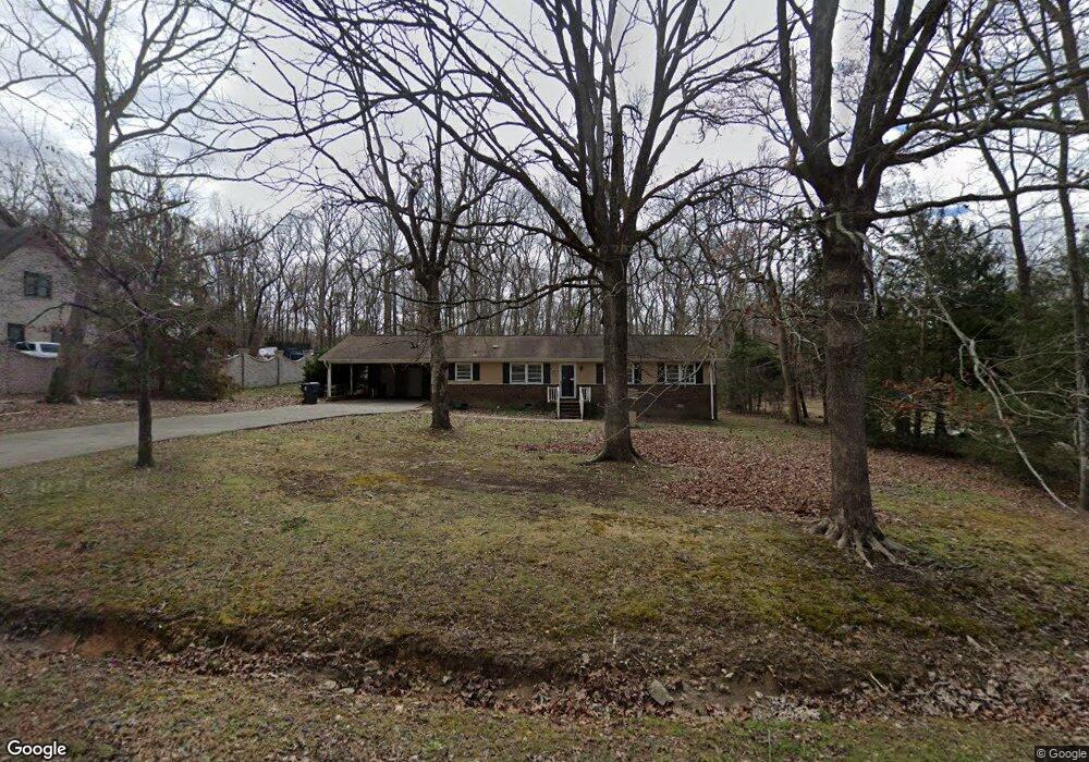
537 Andover Rd Durham, NC 27712
North Durham NeighborhoodEstimated Value: $307,923 - $367,000
3
Beds
2
Baths
1,595
Sq Ft
$205/Sq Ft
Est. Value
About This Home
This home is located at 537 Andover Rd, Durham, NC 27712 and is currently estimated at $326,981, approximately $205 per square foot. 537 Andover Rd is a home located in Durham County with nearby schools including Mangum Elementary School, Lucas Middle School, and Northern High School.
Ownership History
Date
Name
Owned For
Owner Type
Purchase Details
Closed on
Aug 6, 2018
Sold by
Soles Richard L and Soles Julie H
Bought by
Soles Michael W
Current Estimated Value
Home Financials for this Owner
Home Financials are based on the most recent Mortgage that was taken out on this home.
Original Mortgage
$19,850
Outstanding Balance
$17,239
Interest Rate
4.5%
Mortgage Type
Purchase Money Mortgage
Estimated Equity
$309,742
Purchase Details
Closed on
Dec 20, 2001
Sold by
Kidd Margaret C
Bought by
Soles Michael W and Soles Richard L
Create a Home Valuation Report for This Property
The Home Valuation Report is an in-depth analysis detailing your home's value as well as a comparison with similar homes in the area
Home Values in the Area
Average Home Value in this Area
Purchase History
| Date | Buyer | Sale Price | Title Company |
|---|---|---|---|
| Soles Michael W | $75,000 | None Available | |
| Soles Michael W | -- | -- |
Source: Public Records
Mortgage History
| Date | Status | Borrower | Loan Amount |
|---|---|---|---|
| Open | Soles Michael W | $19,850 |
Source: Public Records
Tax History
| Year | Tax Paid | Tax Assessment Tax Assessment Total Assessment is a certain percentage of the fair market value that is determined by local assessors to be the total taxable value of land and additions on the property. | Land | Improvement |
|---|---|---|---|---|
| 2025 | $2,108 | $283,349 | $89,300 | $194,049 |
| 2024 | $1,871 | $175,513 | $32,865 | $142,648 |
| 2023 | $1,773 | $175,513 | $32,865 | $142,648 |
| 2022 | $1,700 | $175,513 | $32,865 | $142,648 |
| 2021 | $1,487 | $175,513 | $32,865 | $142,648 |
| 2020 | $1,456 | $175,513 | $32,865 | $142,648 |
| 2019 | $1,456 | $175,513 | $32,865 | $142,648 |
| 2018 | $1,155 | $129,226 | $33,804 | $95,422 |
| 2017 | $1,142 | $129,226 | $33,804 | $95,422 |
| 2016 | $1,093 | $129,226 | $33,804 | $95,422 |
| 2015 | $1,514 | $152,829 | $38,713 | $114,116 |
| 2014 | $1,514 | $152,829 | $38,713 | $114,116 |
Source: Public Records
Map
Nearby Homes
- 512 W Bywood Dr
- 707 Donlee Dr
- 816 Running Cedar Trail
- 5805 Prioress Dr
- 5809 Prioress Dr
- 5801 Prioress Dr
- 6014 Guess Rd
- 206 Epperson Dr
- 5929 Guess Rd
- 6423 Whitt Rd
- 600 Birchrun Dr
- 6044 Scalybark Rd
- 155 Smith Dr
- 145 Lin Tilley Rd
- 6517 Pondview Ln
- 310 Mickey Cir
- 5620 Birch Dr
- 309 Smith Dr
- 5857 Genesee Dr
- 5820 Genesee Dr
- 531 Andover Rd
- 531 Andover Rd Unit 8
- 527 Andover Rd
- 527 Andover Rd Unit 9
- 1612 Milton Rd
- 1606 Milton Rd
- 536 Andover Rd
- 530 Andover Rd
- 519 Andover Rd
- 526 Andover Rd
- 1700 Milton Rd
- 611 Donlee Dr
- 522 Andover Rd
- 515 Andover Rd
- 1607 Milton Rd
- 1611 Milton Rd
- 1603 Milton Rd
- 1520 Milton Rd
- 518 Andover Rd
- 511 Andover Rd
Your Personal Tour Guide
Ask me questions while you tour the home.