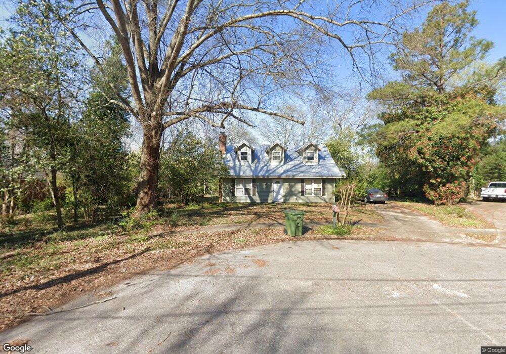
537 Lynnhurst Ct Montgomery, AL 36117
East Montgomery NeighborhoodEstimated Value: $141,000 - $196,000
--
Bed
--
Bath
1,508
Sq Ft
$108/Sq Ft
Est. Value
About This Home
This home is located at 537 Lynnhurst Ct, Montgomery, AL 36117 and is currently estimated at $162,491, approximately $107 per square foot. 537 Lynnhurst Ct is a home located in Montgomery County with nearby schools including Wares Ferry Road Elementary School, Goodwyn Middle School, and Dr. Percy L. Julian High School.
Ownership History
Date
Name
Owned For
Owner Type
Purchase Details
Closed on
Jan 24, 2019
Sold by
Lorren Katherine A and Ainsworth Katherine A
Bought by
Ainsworth Byan K
Current Estimated Value
Home Financials for this Owner
Home Financials are based on the most recent Mortgage that was taken out on this home.
Original Mortgage
$44,250
Outstanding Balance
$28,185
Interest Rate
4.5%
Mortgage Type
New Conventional
Estimated Equity
$134,306
Purchase Details
Closed on
Sep 29, 2000
Sold by
Mcgaughey Glenn Willard and Sandy Karen
Bought by
Ainsworth Katherine A
Home Financials for this Owner
Home Financials are based on the most recent Mortgage that was taken out on this home.
Original Mortgage
$83,206
Interest Rate
7.97%
Mortgage Type
FHA
Create a Home Valuation Report for This Property
The Home Valuation Report is an in-depth analysis detailing your home's value as well as a comparison with similar homes in the area
Home Values in the Area
Average Home Value in this Area
Purchase History
| Date | Buyer | Sale Price | Title Company |
|---|---|---|---|
| Ainsworth Byan K | $39,500 | None Available | |
| Ainsworth Katherine A | $83,706 | -- |
Source: Public Records
Mortgage History
| Date | Status | Borrower | Loan Amount |
|---|---|---|---|
| Open | Ainsworth Byan K | $44,250 | |
| Previous Owner | Ainsworth Katherine A | $83,206 |
Source: Public Records
Tax History Compared to Growth
Tax History
| Year | Tax Paid | Tax Assessment Tax Assessment Total Assessment is a certain percentage of the fair market value that is determined by local assessors to be the total taxable value of land and additions on the property. | Land | Improvement |
|---|---|---|---|---|
| 2024 | $1,366 | $14,000 | $1,500 | $12,500 |
| 2023 | $1,366 | $13,380 | $1,500 | $11,880 |
| 2022 | $782 | $10,710 | $1,500 | $9,210 |
| 2021 | $698 | $19,120 | $3,000 | $16,120 |
| 2020 | $698 | $9,560 | $1,500 | $8,060 |
| 2019 | $604 | $8,280 | $1,500 | $6,780 |
| 2018 | $572 | $7,830 | $1,500 | $6,330 |
| 2017 | $526 | $14,400 | $3,000 | $11,400 |
| 2014 | $556 | $7,620 | $1,500 | $6,120 |
| 2013 | -- | $8,500 | $1,500 | $7,000 |
Source: Public Records
Map
Nearby Homes
- 532 Lynnhurst Ct
- 576 Dunbarton Rd
- 0 Wares Ferry Rd
- 5743 Belleau Dr
- 5737 Darien Dr
- 0000 N Burbank Dr
- 749 Amity Ln
- 767 N Burbank Dr
- 709 Balfour Rd
- 310 Kroy Dr
- 5821 Hyde Park Dr
- 5922 Havenwood Dr
- 6037 Burbank Crossing Loop
- 6119 Hinchcliff Rd
- 6201 Dalford Dr
- 452 Planters Rd
- 6228 Hinchcliff Rd
- 612 Planters Ct
- 6204 Lycoming Rd
- 6241 Wares Ferry Rd
- 533 Lynnhurst Ct
- 541 Lynnhurst Ct
- 529 Lynnhurst Ct
- 540 Lynnhurst Ct
- 536 Lynnhurst Ct
- 525 Lynnhurst Ct
- 561 Dunbarton Rd
- 5663 Lynnhurst Ln
- 5667 Lynnhurst Ln
- 533 Dunbarton Rd
- 521 Lynnhurst Ct
- 5671 Lynnhurst Ln
- 569 Dunbarton Rd
- 517 Lynnhurst Ct
- 529 Dunbarton Rd
- 512 Lynnhurst Ct
- 573 Dunbarton Rd
- 5668 Lynnhurst Ln
- 560 Dunbarton Ct
- 513 Lynnhurst Ct