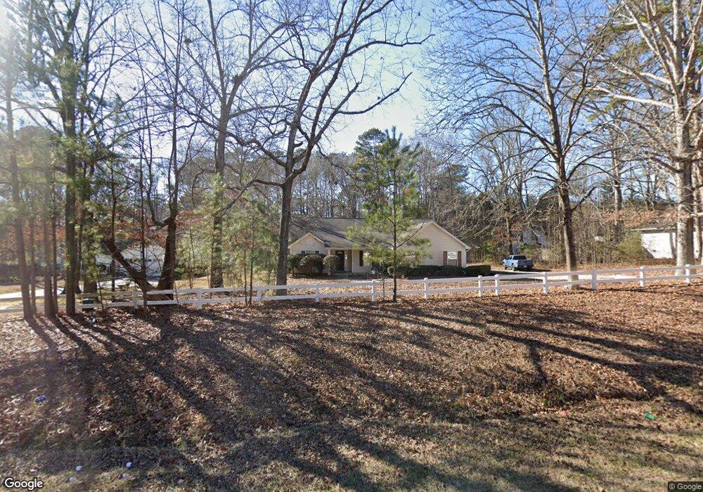
537 Mars Hill Rd Powder Springs, GA 30127
West Cobb NeighborhoodEstimated Value: $436,331 - $571,000
3
Beds
2
Baths
2,676
Sq Ft
$184/Sq Ft
Est. Value
About This Home
This home is located at 537 Mars Hill Rd, Powder Springs, GA 30127 and is currently estimated at $493,583, approximately $184 per square foot. 537 Mars Hill Rd is a home located in Cobb County with nearby schools including Vaughan Elementary School, Lost Mountain Middle School, and Harrison High School.
Ownership History
Date
Name
Owned For
Owner Type
Purchase Details
Closed on
Mar 2, 2004
Sold by
Mortgage Electronic Registration
Bought by
Secretary Of Hud
Current Estimated Value
Purchase Details
Closed on
Mar 28, 2001
Sold by
Robert Harris Homes Inc
Bought by
Mccoy Jason L
Home Financials for this Owner
Home Financials are based on the most recent Mortgage that was taken out on this home.
Original Mortgage
$141,676
Interest Rate
6.95%
Mortgage Type
FHA
Create a Home Valuation Report for This Property
The Home Valuation Report is an in-depth analysis detailing your home's value as well as a comparison with similar homes in the area
Home Values in the Area
Average Home Value in this Area
Purchase History
| Date | Buyer | Sale Price | Title Company |
|---|---|---|---|
| Secretary Of Hud | -- | -- | |
| Mortgage Electronic Registration | $159,917 | -- | |
| Mccoy Jason L | $143,900 | -- |
Source: Public Records
Mortgage History
| Date | Status | Borrower | Loan Amount |
|---|---|---|---|
| Previous Owner | Mccoy Jason L | $141,676 |
Source: Public Records
Tax History Compared to Growth
Tax History
| Year | Tax Paid | Tax Assessment Tax Assessment Total Assessment is a certain percentage of the fair market value that is determined by local assessors to be the total taxable value of land and additions on the property. | Land | Improvement |
|---|---|---|---|---|
| 2025 | $3,871 | $128,464 | $35,412 | $93,052 |
| 2024 | $3,873 | $128,464 | $35,412 | $93,052 |
| 2023 | $3,333 | $110,556 | $33,012 | $77,544 |
| 2022 | $2,826 | $93,116 | $26,408 | $66,708 |
| 2021 | $2,826 | $93,116 | $26,408 | $66,708 |
| 2020 | $2,377 | $78,312 | $21,608 | $56,704 |
| 2019 | $2,377 | $78,312 | $21,608 | $56,704 |
| 2018 | $2,192 | $72,212 | $19,808 | $52,404 |
| 2017 | $2,076 | $72,212 | $19,808 | $52,404 |
| 2016 | $1,955 | $68,008 | $15,604 | $52,404 |
| 2015 | $1,822 | $61,860 | $15,004 | $46,856 |
| 2014 | $1,838 | $61,860 | $0 | $0 |
Source: Public Records
Map
Nearby Homes
- 265 Holland Rd
- 632 Owl Creek Dr
- 718 1st Cotton Dr
- 403 Wild Iris Ln Unit 6
- 390 Scott Farm Dr
- The Sadie Plan at Livingstone Park
- The Carie Plan at Livingstone Park
- The Cameron Plan at Livingstone Park
- The Melissa Plan at Livingstone Park
- The Whitney Plan at Livingstone Park
- 776 Amos Ln
- 725 Holland Rd
- 826 Omaha Place
- 5567 Forest Edge Ln NW
- 154 Gold Leaf Trail
- 5900 Pavillion Dr
- 5585 Lavender Farms Rd
- 870 Fairwood Pointe NW
- 533 Mars Hill Rd
- 541 Mars Hill Rd
- 531 Mars Hill Rd
- 499 Holland Rd
- 5551 Wood Vale Ct
- 511 Holland Rd
- 5550 Wood Vale Ct
- 5553 Wood Vale Ct
- 523 Holland Rd
- 529 Mars Hill Rd
- 535 Holland Rd
- 0 Wood Vale Ct Unit 7238373
- 0 Wood Vale Ct Unit 7367608
- 0 Wood Vale Ct
- 5552 Wood Vale Ct
- 510 Mars Hill Rd
- 506 Mars Hill Rd
- 547 Holland Rd
- 5554 Wood Vale Ct
- 502 Mars Hill Rd