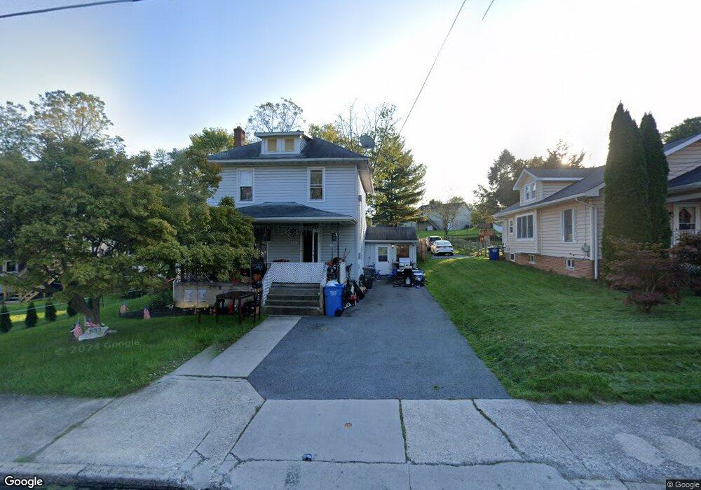
537 S Queen St Littlestown, PA 17340
Estimated Value: $254,000 - $272,000
3
Beds
2
Baths
1,998
Sq Ft
$133/Sq Ft
Est. Value
About This Home
This home is located at 537 S Queen St, Littlestown, PA 17340 and is currently estimated at $265,225, approximately $132 per square foot. 537 S Queen St is a home located in Adams County with nearby schools including Rolling Acres El School, Maple Avenue Middle School, and Littlestown Senior High School.
Ownership History
Date
Name
Owned For
Owner Type
Purchase Details
Closed on
Mar 31, 2009
Sold by
Eline James J and Eline James J
Bought by
Brumgard Randty A
Current Estimated Value
Home Financials for this Owner
Home Financials are based on the most recent Mortgage that was taken out on this home.
Original Mortgage
$124,000
Outstanding Balance
$78,724
Interest Rate
5.02%
Mortgage Type
Purchase Money Mortgage
Estimated Equity
$186,501
Create a Home Valuation Report for This Property
The Home Valuation Report is an in-depth analysis detailing your home's value as well as a comparison with similar homes in the area
Home Values in the Area
Average Home Value in this Area
Purchase History
| Date | Buyer | Sale Price | Title Company |
|---|---|---|---|
| Brumgard Randty A | $155,000 | -- |
Source: Public Records
Mortgage History
| Date | Status | Borrower | Loan Amount |
|---|---|---|---|
| Open | Brumgard Randty A | $124,000 |
Source: Public Records
Tax History Compared to Growth
Tax History
| Year | Tax Paid | Tax Assessment Tax Assessment Total Assessment is a certain percentage of the fair market value that is determined by local assessors to be the total taxable value of land and additions on the property. | Land | Improvement |
|---|---|---|---|---|
| 2025 | $3,894 | $169,400 | $44,200 | $125,200 |
| 2024 | $3,753 | $169,400 | $44,200 | $125,200 |
| 2023 | $3,607 | $169,400 | $44,200 | $125,200 |
| 2022 | $3,585 | $169,400 | $44,200 | $125,200 |
| 2021 | $3,479 | $169,400 | $44,200 | $125,200 |
| 2020 | $3,438 | $169,400 | $44,200 | $125,200 |
| 2019 | $3,335 | $169,400 | $44,200 | $125,200 |
| 2018 | $3,274 | $169,400 | $44,200 | $125,200 |
| 2017 | $3,190 | $169,400 | $44,200 | $125,200 |
| 2016 | -- | $169,400 | $44,200 | $125,200 |
| 2015 | -- | $169,400 | $44,200 | $125,200 |
| 2014 | -- | $169,400 | $44,200 | $125,200 |
Source: Public Records
Map
Nearby Homes
- 117 Charles St
- 115 Charles St
- 61 E King St
- 211 E King St
- 129 W King St
- 15 Yorktowne Ct Unit 97
- 22 Rita Marie Ave
- 535 Lumber St
- 559 Lumber St
- 567 Lumber St
- 449 Glenwyn Dr
- 140 Apple Grove Ln Unit 425
- 41 Smith Cir
- 52 Stayman Way Unit 81
- 135 Apple Grove Ln Unit 438
- 5 Manor Cir Unit 103
- 162 Newark St
- 440 N Queen St
- 161 Stoners Cir
- 1024 Frederick Pike Unit 6
- 32 Colonial Ct Unit 26
- 521 S Queen St
- 542 S Queen St
- 26 Colonial Ct Unit 25
- 515 S Queen St Unit 2nd Floor
- 515 S Queen St
- 530 S Queen St
- 538 S Queen St
- 35 Colonial Ct
- 20 Colonial Ct Unit 24
- 524 S Queen St
- 544 S Queen St
- 546 S Queen St
- 512 S Queen St
- 520 S Queen St
- 14 Colonial Ct Unit 23
- 550 S Queen St
- 556 S Queen St
- 503 S Queen St
- 33 Colonial Ct Unit 28