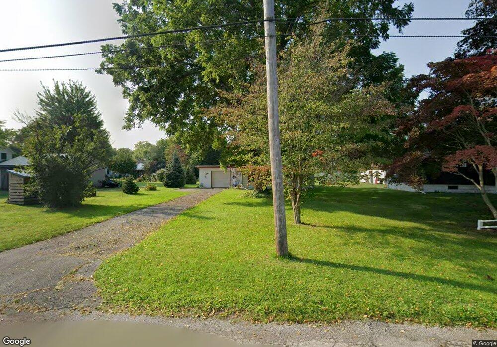
537 Smith St Conneaut, OH 44030
Estimated Value: $105,384 - $131,000
2
Beds
1
Bath
842
Sq Ft
$139/Sq Ft
Est. Value
About This Home
This home is located at 537 Smith St, Conneaut, OH 44030 and is currently estimated at $117,346, approximately $139 per square foot. 537 Smith St is a home located in Ashtabula County with nearby schools including Lakeshore Primary Elementary School, Gateway Elementary School, and Conneaut Middle School.
Ownership History
Date
Name
Owned For
Owner Type
Purchase Details
Closed on
Jan 10, 2011
Sold by
Potts Kenneth J and Vendetti Potts Becky
Bought by
Sherry James J and Sherry Susan F
Current Estimated Value
Home Financials for this Owner
Home Financials are based on the most recent Mortgage that was taken out on this home.
Original Mortgage
$45,838
Outstanding Balance
$31,206
Interest Rate
4.75%
Mortgage Type
FHA
Estimated Equity
$86,140
Purchase Details
Closed on
Apr 15, 2005
Sold by
Mucci James A and Mucci Patricia A
Bought by
Potts Kenneth
Home Financials for this Owner
Home Financials are based on the most recent Mortgage that was taken out on this home.
Original Mortgage
$45,000
Interest Rate
6.06%
Mortgage Type
Fannie Mae Freddie Mac
Purchase Details
Closed on
Jan 22, 1996
Sold by
Mundi Ruby P
Bought by
Mucci James A and Mucci Patricia A
Create a Home Valuation Report for This Property
The Home Valuation Report is an in-depth analysis detailing your home's value as well as a comparison with similar homes in the area
Home Values in the Area
Average Home Value in this Area
Purchase History
| Date | Buyer | Sale Price | Title Company |
|---|---|---|---|
| Sherry James J | $53,000 | Buckeye Title | |
| Potts Kenneth | $50,000 | -- | |
| Mucci James A | $29,000 | -- |
Source: Public Records
Mortgage History
| Date | Status | Borrower | Loan Amount |
|---|---|---|---|
| Open | Sherry James J | $45,838 | |
| Previous Owner | Potts Kenneth | $45,000 |
Source: Public Records
Tax History
| Year | Tax Paid | Tax Assessment Tax Assessment Total Assessment is a certain percentage of the fair market value that is determined by local assessors to be the total taxable value of land and additions on the property. | Land | Improvement |
|---|---|---|---|---|
| 2024 | $1,447 | $19,780 | $4,900 | $14,880 |
| 2023 | $923 | $19,780 | $4,900 | $14,880 |
| 2022 | $808 | $15,230 | $3,780 | $11,450 |
| 2021 | $822 | $15,230 | $3,780 | $11,450 |
| 2020 | $822 | $15,230 | $3,780 | $11,450 |
| 2019 | $587 | $10,640 | $2,170 | $8,470 |
| 2018 | $560 | $10,640 | $2,170 | $8,470 |
| 2017 | $559 | $10,640 | $2,170 | $8,470 |
| 2016 | $598 | $12,470 | $2,560 | $9,910 |
| 2015 | $604 | $12,470 | $2,560 | $9,910 |
| 2014 | $532 | $12,470 | $2,560 | $9,910 |
| 2013 | $637 | $15,370 | $3,190 | $12,180 |
Source: Public Records
Map
Nearby Homes
Your Personal Tour Guide
Ask me questions while you tour the home.