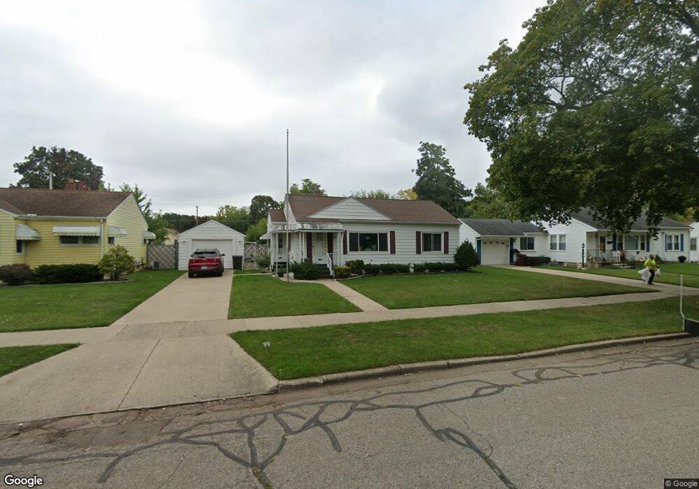
537 Sparks St Jackson, MI 49202
Lansing Avenue Heights NeighborhoodEstimated Value: $120,000 - $144,000
2
Beds
1
Bath
984
Sq Ft
$132/Sq Ft
Est. Value
About This Home
This home is located at 537 Sparks St, Jackson, MI 49202 and is currently estimated at $130,291, approximately $132 per square foot. 537 Sparks St is a home located in Jackson County with nearby schools including Hunt Elementary School, Middle School at Parkside, and Jackson High School.
Ownership History
Date
Name
Owned For
Owner Type
Purchase Details
Closed on
Aug 6, 2004
Sold by
Bivins Johan A
Bought by
Sutfin Jennifer L
Current Estimated Value
Home Financials for this Owner
Home Financials are based on the most recent Mortgage that was taken out on this home.
Original Mortgage
$81,900
Outstanding Balance
$41,553
Interest Rate
6.35%
Mortgage Type
Purchase Money Mortgage
Estimated Equity
$88,738
Create a Home Valuation Report for This Property
The Home Valuation Report is an in-depth analysis detailing your home's value as well as a comparison with similar homes in the area
Home Values in the Area
Average Home Value in this Area
Purchase History
| Date | Buyer | Sale Price | Title Company |
|---|---|---|---|
| Sutfin Jennifer L | $109,900 | At |
Source: Public Records
Mortgage History
| Date | Status | Borrower | Loan Amount |
|---|---|---|---|
| Open | Sutfin Jennifer L | $81,900 |
Source: Public Records
Tax History Compared to Growth
Tax History
| Year | Tax Paid | Tax Assessment Tax Assessment Total Assessment is a certain percentage of the fair market value that is determined by local assessors to be the total taxable value of land and additions on the property. | Land | Improvement |
|---|---|---|---|---|
| 2025 | $1,988 | $56,600 | $0 | $0 |
| 2024 | $1,623 | $54,700 | $0 | $0 |
| 2023 | $1,562 | $45,200 | $0 | $0 |
| 2022 | $1,822 | $46,100 | $0 | $0 |
| 2021 | $1,817 | $40,050 | $0 | $0 |
| 2020 | $1,799 | $36,950 | $0 | $0 |
| 2019 | $1,745 | $34,750 | $0 | $0 |
| 2018 | $1,647 | $32,700 | $0 | $0 |
| 2017 | $1,573 | $34,200 | $0 | $0 |
| 2016 | $1,340 | $38,300 | $38,300 | $0 |
| 2015 | $1,557 | $35,500 | $35,500 | $0 |
| 2014 | $1,557 | $35,500 | $35,500 | $0 |
| 2013 | -- | $35,500 | $35,500 | $0 |
Source: Public Records
Map
Nearby Homes
- 550 Royal Dr
- 636 Madison St
- 737 Royal Dr
- 1105 Clinton Rd
- 951 W Monroe St St
- 1104 N Blackstone St
- 1015 N Blackstone St
- 910 Backus St
- 902 Backus St
- 828 Backus St
- 1126 Walker St
- 836 Lincoln St
- 819 N West Ave
- 0 Shirley Dr Unit 24064060
- 0 Brookley Ave
- 623 Steward Ave
- 1115 Cooper St
- 804 Hibbard Ave
- 821 N Wisner St
- 613 Backus St
- 533 Sparks St
- 545 Sparks St
- 529 Sparks St
- 549 Sparks St
- 524 Saint Clair Ave
- 525 Sparks St
- 522 Saint Clair Ave
- 524 St Clair
- 528 Saint Clair Ave
- 520 Saint Clair Ave
- 530 Saint Clair Ave
- 538 Sparks St
- 532 Sparks St
- 555 Sparks St
- 544 Sparks St
- 518 Saint Clair Ave
- 534 Saint Clair Ave
- 521 Sparks St
- 548 Sparks St
- 524 Sparks St