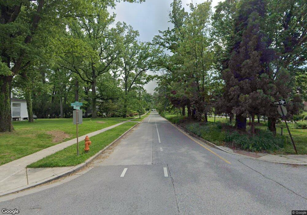
537 Woodside Rd Baltimore, MD 21229
Estimated Value: $338,178 - $378,000
--
Bed
2
Baths
1,341
Sq Ft
$266/Sq Ft
Est. Value
About This Home
This home is located at 537 Woodside Rd, Baltimore, MD 21229 and is currently estimated at $357,295, approximately $266 per square foot. 537 Woodside Rd is a home located in Baltimore County with nearby schools including Bedford Elementary, Pikesville Middle School, and Milford Mill Academy.
Ownership History
Date
Name
Owned For
Owner Type
Purchase Details
Closed on
Apr 30, 2015
Sold by
Stup Donald F
Bought by
Johnson Shomar L
Current Estimated Value
Home Financials for this Owner
Home Financials are based on the most recent Mortgage that was taken out on this home.
Original Mortgage
$5,000
Outstanding Balance
$3,853
Interest Rate
3.69%
Mortgage Type
Future Advance Clause Open End Mortgage
Estimated Equity
$353,442
Purchase Details
Closed on
Dec 12, 2003
Sold by
Reed Ellen V
Bought by
Stup Madaline M and Stup Donald F
Create a Home Valuation Report for This Property
The Home Valuation Report is an in-depth analysis detailing your home's value as well as a comparison with similar homes in the area
Home Values in the Area
Average Home Value in this Area
Purchase History
| Date | Buyer | Sale Price | Title Company |
|---|---|---|---|
| Johnson Shomar L | $179,900 | King Title Company Inc | |
| Stup Madaline M | $135,000 | -- |
Source: Public Records
Mortgage History
| Date | Status | Borrower | Loan Amount |
|---|---|---|---|
| Open | Johnson Shomar L | $5,000 | |
| Open | Johnson Shomar L | $176,641 | |
| Closed | Johnson Shomar L | $5,000 |
Source: Public Records
Tax History Compared to Growth
Tax History
| Year | Tax Paid | Tax Assessment Tax Assessment Total Assessment is a certain percentage of the fair market value that is determined by local assessors to be the total taxable value of land and additions on the property. | Land | Improvement |
|---|---|---|---|---|
| 2025 | $3,571 | $235,700 | $60,100 | $175,600 |
| 2024 | $3,571 | $223,700 | $0 | $0 |
| 2023 | $1,710 | $211,700 | $0 | $0 |
| 2022 | $2,249 | $199,700 | $60,100 | $139,600 |
| 2021 | $2,764 | $193,133 | $0 | $0 |
| 2020 | $2,261 | $186,567 | $0 | $0 |
| 2019 | $2,182 | $180,000 | $60,100 | $119,900 |
| 2018 | $2,676 | $171,733 | $0 | $0 |
| 2017 | $2,398 | $163,467 | $0 | $0 |
| 2016 | $2,126 | $155,200 | $0 | $0 |
| 2015 | $2,126 | $155,200 | $0 | $0 |
| 2014 | $2,126 | $155,200 | $0 | $0 |
Source: Public Records
Map
Nearby Homes
- 503 Nassau St
- 611 Cliveden Rd
- 306 Upland Rd
- 702 Westover Rd
- 611 Cylburn Rd
- 725 Milford Mill Rd
- 605 Upland Rd
- 799 Milford Mill Rd
- 4124 Bedford Rd
- 130 Slade Ave Unit 511
- 130 Slade Ave Unit 208
- 130 Slade Ave Unit 201
- 130 Slade Ave Unit 411
- 4348 Danlou Dr
- 4209 Lowell Dr
- 7023 Concord Rd
- 616 Sudbrook Rd
- 121 Brightside Ave
- 4115 Old Milford Mill Rd
- 913 Adana Rd
- 537 Woodside Rd
- 535 Woodside Rd
- 539 Woodside Rd
- 539 Woodside Rd
- 417 Milford Mill Rd
- 530 Alter Ave
- 541 Woodside Rd
- 528 Alter Ave
- 532 Alter Ave
- 540 Woodside Rd
- 419 Milford Mill Rd
- 415 Milford Mill Rd
- 534 Alter Ave
- 421 Milford Mill Rd
- 542 Woodside Rd
- 413 Milford Mill Rd
- 603 Kahn Dr
- 544 Woodside Rd
- 411 Milford Mill Rd
- 529 Alter Ave
