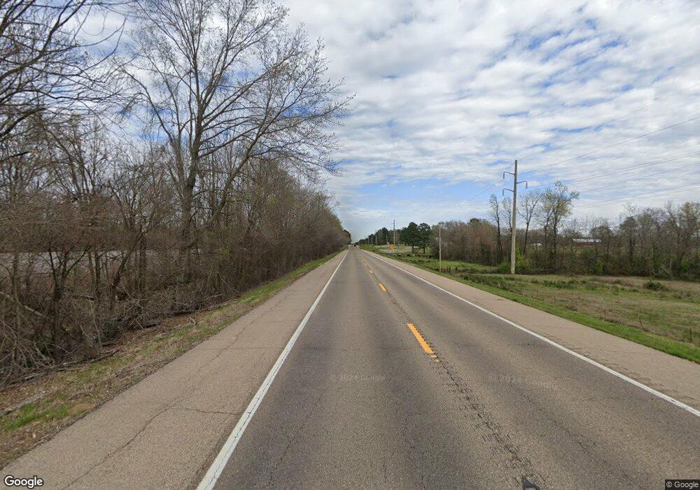
5370 Highway 67 W Fulton, AR 71838
--
Bed
2
Baths
2,100
Sq Ft
0.4
Acres
About This Home
This home is located at 5370 Highway 67 W, Fulton, AR 71838. 5370 Highway 67 W is a home located in Hempstead County with nearby schools including W.J. Clinton Primary School, Creative Action Team School, and Hope Academy.
Ownership History
Date
Name
Owned For
Owner Type
Purchase Details
Closed on
Oct 22, 2024
Sold by
By Sophal and By Sitho
Bought by
Bryson Investment Holdings Llc
Home Financials for this Owner
Home Financials are based on the most recent Mortgage that was taken out on this home.
Original Mortgage
$1,000,000
Interest Rate
6.69%
Mortgage Type
New Conventional
Purchase Details
Closed on
Jun 30, 2020
Sold by
Mam Sambour and Mam Phea
Bought by
By Sitho
Home Financials for this Owner
Home Financials are based on the most recent Mortgage that was taken out on this home.
Original Mortgage
$315,000
Interest Rate
3.1%
Mortgage Type
Purchase Money Mortgage
Purchase Details
Closed on
Jan 1, 1989
Bought by
Green James M
Create a Home Valuation Report for This Property
The Home Valuation Report is an in-depth analysis detailing your home's value as well as a comparison with similar homes in the area
Home Values in the Area
Average Home Value in this Area
Purchase History
| Date | Buyer | Sale Price | Title Company |
|---|---|---|---|
| Bryson Investment Holdings Llc | -- | Southwest Title Company | |
| Bryson Investment Holdings Llc | -- | Southwest Title Company | |
| By Sitho | $420,000 | None Available | |
| Green James M | -- | -- |
Source: Public Records
Mortgage History
| Date | Status | Borrower | Loan Amount |
|---|---|---|---|
| Previous Owner | Bryson Investment Holdings Llc | $1,000,000 | |
| Previous Owner | By Sitho | $315,000 |
Source: Public Records
Tax History Compared to Growth
Tax History
| Year | Tax Paid | Tax Assessment Tax Assessment Total Assessment is a certain percentage of the fair market value that is determined by local assessors to be the total taxable value of land and additions on the property. | Land | Improvement |
|---|---|---|---|---|
| 2024 | $1,230 | $21,660 | $720 | $20,940 |
| 2023 | $1,016 | $21,660 | $720 | $20,940 |
| 2022 | $1,191 | $21,660 | $720 | $20,940 |
| 2021 | $1,191 | $21,660 | $720 | $20,940 |
| 2020 | $1,198 | $21,780 | $720 | $21,060 |
| 2019 | $1,198 | $21,780 | $720 | $21,060 |
| 2018 | $1,178 | $21,780 | $720 | $21,060 |
| 2017 | $991 | $21,780 | $720 | $21,060 |
| 2016 | $1,167 | $21,780 | $720 | $21,060 |
| 2015 | $944 | $20,790 | $720 | $20,070 |
| 2014 | $554 | $12,340 | $340 | $12,000 |
Source: Public Records
Map
Nearby Homes
- 0 Highway 355 S
- TBD Us-67
- 0 Hempstead 49
- Tbd Little River 70
- TBD Private Rd
- 4407 & 4409 Hempstead 2
- 1408 Spring Lake Rd
- 686 Miller County 379
- TBD Little River 70
- 0 Hempstead 1042 Rd
- 0 Hempstead 11 Rd
- 1130 Lr 35
- 1131 Lr 35
- 270 Southlake Rd
- 0 Highway 355 S
- 141 Lakeshore Rd
- 224 Southlake Rd
- TBD Hempstead 48 Rd
- 3805 Hempstead 2
- Lot 1 Hempstead 197 Rd
- W 67
- 5370 W 67
- 208 Conway St
- 5369 Highway 67 W
- 129 River Rd Unit RED
- 103 River Rd Unit RED
- 109 River Rd
- 103 River Rd Unit RED
- 105 River Rd Unit RED
- 127 Hempstead St
- 189 Hempstead St
- 4349 Highway 355 S
- 102 Hempstead St Unit 127
- 128 Hempstead St Unit 1235
- 138 Hempstead St Unit 199
- 138 Hempstead St Unit 1514
- 108 Hempstead St Unit 29
- 108 Hempstead St
- 117 River Rd Unit RED
- 4342 Highway 355 S
