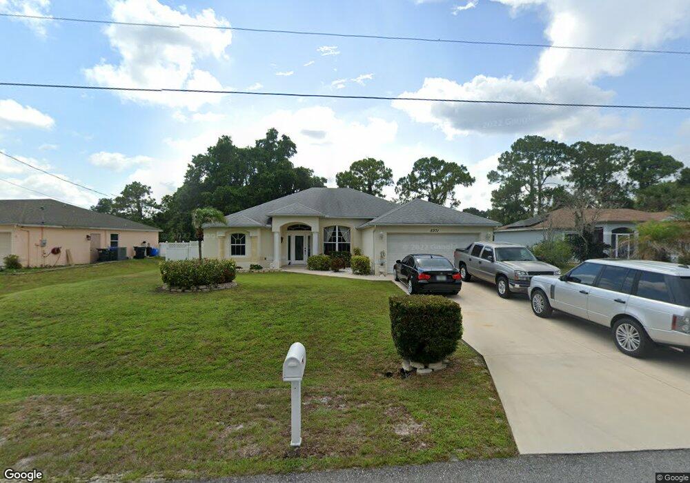
5371 Andris Ct North Port, FL 34288
Estimated Value: $321,173 - $384,000
3
Beds
2
Baths
2,033
Sq Ft
$177/Sq Ft
Est. Value
About This Home
This home is located at 5371 Andris Ct, North Port, FL 34288 and is currently estimated at $359,543, approximately $176 per square foot. 5371 Andris Ct is a home located in Sarasota County with nearby schools including Atwater Elementary School, North Port High School, and Woodland Middle School.
Ownership History
Date
Name
Owned For
Owner Type
Purchase Details
Closed on
Jun 4, 2018
Sold by
Que Ronald J
Bought by
Losada Jose and Losada Amanda
Current Estimated Value
Purchase Details
Closed on
Sep 29, 2003
Sold by
Allstate Bldr Sw Fl Inc
Bought by
Losada Ivan J and Losada Migdalia
Home Financials for this Owner
Home Financials are based on the most recent Mortgage that was taken out on this home.
Original Mortgage
$146,464
Interest Rate
6.28%
Mortgage Type
FHA
Create a Home Valuation Report for This Property
The Home Valuation Report is an in-depth analysis detailing your home's value as well as a comparison with similar homes in the area
Home Values in the Area
Average Home Value in this Area
Purchase History
| Date | Buyer | Sale Price | Title Company |
|---|---|---|---|
| Losada Jose | $5,900 | Stewart Title Co | |
| Losada Ivan J | $149,900 | -- |
Source: Public Records
Mortgage History
| Date | Status | Borrower | Loan Amount |
|---|---|---|---|
| Previous Owner | Losada Ivan J | $146,464 |
Source: Public Records
Tax History Compared to Growth
Tax History
| Year | Tax Paid | Tax Assessment Tax Assessment Total Assessment is a certain percentage of the fair market value that is determined by local assessors to be the total taxable value of land and additions on the property. | Land | Improvement |
|---|---|---|---|---|
| 2024 | $2,521 | $158,178 | -- | -- |
| 2023 | $2,521 | $153,571 | $0 | $0 |
| 2022 | $2,074 | $123,467 | $0 | $0 |
| 2021 | $2,039 | $119,871 | $0 | $0 |
| 2020 | $1,990 | $118,216 | $0 | $0 |
| 2019 | $1,932 | $115,558 | $0 | $0 |
| 2018 | $1,782 | $113,403 | $0 | $0 |
| 2017 | $1,743 | $111,071 | $0 | $0 |
| 2016 | $1,734 | $160,800 | $5,500 | $155,300 |
| 2015 | $1,758 | $144,900 | $4,400 | $140,500 |
| 2014 | $1,728 | $105,589 | $0 | $0 |
Source: Public Records
Map
Nearby Homes
- 0 Andris Ct Unit 2025010834
- 0 Hightower Rd Unit MFRC7514108
- 0 Hightower Rd Unit C7448539
- 0 Hightower Rd Unit MFRC7506192
- 18035 Hillsborough Blvd
- 17467 and 17475 Hillsborough Blvd
- 19233 Hillsborough Blvd
- 16197 Hillsborough Blvd
- 18399 Hillsborough Blvd
- 18043 Hillsborough Blvd
- 5509 Fairlane Dr
- Lot 16 Brancusi Ave
- 18117 Hillsborough Blvd
- 82 Statler St
- 17427 Hillsborough Blvd
- 0 Jonquil Terrace
- 71 Stanhope St
- 5574 Fairlane Dr
- 198 Sherbourne St
- 206 Sherbourne St
- 5359 Andris Ct
- 5383 Andris Ct
- 0 Andris Ct Unit K4901718
- Andris Ct
- Andris Ct
- Andris Ct
- 0 Andris Ct Unit C6993355
- 5395 Andris Ct
- 5394 Andris Ct
- 5360 Alseir Rd
- 5300 Alseir Rd
- 5350 Hightower Rd
- 5311 Andris Ct
- 1470 Longbow Ave
- 5366 Hightower Rd
- 5310 Andris Ct
- 0 Hightower Rd Unit D6101475
- 0 Hightower Rd Unit N6100658
- 0 Hightower Rd Unit D576734
- 0 Hightower Rd Unit C7237437