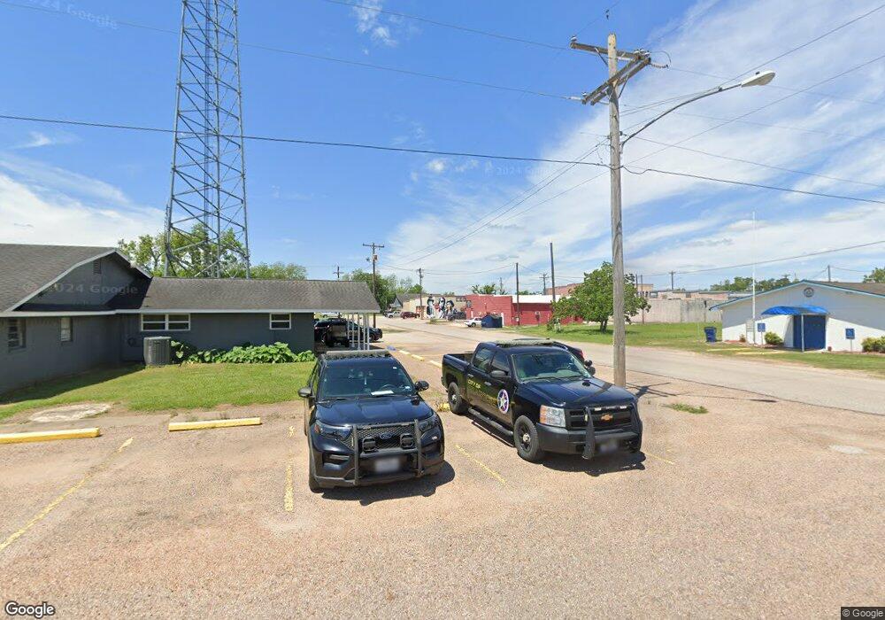
5371 Cr 388-F Brazoria, TX 77422
Estimated Value: $180,000 - $345,000
3
Beds
2
Baths
1,730
Sq Ft
$151/Sq Ft
Est. Value
About This Home
This home is located at 5371 Cr 388-F, Brazoria, TX 77422 and is currently estimated at $261,658, approximately $151 per square foot. 5371 Cr 388-F is a home located in Brazoria County with nearby schools including Sweeny Elementary School, Sweeny Junior High School, and Sweeny High School.
Ownership History
Date
Name
Owned For
Owner Type
Purchase Details
Closed on
Jun 27, 2007
Sold by
Chambliss Eddie C and Chambliss Karren
Bought by
Ercanbrack Eldon Bailey
Current Estimated Value
Home Financials for this Owner
Home Financials are based on the most recent Mortgage that was taken out on this home.
Original Mortgage
$95,000
Outstanding Balance
$58,410
Interest Rate
6.19%
Mortgage Type
Purchase Money Mortgage
Estimated Equity
$203,248
Create a Home Valuation Report for This Property
The Home Valuation Report is an in-depth analysis detailing your home's value as well as a comparison with similar homes in the area
Home Values in the Area
Average Home Value in this Area
Purchase History
| Date | Buyer | Sale Price | Title Company |
|---|---|---|---|
| Ercanbrack Eldon Bailey | -- | Stewart Title Brazoria Cnty |
Source: Public Records
Mortgage History
| Date | Status | Borrower | Loan Amount |
|---|---|---|---|
| Open | Ercanbrack Eldon Bailey | $95,000 |
Source: Public Records
Tax History Compared to Growth
Tax History
| Year | Tax Paid | Tax Assessment Tax Assessment Total Assessment is a certain percentage of the fair market value that is determined by local assessors to be the total taxable value of land and additions on the property. | Land | Improvement |
|---|---|---|---|---|
| 2025 | $1,502 | $197,727 | $74,330 | $196,460 |
| 2023 | $1,502 | $163,411 | $41,040 | $133,960 |
| 2022 | $2,862 | $148,555 | $19,560 | $149,440 |
| 2021 | $2,839 | $135,050 | $19,560 | $115,490 |
| 2020 | $3,024 | $135,240 | $16,470 | $118,770 |
| 2019 | $3,155 | $135,240 | $16,470 | $118,770 |
| 2018 | $3,115 | $135,240 | $16,470 | $118,770 |
| 2017 | $3,277 | $142,370 | $15,810 | $126,560 |
| 2016 | $2,979 | $142,370 | $15,810 | $126,560 |
| 2014 | $1,915 | $116,480 | $11,470 | $105,010 |
Source: Public Records
Map
Nearby Homes
- Lot 1 County Road 819
- 0 County Road 819
- 5031 County Road 819
- 6840 County Road 659
- 0 County Road 659 Unit 51464010
- 7068 County Road 659
- 6345 County Road 659
- 7088 County Road 659
- 6418 County Road 659
- 3418 County Road 310
- 6377 County Road 659
- 1665 County Road 310
- 3054 Fm 2611 Rd
- 0 County Road 306 Unit 25212710
- 000 County Road 627 Nar
- 4302 Cr 306
- 0 N Belt Dr
- 00 N Belt Dr
- TBD N Belt Dr
- 000 Pine St
- 5371 County Road 388f
- CR 388F Cr 388f
- County Road 388f
- 621 Cr 388e
- 00 Cr 388f
- 5248 County Road 388f
- 5237 County Road 388f
- 5226 County Road 388f
- 5242 County Road 388d
- 4132 County Road 659a
- 4423 County Road 659a
- 5349 County Road 819
- 6 Cr 659
- 735 County Road 388c
- 644 County Road 388c
- 4415 County Road 659a
- 4217 County Rd
- 722 County Road 388c
- 1165 Cr-659a
- 4439 County Road 659a
