Estimated Value: $293,000 - $430,000
--
Bed
--
Bath
1,620
Sq Ft
$213/Sq Ft
Est. Value
About This Home
This home is located at 53720 Hacker Rd, Colon, MI 49040 and is currently estimated at $345,130, approximately $213 per square foot. 53720 Hacker Rd is a home located in St. Joseph County.
Ownership History
Date
Name
Owned For
Owner Type
Purchase Details
Closed on
Dec 16, 2019
Sold by
Hagelgans Sarah J and Hagelgans Kenneth A
Bought by
Barnes Jeffery L and Hindenach Carrie
Current Estimated Value
Purchase Details
Closed on
Feb 1, 2018
Sold by
Hegelgans Gayle and Barnes Gayle
Bought by
Barnes Jeffrey L and Barnes Jeff
Home Financials for this Owner
Home Financials are based on the most recent Mortgage that was taken out on this home.
Original Mortgage
$25,000
Interest Rate
4.04%
Mortgage Type
Purchase Money Mortgage
Purchase Details
Closed on
May 11, 2015
Sold by
Barnes Gayle A and Barnes Gayle
Bought by
Barnes Jeffrey L and Barnes Jeff
Home Financials for this Owner
Home Financials are based on the most recent Mortgage that was taken out on this home.
Original Mortgage
$108,000
Interest Rate
3.62%
Mortgage Type
New Conventional
Purchase Details
Closed on
Sep 26, 2001
Sold by
Hagelgans Kenneth A and Hagelgans Sarah J
Bought by
Barnes Jeff L and Barnes Gayle
Purchase Details
Closed on
Aug 8, 2001
Create a Home Valuation Report for This Property
The Home Valuation Report is an in-depth analysis detailing your home's value as well as a comparison with similar homes in the area
Home Values in the Area
Average Home Value in this Area
Purchase History
| Date | Buyer | Sale Price | Title Company |
|---|---|---|---|
| Barnes Jeffery L | $75,000 | None Available | |
| Barnes Jeffrey L | -- | None Available | |
| Barnes Jeffrey L | -- | None Available | |
| Barnes Jeff L | $10,000 | -- | |
| -- | -- | -- |
Source: Public Records
Mortgage History
| Date | Status | Borrower | Loan Amount |
|---|---|---|---|
| Previous Owner | Barnes Jeffrey L | $25,000 | |
| Previous Owner | Barnes Jeffrey L | $108,000 |
Source: Public Records
Tax History Compared to Growth
Tax History
| Year | Tax Paid | Tax Assessment Tax Assessment Total Assessment is a certain percentage of the fair market value that is determined by local assessors to be the total taxable value of land and additions on the property. | Land | Improvement |
|---|---|---|---|---|
| 2025 | $1,996 | $173,600 | $0 | $173,600 |
| 2024 | $726 | $168,600 | $20,000 | $148,600 |
| 2023 | $691 | $151,000 | $19,200 | $131,800 |
| 2022 | $0 | $147,200 | $17,900 | $129,300 |
| 2021 | $0 | $118,100 | $18,700 | $99,400 |
| 2020 | $0 | $99,700 | $17,900 | $81,800 |
| 2019 | $618 | $113,200 | $17,000 | $96,200 |
| 2018 | $1,577 | $112,500 | $19,600 | $92,900 |
| 2017 | $1,530 | $100,200 | $100,200 | $0 |
| 2016 | -- | $92,700 | $92,700 | $0 |
| 2015 | -- | $94,500 | $0 | $0 |
| 2014 | -- | $84,500 | $84,500 | $0 |
| 2012 | -- | $83,800 | $83,800 | $0 |
Source: Public Records
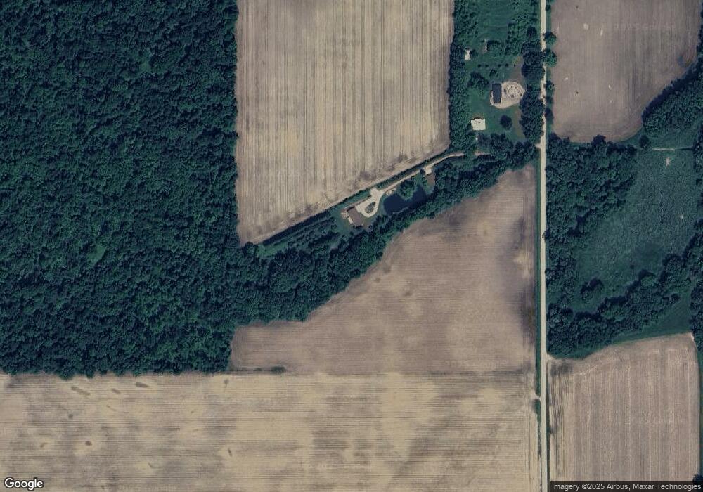
Map
Nearby Homes
- VL Heights Dr
- 881 Brent Dr
- 893 Vogel Dr
- 31765 Michigan 60
- v/l Oliverda Rd
- 1102 Oliverda Rd
- 0 Dotson Dr Unit 24037129
- 0 Dunks Rd
- 140 W Clay St
- 30879 Michigan 60
- V/L Chippawa Circle Dr
- 1182 Oliverda Rd
- 0 Marl Lake Rd
- 0 N Burr Oak Rd
- 3302 N Blackstone Ave
- 31688 W Colon Rd
- 161 Palmer Ave
- 457 S Burr Oak Rd
- 210 E South St
- 982 Stanton Rd
- 53600 Hacker Rd
- 53600 Hacker Rd
- 53430 Hacker Rd
- 53430 Hacker Rd
- 53430 Hacker Rd
- 53978 Hacker Rd
- 54158 Hacker Rd
- 33260 Reichart Rd
- 54250 Hacker Rd
- 53509 Shannon Rd
- 1274 Blossom Rd
- 1252 Blossom Rd
- 1265 Blossom Rd
- 53065 Shannon Rd
- 53583 Shannon Rd
- 53551 Shannon Rd
- 54130 Shannon Rd
- 54559 Blossom Rd
- 54559 Blossom Rd
- 53409 Shannon Rd