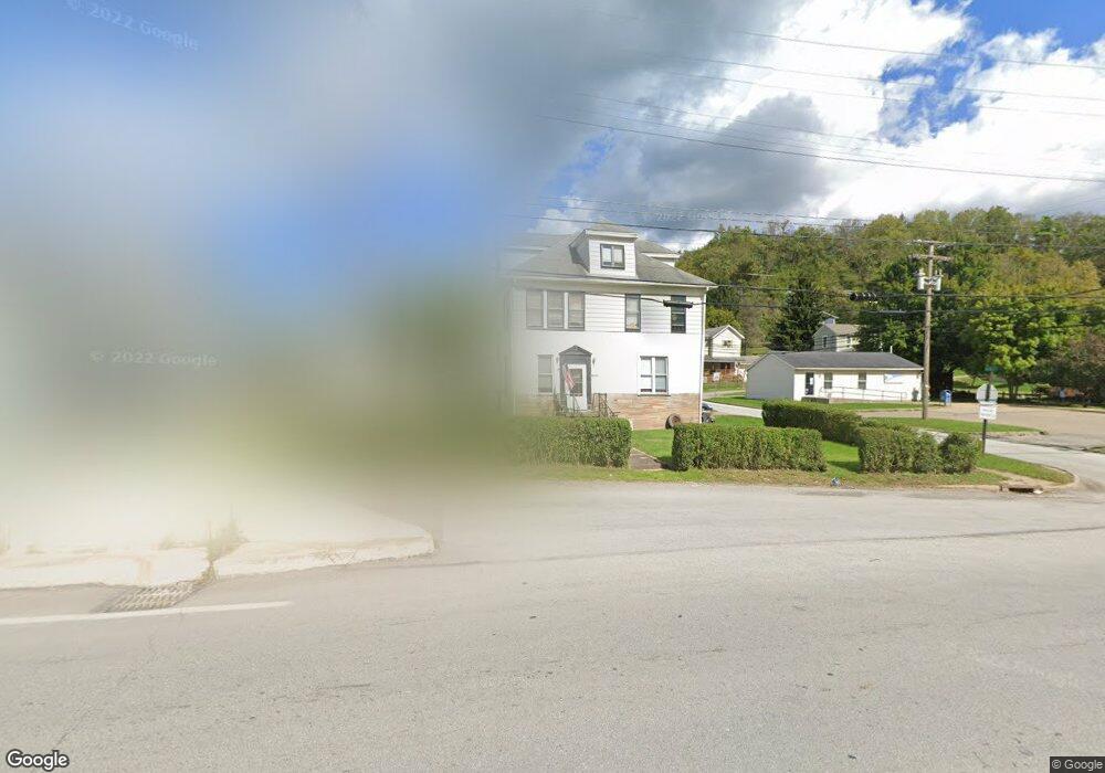
53721 National Rd Bridgeport, OH 43912
Estimated Value: $95,000 - $139,000
2
Beds
2
Baths
1,680
Sq Ft
$66/Sq Ft
Est. Value
About This Home
This home is located at 53721 National Rd, Bridgeport, OH 43912 and is currently estimated at $111,302, approximately $66 per square foot. 53721 National Rd is a home with nearby schools including Bridgeport Elementary School, Bridgeport Middle School, and Bridgeport High School.
Ownership History
Date
Name
Owned For
Owner Type
Purchase Details
Closed on
Apr 30, 2025
Sold by
Hall Sharon L
Bought by
Repik Joshua D and Pizzola Trina R
Current Estimated Value
Home Financials for this Owner
Home Financials are based on the most recent Mortgage that was taken out on this home.
Original Mortgage
$72,250
Outstanding Balance
$71,995
Interest Rate
6.67%
Mortgage Type
New Conventional
Estimated Equity
$39,307
Purchase Details
Closed on
Jul 20, 2001
Sold by
Hall Robert T and Hall Sharon L
Bought by
Hall Robert T and Hall Sharon L
Purchase Details
Closed on
Jan 1, 1986
Sold by
Ayers Leif
Bought by
Ayers Leif
Create a Home Valuation Report for This Property
The Home Valuation Report is an in-depth analysis detailing your home's value as well as a comparison with similar homes in the area
Home Values in the Area
Average Home Value in this Area
Purchase History
| Date | Buyer | Sale Price | Title Company |
|---|---|---|---|
| Repik Joshua D | $122,666 | Ohio Real Title Agency Llc | |
| Repik Joshua D | $122,666 | Ohio Real Title Agency Llc | |
| Hall Robert T | $50,000 | -- | |
| Ayers Leif | -- | -- |
Source: Public Records
Mortgage History
| Date | Status | Borrower | Loan Amount |
|---|---|---|---|
| Open | Repik Joshua D | $72,250 | |
| Closed | Repik Joshua D | $72,250 |
Source: Public Records
Tax History Compared to Growth
Tax History
| Year | Tax Paid | Tax Assessment Tax Assessment Total Assessment is a certain percentage of the fair market value that is determined by local assessors to be the total taxable value of land and additions on the property. | Land | Improvement |
|---|---|---|---|---|
| 2024 | $1,341 | $33,530 | $3,250 | $30,280 |
| 2023 | $1,081 | $28,030 | $3,230 | $24,800 |
| 2022 | $1,080 | $28,028 | $3,227 | $24,801 |
| 2021 | $1,076 | $28,042 | $3,227 | $24,815 |
| 2020 | $959 | $23,370 | $2,690 | $20,680 |
| 2019 | $961 | $23,370 | $2,690 | $20,680 |
| 2018 | $931 | $23,370 | $2,690 | $20,680 |
| 2017 | $879 | $19,360 | $3,010 | $16,350 |
| 2016 | $884 | $19,360 | $3,010 | $16,350 |
| 2015 | $880 | $19,360 | $3,010 | $16,350 |
| 2014 | $855 | $19,080 | $2,730 | $16,350 |
| 2013 | $811 | $19,080 | $2,730 | $16,350 |
Source: Public Records
Map
Nearby Homes
- 53679 Quimby Ave
- 67867 Crosley Rd
- 0 Poplar Dr Unit 4491238
- 0 Maple Dr Unit T9516724
- 68960 Pine Terrace Rd
- 54980 Maple Ave
- 68000 Walnut St
- 68511 Liston Ave
- 55273 Poplar Ave
- 55480 National Rd
- 55490 National Rd
- 55500 National Rd
- 69657 Chermont Rd
- 67330 Ebbert Rd S Unit 9
- 51945 William Ln
- 55560 Poplar Ave
- 65893 McGregor Hill Rd
- 51235 Burwood Dr
- 70571 Pine Hollow Rd
- 50905 National Rd E
- 53709 National Rd
- 53701 National Rd
- 53749 National Rd
- 67981 Handel St
- 53758 National Rd
- 53716 Quimby Ave
- 53765 National Rd
- 53720 Quimby Ave
- 53700 Quimby Ave
- 53753 Lane A Quimby Ave
- 53710 Quimby Ave
- 53710 Quimby Ave
- 67999 Blaine St
- 0 Quimby Ave
- 53690 Quimby Ave
- 53779 National Rd
- 53765 Quimby Ave
- 53660 Quimby Ave
- 53729 Quimby Ave
- 53721 Quimby Ave