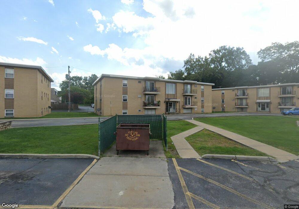
5374 Lee Rd Unit 14 Maple Heights, OH 44137
Estimated Value: $33,000 - $41,563
2
Beds
1
Bath
798
Sq Ft
$47/Sq Ft
Est. Value
About This Home
This home is located at 5374 Lee Rd Unit 14, Maple Heights, OH 44137 and is currently estimated at $37,188, approximately $46 per square foot. 5374 Lee Rd Unit 14 is a home located in Cuyahoga County with nearby schools including Abraham Lincoln Elementary School, Rockside/ J.F. Kennedy School, and Barack Obama School.
Ownership History
Date
Name
Owned For
Owner Type
Purchase Details
Closed on
Jun 27, 2018
Sold by
Nunnally John and Nunnally Mary D
Bought by
Jln Properties Llc
Current Estimated Value
Purchase Details
Closed on
Apr 14, 2003
Sold by
Todd Ronald J and Todd Nancy A
Bought by
Nunnally John and Nunnally Mary D
Purchase Details
Closed on
Nov 28, 1989
Bought by
Todd Ronald J
Purchase Details
Closed on
Dec 22, 1982
Bought by
Maple Carriage Partners
Purchase Details
Closed on
Jan 1, 1981
Bought by
Maple Vill Apts Co
Create a Home Valuation Report for This Property
The Home Valuation Report is an in-depth analysis detailing your home's value as well as a comparison with similar homes in the area
Home Values in the Area
Average Home Value in this Area
Purchase History
| Date | Buyer | Sale Price | Title Company |
|---|---|---|---|
| Jln Properties Llc | -- | None Available | |
| Nunnally John | $20,000 | -- | |
| Todd Ronald J | $19,300 | -- | |
| Maple Carriage Partners | -- | -- | |
| Maple Vill Apts Co | -- | -- |
Source: Public Records
Tax History Compared to Growth
Tax History
| Year | Tax Paid | Tax Assessment Tax Assessment Total Assessment is a certain percentage of the fair market value that is determined by local assessors to be the total taxable value of land and additions on the property. | Land | Improvement |
|---|---|---|---|---|
| 2024 | $922 | $9,345 | $945 | $8,400 |
| 2023 | $677 | $5,920 | $600 | $5,320 |
| 2022 | $675 | $5,920 | $600 | $5,320 |
| 2021 | $718 | $5,920 | $600 | $5,320 |
| 2020 | $766 | $5,850 | $600 | $5,250 |
| 2019 | $991 | $16,700 | $1,700 | $15,000 |
| 2018 | $737 | $5,850 | $600 | $5,250 |
| 2017 | $836 | $6,620 | $670 | $5,950 |
| 2016 | $801 | $6,620 | $670 | $5,950 |
| 2015 | $912 | $6,620 | $670 | $5,950 |
| 2014 | $912 | $8,260 | $840 | $7,420 |
Source: Public Records
Map
Nearby Homes
- 5247 Henry St
- 5210 Theodore St
- 15911 Friend Ave
- 5320 Clement Ave
- 17204 Maple Heights Blvd
- 5205 Stanley Ave
- 5606 Jefferson Ave
- 5208 Clement Ave
- 5212 Catherine St
- 5578 Dalewood Ave
- 5570 Dalewood Ave
- 5562 Dalewood Ave
- 5540 Dalewood Ave
- 15095 Granger Rd
- 5425 Grasmere Ave
- 5646 Adams Ave
- 5185 Clement Ave
- 15505 Benhoff Dr
- 5257 Philip Ave
- 5100 Greenhurst Dr
- 5374 Lee Rd
- 5374 Lee Rd Unit 15
- 5374 Lee Rd Unit 19
- 5374 Lee Rd Unit 21
- 5374 Lee Rd Unit 13
- 5374 Lee Rd
- 5374 Lee Rd
- 5374 Lee Rd
- 5374 Lee Rd
- 5374 Lee Rd Unit 16
- 5374 Lee Rd
- 5374 Lee Rd Unit 301
- 5374 Lee Rd Unit 103
- 5374 Lee Rd Unit 101
- 5374 Lee Rd Unit 304
- 5374 Lee Rd Unit 302
- 5374 Lee Rd Unit 201
- 5374 Lee Rd Unit 303
- 5378 Lee Rd Unit 25
- 5378 Lee Rd