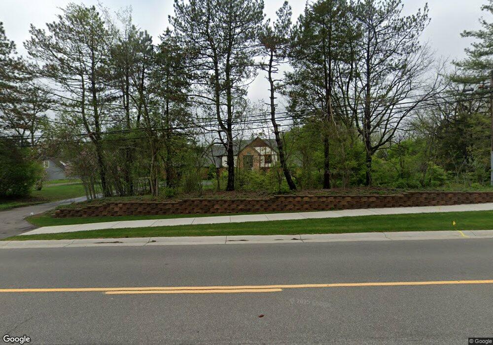
5375 N Adams Rd Bloomfield Hills, MI 48304
Estimated Value: $1,047,714 - $1,512,000
5
Beds
4
Baths
4,259
Sq Ft
$295/Sq Ft
Est. Value
About This Home
This home is located at 5375 N Adams Rd, Bloomfield Hills, MI 48304 and is currently estimated at $1,258,429, approximately $295 per square foot. 5375 N Adams Rd is a home located in Oakland County with nearby schools including Eastover Elementary School, Bloomfield Hills High School, and Academy of Sacred Heart.
Ownership History
Date
Name
Owned For
Owner Type
Purchase Details
Closed on
Sep 25, 2020
Sold by
Hurst Mutsuko W and Hurst William S
Bought by
Hurst Mutsuko W
Current Estimated Value
Home Financials for this Owner
Home Financials are based on the most recent Mortgage that was taken out on this home.
Original Mortgage
$351,200
Outstanding Balance
$308,217
Interest Rate
2.5%
Mortgage Type
New Conventional
Estimated Equity
$950,212
Purchase Details
Closed on
Mar 17, 1998
Sold by
Hegedus Stephen W
Bought by
Hurst William S
Create a Home Valuation Report for This Property
The Home Valuation Report is an in-depth analysis detailing your home's value as well as a comparison with similar homes in the area
Home Values in the Area
Average Home Value in this Area
Purchase History
| Date | Buyer | Sale Price | Title Company |
|---|---|---|---|
| Hurst Mutsuko W | -- | Accommodation | |
| Hurst William S | $570,000 | -- |
Source: Public Records
Mortgage History
| Date | Status | Borrower | Loan Amount |
|---|---|---|---|
| Open | Hurst Mutsuko W | $351,200 |
Source: Public Records
Tax History Compared to Growth
Tax History
| Year | Tax Paid | Tax Assessment Tax Assessment Total Assessment is a certain percentage of the fair market value that is determined by local assessors to be the total taxable value of land and additions on the property. | Land | Improvement |
|---|---|---|---|---|
| 2024 | $4,832 | $478,410 | $0 | $0 |
| 2023 | $4,676 | $446,080 | $0 | $0 |
| 2022 | $8,788 | $432,220 | $0 | $0 |
| 2021 | $8,725 | $414,360 | $0 | $0 |
| 2020 | $4,277 | $400,250 | $0 | $0 |
| 2019 | $8,210 | $378,310 | $0 | $0 |
| 2018 | $8,247 | $346,610 | $0 | $0 |
| 2017 | $8,188 | $325,820 | $0 | $0 |
| 2016 | $8,203 | $309,830 | $0 | $0 |
| 2015 | -- | $285,700 | $0 | $0 |
| 2014 | -- | $235,880 | $0 | $0 |
| 2011 | -- | $192,110 | $0 | $0 |
Source: Public Records
Map
Nearby Homes
- 2928 Vineyards Dr
- 2953 Squire Ct
- 952 Dursley Rd
- 4.8 Acres Westview Rd
- 2576 Homewood Dr
- 5218 Cherokee Ct
- 3370 BlooMcRest Dr
- 1048 Satterlee Rd
- 790 Hidden Pine Rd
- 2333 Tall Oaks Dr
- 3539 Walbri Dr
- 796 Rock Spring Rd
- 3340 Kernway Dr
- 175 Bridgeview Dr
- 2611 Tarragona Way
- 155 Bridgeview Dr
- 5275 Cheltenham Dr
- 433 Whippers In Ct
- 145 Bridgeview Dr
- 3826 Lakecrest Dr
- 5343 N Adams Rd
- 5365 N Adams Rd
- 5401 N Adams Rd
- 1255 Northover Dr Unit Bldg-Unit
- 1255 Northover Dr
- 1299 Northover Dr
- 1231 Northover Dr
- 2954 Homewood Dr
- 3065 Westman Ct
- 2951 Homewood Dr
- 1270 Westview Rd
- 1290 Westview Rd
- 1209 Northover Dr
- 3083 Westman Ct
- 3051 Westman Ct
- 1256 Westview Rd
- 2928 Homewood Dr
- 1278 Northover Dr
- 3033 Westman Ct
- 1254 Northover Dr