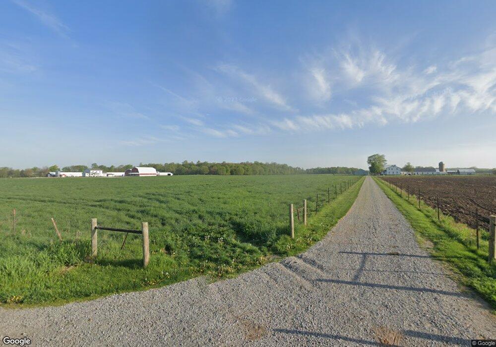
5375 W 100 S Lagrange, IN 46761
Estimated Value: $308,000 - $795,051
6
Beds
2
Baths
2,476
Sq Ft
$229/Sq Ft
Est. Value
About This Home
This home is located at 5375 W 100 S, Lagrange, IN 46761 and is currently estimated at $568,017, approximately $229 per square foot. 5375 W 100 S is a home located in LaGrange County with nearby schools including Shipshewana-Scott Elementary School, Westview Elementary School, and Westview Junior/Senior High School.
Ownership History
Date
Name
Owned For
Owner Type
Purchase Details
Closed on
Oct 16, 2025
Sold by
Yoder David F and Yoder Ida Mae
Bought by
Yoder Family Revocable Living Trust and Yoder
Current Estimated Value
Purchase Details
Closed on
Sep 24, 2025
Sold by
Tri-County Land Trustee Corporation
Bought by
Miller Leon and Miller Regina
Create a Home Valuation Report for This Property
The Home Valuation Report is an in-depth analysis detailing your home's value as well as a comparison with similar homes in the area
Home Values in the Area
Average Home Value in this Area
Purchase History
| Date | Buyer | Sale Price | Title Company |
|---|---|---|---|
| Yoder Family Revocable Living Trust | -- | None Listed On Document | |
| Miller Leon | -- | None Listed On Document | |
| Tri-County Land Truste | -- | None Listed On Document |
Source: Public Records
Tax History Compared to Growth
Tax History
| Year | Tax Paid | Tax Assessment Tax Assessment Total Assessment is a certain percentage of the fair market value that is determined by local assessors to be the total taxable value of land and additions on the property. | Land | Improvement |
|---|---|---|---|---|
| 2024 | $5,024 | $605,100 | $199,200 | $405,900 |
| 2023 | $4,707 | $579,300 | $171,400 | $407,900 |
| 2022 | $4,357 | $533,600 | $137,900 | $395,700 |
| 2021 | $3,894 | $451,600 | $119,900 | $331,700 |
| 2020 | $3,924 | $445,900 | $119,200 | $326,700 |
| 2019 | $4,239 | $471,100 | $139,800 | $331,300 |
| 2018 | $4,286 | $461,700 | $143,500 | $318,200 |
| 2017 | $4,234 | $480,700 | $163,800 | $316,900 |
| 2016 | $4,283 | $477,000 | $166,600 | $310,400 |
| 2014 | $4,341 | $435,000 | $167,700 | $267,300 |
| 2013 | $4,341 | $334,200 | $147,400 | $186,800 |
Source: Public Records
Map
Nearby Homes
- 1575 W 195 N
- 7260 W 350 N
- 365 Country Ln
- 7820 W 350 N
- 0 Corner of Factory St & Townline Rd Unit 202541800
- 217 N Sherman St
- 245 E 100 S
- 914 S Detroit St
- 310 Todd St
- 522 N Main St
- 915 N 015 E
- 207 S Poplar St
- 429 Jay St
- 423 Jay St
- 3295 N 980 W
- 218 N Main St
- 4720 N State Road 5
- 317 E Lake St
- 737 N Canal St
- 217 Zook St
- 5430 W 100 S
- 850 S 500 W
- 915 S 500 W
- 5855 W 100 S
- 625 S 600 W
- 1285 S 500 W
- 4760 W 100 S
- 955 S 600 W
- 1020 S 600 W
- 490 S 600 W
- 5360 W Us Highway 20
- 5450 W Us Highway 20
- 6055 W 050 S
- 5520 W Us Highway 20
- 6100 W 050 S
- 5480 W Us Highway 20
- 5190 W Us Highway 20
- 5560 W Us Highway 20
- 5610 W Us Highway 20
- 6115 W 050 S