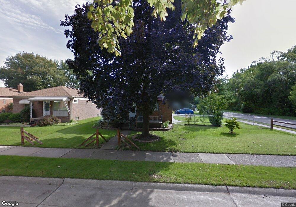
5375 Westpoint St Dearborn Heights, MI 48125
Estimated Value: $164,000 - $188,994
3
Beds
1
Bath
894
Sq Ft
$198/Sq Ft
Est. Value
About This Home
This home is located at 5375 Westpoint St, Dearborn Heights, MI 48125 and is currently estimated at $176,749, approximately $197 per square foot. 5375 Westpoint St is a home located in Wayne County with nearby schools including Polk Elementary School, Bedford School, and Pardee School.
Ownership History
Date
Name
Owned For
Owner Type
Purchase Details
Closed on
Jun 25, 2010
Sold by
Rodriguez Joseph and Rodriguez Cynthia
Bought by
Molnar Samuel and Molnar Sanda
Current Estimated Value
Purchase Details
Closed on
Mar 3, 2010
Sold by
Rodriguez Joseph and Rodriguez Cynthia L
Bought by
Wells Fargo Bank National Association
Purchase Details
Closed on
May 7, 2003
Sold by
Rodriguez Ernest and Rodriguez Sylvia
Bought by
Rodriguez Joseph
Create a Home Valuation Report for This Property
The Home Valuation Report is an in-depth analysis detailing your home's value as well as a comparison with similar homes in the area
Home Values in the Area
Average Home Value in this Area
Purchase History
| Date | Buyer | Sale Price | Title Company |
|---|---|---|---|
| Molnar Samuel | $42,600 | Title One Inc | |
| Wells Fargo Bank National Association | $176,084 | None Available | |
| Rodriguez Joseph | $120,000 | First American Title |
Source: Public Records
Tax History Compared to Growth
Tax History
| Year | Tax Paid | Tax Assessment Tax Assessment Total Assessment is a certain percentage of the fair market value that is determined by local assessors to be the total taxable value of land and additions on the property. | Land | Improvement |
|---|---|---|---|---|
| 2025 | $1,498 | $92,000 | $0 | $0 |
| 2024 | $1,498 | $81,700 | $0 | $0 |
| 2023 | $1,416 | $70,200 | $0 | $0 |
| 2022 | $1,967 | $61,400 | $0 | $0 |
| 2021 | $1,967 | $55,700 | $0 | $0 |
| 2019 | $1,910 | $45,600 | $0 | $0 |
| 2018 | $1,283 | $40,100 | $0 | $0 |
| 2017 | $1,156 | $36,800 | $0 | $0 |
| 2016 | $1,818 | $35,000 | $0 | $0 |
| 2015 | $3,250 | $32,500 | $0 | $0 |
| 2013 | $3,440 | $35,100 | $0 | $0 |
| 2010 | -- | $41,900 | $0 | $0 |
Source: Public Records
Map
Nearby Homes
- 24035 Currier St
- 4901 Cornell St
- 5689 Cornell St
- 5671 Syracuse St
- 24117 Eton Ave
- 4665 Syracuse St
- 4506 Syracuse St
- 24339 Eton Ave
- 4489 Westpoint St
- 24360 Pennie St
- 4474 Syracuse St
- 24443 Powers Ave
- 5908 Pine St
- 23214 S Brookside Dr
- 5954 Pine St
- 4449 Academy St
- 4193 Cornell St
- 4459 Parker St
- 24426 Lehigh St
- 24409 Stanford St
- 5367 Westpoint St
- 5359 Westpoint St
- 5368 Cornell St
- 5351 Westpoint St
- 5376 Cornell St
- 5343 Westpoint St
- 5368 Cornell St
- 5360 Cornell St
- 5352 Cornell St
- 5335 Westpoint St
- 5384 Westpoint St
- 5376 Westpoint St
- 5368 Westpoint St
- 5360 Westpoint St
- 5344 Cornell St
- 5327 Westpoint St
- 5352 Westpoint St
- 5336 Cornell St
- 5344 Westpoint St
- 5319 Westpoint St