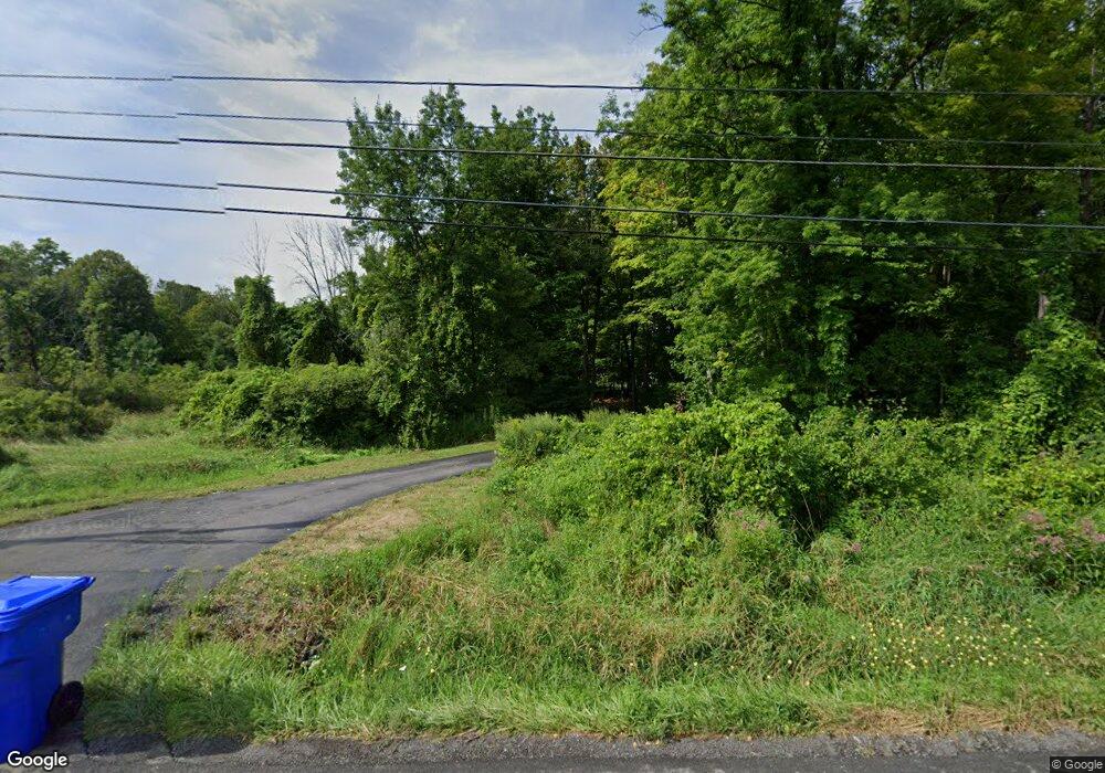
5377 Brockport Spencerport Rd Brockport, NY 14420
Estimated Value: $459,000 - $621,723
4
Beds
4
Baths
4,065
Sq Ft
$138/Sq Ft
Est. Value
About This Home
This home is located at 5377 Brockport Spencerport Rd, Brockport, NY 14420 and is currently estimated at $562,241, approximately $138 per square foot. 5377 Brockport Spencerport Rd is a home located in Monroe County with nearby schools including Ginther Elementary School, Barclay Elementary School, and Fred W. Hill Elementary School.
Ownership History
Date
Name
Owned For
Owner Type
Purchase Details
Closed on
Aug 18, 2009
Sold by
Heitz Mark P and Heitz Darlene A
Bought by
Holcomb Mark Thomas and Holcomb Elizabeth Ann
Current Estimated Value
Home Financials for this Owner
Home Financials are based on the most recent Mortgage that was taken out on this home.
Original Mortgage
$244,000
Outstanding Balance
$158,927
Interest Rate
5.19%
Mortgage Type
New Conventional
Estimated Equity
$403,314
Purchase Details
Closed on
Jun 26, 2002
Sold by
Greutzinger Donald
Bought by
Heitz Mark P
Create a Home Valuation Report for This Property
The Home Valuation Report is an in-depth analysis detailing your home's value as well as a comparison with similar homes in the area
Home Values in the Area
Average Home Value in this Area
Purchase History
| Date | Buyer | Sale Price | Title Company |
|---|---|---|---|
| Holcomb Mark Thomas | $305,000 | None Available | |
| Heitz Mark P | $70,000 | Richard Olson |
Source: Public Records
Mortgage History
| Date | Status | Borrower | Loan Amount |
|---|---|---|---|
| Open | Holcomb Mark Thomas | $244,000 |
Source: Public Records
Tax History Compared to Growth
Tax History
| Year | Tax Paid | Tax Assessment Tax Assessment Total Assessment is a certain percentage of the fair market value that is determined by local assessors to be the total taxable value of land and additions on the property. | Land | Improvement |
|---|---|---|---|---|
| 2024 | $12,504 | $472,500 | $40,500 | $432,000 |
| 2023 | $12,504 | $386,800 | $38,900 | $347,900 |
| 2022 | $12,134 | $386,800 | $38,900 | $347,900 |
| 2021 | $12,155 | $337,600 | $32,000 | $305,600 |
| 2020 | $12,284 | $337,600 | $32,000 | $305,600 |
| 2019 | $11,215 | $307,900 | $32,000 | $275,900 |
| 2018 | $11,047 | $307,900 | $32,000 | $275,900 |
| 2017 | $6,738 | $305,500 | $24,900 | $280,600 |
| 2016 | $11,215 | $305,500 | $24,900 | $280,600 |
| 2015 | -- | $305,500 | $24,900 | $280,600 |
| 2014 | -- | $305,500 | $24,900 | $280,600 |
Source: Public Records
Map
Nearby Homes
- 111 Shumway Rd
- 6084/4 Brockport Spencerport Rd Unit 4
- 147 Swamp Rd
- 6151 Brockport Spencerport Rd Unit R
- 4372 Canal Rd
- 16 Wood Trace
- 1161 Ogden Parma Town Line Rd
- 0 E Canal Rd Unit R1286908
- 2 Laurie Crescent
- 4310 Canal Rd
- 36 Mc Cormick Ln Unit 14
- 389 Washington St
- 476 East Ave
- 21 Tudor Rd
- 0 Lake Rd Unit R1632132
- 0 Lake Unit R1622987
- 0 Lake Unit R1616126
- 00 Lake Rd
- 11 Keystone Ct
- 31 Fairview Dr
- 5377 Brockport Spencerport Rd
- 5451 Brockport Spencerport Rd
- 5459 Brockport Spencerport Rd
- 5333 Brockport Spencerport Rd
- 5370 Brockport Spencerport Rd
- 5475 Brockport Spencerport Rd
- 5440 Brockport Spencerport Rd
- 5360 Brockport Spencerport Rd Unit Apartment 1
- 5360 Brockport Spencerport Rd
- 5483 Brockport Spencerport Rd
- 5478 Broc Spen Rd Unit 54
- 5490 Brockport Spencerport Rd Unit 5494
- 5491 Brockport Spencerport Rd
- 5344 Brockport Spencerport Rd
- 5490 Broc Spen Rd Unit 54
- 5499 Brockport Spencerport Rd
- 5506 Brockport Spencerport Rd
- 5505 Brockport Spencerport Rd
- 5518 Brockport Spencerport Rd
- 5515 Brockport Spencerport Rd
