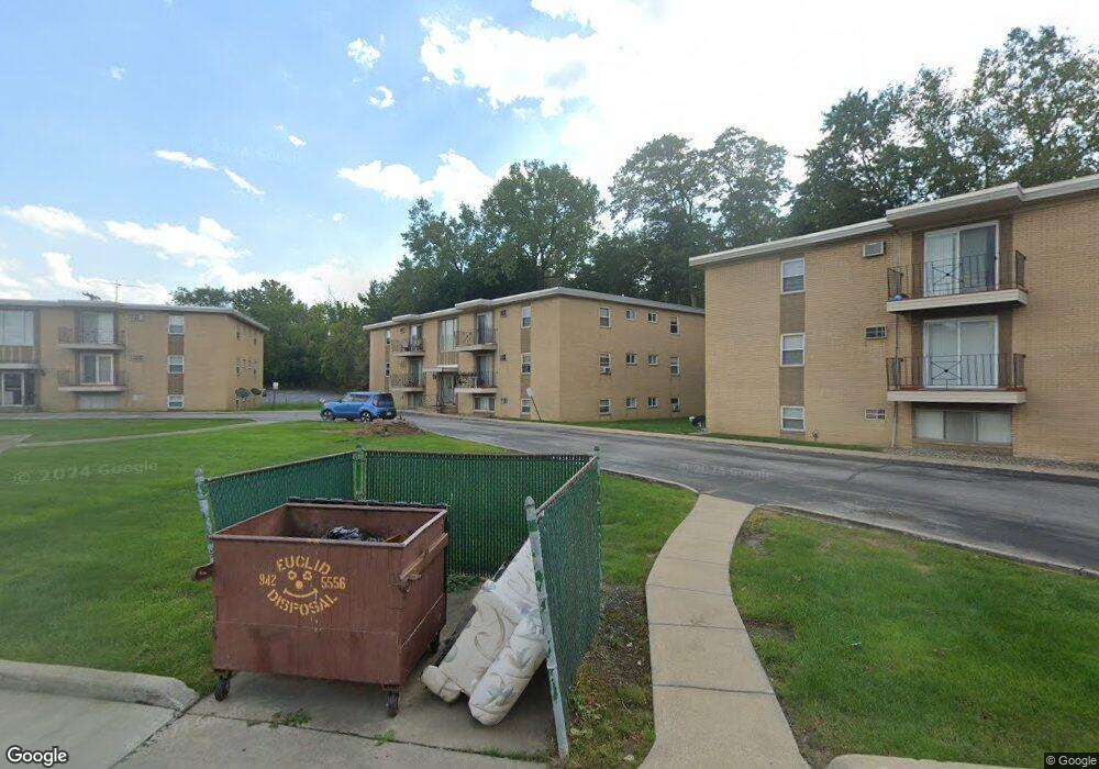
5378 Lee Rd Maple Heights, OH 44137
Estimated Value: $35,000 - $38,983
1
Bed
1
Bath
663
Sq Ft
$55/Sq Ft
Est. Value
About This Home
This home is located at 5378 Lee Rd, Maple Heights, OH 44137 and is currently estimated at $36,328, approximately $54 per square foot. 5378 Lee Rd is a home located in Cuyahoga County with nearby schools including Abraham Lincoln Elementary School, Rockside/ J.F. Kennedy School, and Barack Obama School.
Ownership History
Date
Name
Owned For
Owner Type
Purchase Details
Closed on
Oct 27, 2023
Sold by
Eierdam Diane and Eierdam Stephen
Bought by
Sklavenitis Penelope
Current Estimated Value
Purchase Details
Closed on
Nov 4, 2021
Sold by
Eierdam Diane
Bought by
Eierdam Diane and Eierdam Stephen
Purchase Details
Closed on
Jan 11, 2018
Sold by
Walker Norma E
Bought by
Eierdam Diane
Purchase Details
Closed on
Nov 13, 1989
Bought by
Walker Robert L
Purchase Details
Closed on
Dec 22, 1982
Bought by
Maple Carriage Partners
Purchase Details
Closed on
Jan 1, 1981
Bought by
Maple Vill Apts Co
Create a Home Valuation Report for This Property
The Home Valuation Report is an in-depth analysis detailing your home's value as well as a comparison with similar homes in the area
Home Values in the Area
Average Home Value in this Area
Purchase History
| Date | Buyer | Sale Price | Title Company |
|---|---|---|---|
| Sklavenitis Penelope | $23,000 | Cleveland Home Title | |
| Eierdam Diane | -- | None Available | |
| Eierdam Diane | -- | Competitive Title | |
| Walker Robert L | $17,600 | -- | |
| Maple Carriage Partners | -- | -- | |
| Maple Vill Apts Co | -- | -- |
Source: Public Records
Tax History
| Year | Tax Paid | Tax Assessment Tax Assessment Total Assessment is a certain percentage of the fair market value that is determined by local assessors to be the total taxable value of land and additions on the property. | Land | Improvement |
|---|---|---|---|---|
| 2024 | $665 | $6,370 | $630 | $5,740 |
| 2023 | $505 | $4,060 | $420 | $3,640 |
| 2022 | $503 | $4,060 | $420 | $3,640 |
| 2021 | $533 | $4,060 | $420 | $3,640 |
| 2020 | $568 | $4,030 | $420 | $3,610 |
| 2019 | $793 | $11,500 | $1,200 | $10,300 |
| 2018 | $545 | $4,030 | $420 | $3,610 |
| 2017 | $707 | $5,430 | $530 | $4,900 |
| 2016 | $676 | $5,430 | $530 | $4,900 |
| 2015 | $1,598 | $5,430 | $530 | $4,900 |
| 2014 | $1,598 | $6,800 | $670 | $6,130 |
Source: Public Records
Map
Nearby Homes
- 5370 Lee Rd Unit 302
- 5382 Lee Rd Unit 102
- 5382 Lee Rd Unit 204
- 5382 Lee Rd Unit 202
- 16907 Maple Heights Blvd
- 16174 Friend Ave
- 17005 Mapleboro Ave
- 5210 Theodore St
- 16672 Broadway Ave
- 5204 Anthony St
- 5650 Lafayette Ave
- 5212 Catherine St
- 16101 Raymond St
- 5578 Dalewood Ave
- 15095 Granger Rd
- 17409 Mapleboro Ave
- 5062 Lee Rd
- 5246 Philip Ave
- 5481 Dalewood Ave
- 5231 Philip Ave
- 5378 Lee Rd Unit 31
- 5378 Lee Rd Unit 25
- 5378 Lee Rd
- 5378 Lee Rd Unit 32
- 5378 Lee Rd Unit 2531
- 5378 Lee Rd Unit 29
- 5378 Lee Rd
- 5378 Lee Rd
- 5378 Lee Rd
- 5378 Lee Rd Unit 28
- 5378 Lee Rd Unit 27
- 5378 Lee Rd
- 5378 Lee Rd Unit 30
- 5378 Lee Rd Unit 202
- 5378 Lee Rd Unit 201
- 5378 Lee Rd Unit 303
- 5374 Lee Rd
- 5374 Lee Rd Unit 15
- 5374 Lee Rd Unit 19
- 5374 Lee Rd Unit 21
Your Personal Tour Guide
Ask me questions while you tour the home.