Estimated Value: $167,000 - $197,000
4
Beds
2
Baths
1,080
Sq Ft
$163/Sq Ft
Est. Value
About This Home
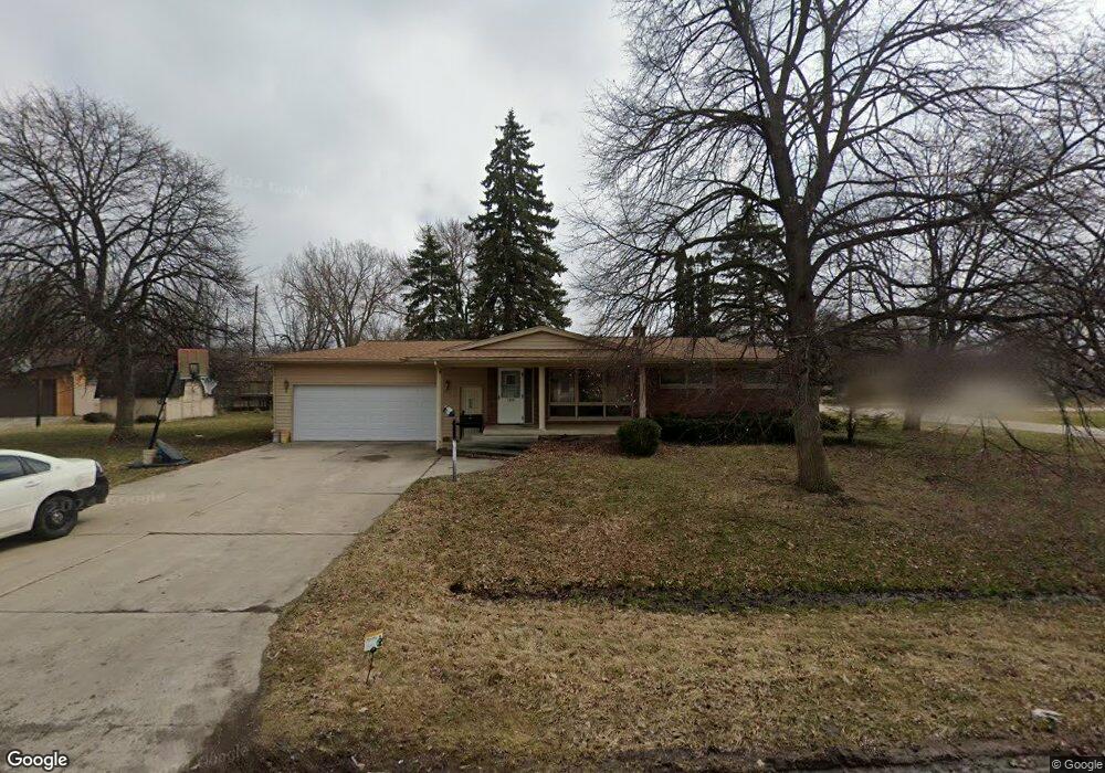
This home is located at 5379 Devon Ct, Flint, MI 48532 and is currently estimated at $176,142, approximately $163 per square foot. 5379 Devon Ct is a home located in Genesee County with nearby schools including Carman-Ainsworth High School, Genesee STEM Academy, and First Flint Seventh-day Adventist Christian School.
Ownership History
Date
Name
Owned For
Owner Type
Purchase Details
Closed on
Mar 1, 2007
Sold by
Harrison William E and Wanda L Harrison Joint Trust
Bought by
Weathers Andre and Weathers Kendra M
Current Estimated Value
Home Financials for this Owner
Home Financials are based on the most recent Mortgage that was taken out on this home.
Original Mortgage
$107,015
Outstanding Balance
$75,433
Interest Rate
9.62%
Mortgage Type
Purchase Money Mortgage
Estimated Equity
$100,709
Purchase Details
Closed on
Sep 17, 1999
Sold by
Harrison William E and Harrison Wanda L
Bought by
Harrison William E and Harrison Wanda L
Create a Home Valuation Report for This Property
The Home Valuation Report is an in-depth analysis detailing your home's value as well as a comparison with similar homes in the area
Home Values in the Area
Average Home Value in this Area
Purchase History
| Date | Buyer | Sale Price | Title Company |
|---|---|---|---|
| Weathers Andre | $125,900 | Titlequest Agency | |
| Harrison William E | -- | -- |
Source: Public Records
Mortgage History
| Date | Status | Borrower | Loan Amount |
|---|---|---|---|
| Open | Weathers Andre | $107,015 |
Source: Public Records
Tax History
| Year | Tax Paid | Tax Assessment Tax Assessment Total Assessment is a certain percentage of the fair market value that is determined by local assessors to be the total taxable value of land and additions on the property. | Land | Improvement |
|---|---|---|---|---|
| 2025 | $1,972 | $78,600 | $0 | $0 |
| 2024 | $1,003 | $80,100 | $0 | $0 |
| 2023 | $1,831 | $70,000 | $0 | $0 |
| 2022 | $1,031 | $59,000 | $0 | $0 |
| 2021 | $1,010 | $50,700 | $0 | $0 |
| 2020 | $1,171 | $45,500 | $0 | $0 |
| 2019 | $848 | $41,200 | $0 | $0 |
| 2018 | $1,644 | $38,200 | $0 | $0 |
| 2017 | $1,542 | $38,200 | $0 | $0 |
| 2016 | $1,582 | $37,000 | $0 | $0 |
| 2015 | $1,424 | $37,000 | $0 | $0 |
| 2014 | $845 | $35,400 | $0 | $0 |
| 2012 | -- | $34,700 | $34,700 | $0 |
Source: Public Records
Map
Nearby Homes
- 5423 Meadowcrest Dr
- 2052 S Dye Rd
- 5323 Elmsford Dr
- 0000 Reuben Reuben St
- 5290 Brobeck St
- 1460 S Dye Rd
- 5526 Corunna Rd
- 6007 Corunna Rd
- 1417 Grassmere Ave
- 5227 Dania St
- 5200 Elko St
- 5151 Brobeck St
- 2356 S Dye Rd
- 6090 Lancaster Dr
- 2521 White Oak Place
- 1455 S Linden Rd
- 000 Corunna Rd
- 6172 W Court St
- 4480 Corunna Rd
- 00 Corunna Rd
- 5369 Devon Ct
- 5380 Devon Ct
- 2052 Kenwood Dr
- 2058 Kenwood Dr
- 5398 Litchfield Dr
- 2085 Kenwood Dr
- 2077 Kenwood Dr
- 5364 Devon Ct
- 5370 Devon Ct
- 2037 Kenwood Dr
- 2080 Kenwood Dr
- 2091 Kenwood Dr
- 2046 Kenwood Dr
- 5337 Corunna Rd
- 5340 Westchester Dr
- 2025 Kenwood Dr
- 5406 Litchfield Dr
- 2086 Kenwood Dr
- 5350 Westchester Dr
- 2092 Kenwood Dr
Your Personal Tour Guide
Ask me questions while you tour the home.