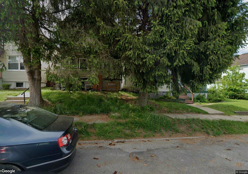
538 1/2 Locust St Du Bois, PA 15801
Estimated Value: $60,000 - $276,000
--
Bed
--
Bath
--
Sq Ft
2,614
Sq Ft Lot
About This Home
This home is located at 538 1/2 Locust St, Du Bois, PA 15801 and is currently estimated at $138,667. 538 1/2 Locust St is a home located in Clearfield County with nearby schools including DuBois Area Senior High School, Central Catholic Elementary School, and DuBois Area Catholic School.
Ownership History
Date
Name
Owned For
Owner Type
Purchase Details
Closed on
Aug 24, 2018
Sold by
Rodgers Alvin D and Rodgers Amy Anne
Bought by
All Secure Storage Llc
Current Estimated Value
Home Financials for this Owner
Home Financials are based on the most recent Mortgage that was taken out on this home.
Original Mortgage
$27,000
Outstanding Balance
$23,448
Interest Rate
4.5%
Mortgage Type
Commercial
Estimated Equity
$115,219
Purchase Details
Closed on
Feb 11, 2004
Sold by
Lanzoni Richard J and Lanzoni Carol A
Bought by
Rodgers Alvin D and Mary Anne
Create a Home Valuation Report for This Property
The Home Valuation Report is an in-depth analysis detailing your home's value as well as a comparison with similar homes in the area
Home Values in the Area
Average Home Value in this Area
Purchase History
| Date | Buyer | Sale Price | Title Company |
|---|---|---|---|
| All Secure Storage Llc | $36,000 | None Available | |
| Rodgers Alvin D | $38,000 | -- |
Source: Public Records
Mortgage History
| Date | Status | Borrower | Loan Amount |
|---|---|---|---|
| Open | All Secure Storage Llc | $27,000 |
Source: Public Records
Tax History Compared to Growth
Tax History
| Year | Tax Paid | Tax Assessment Tax Assessment Total Assessment is a certain percentage of the fair market value that is determined by local assessors to be the total taxable value of land and additions on the property. | Land | Improvement |
|---|---|---|---|---|
| 2025 | $809 | $11,100 | $1,350 | $9,750 |
| 2024 | $139 | $5,550 | $675 | $4,875 |
| 2023 | $798 | $5,550 | $675 | $4,875 |
| 2022 | $756 | $5,550 | $675 | $4,875 |
| 2021 | $756 | $5,550 | $675 | $4,875 |
| 2020 | $756 | $5,550 | $675 | $4,875 |
| 2019 | $756 | $5,550 | $675 | $4,875 |
| 2018 | $0 | $5,550 | $675 | $4,875 |
| 2017 | $745 | $5,550 | $675 | $4,875 |
| 2016 | -- | $5,550 | $675 | $4,875 |
| 2015 | -- | $5,550 | $675 | $4,875 |
| 2014 | -- | $5,550 | $675 | $4,875 |
Source: Public Records
Map
Nearby Homes
- 549 Locust St
- 125 Penn Ave
- 1237 1/2 & 1239 S Brady St
- 9 South Ave
- 417 Spring Ave
- 0 Hospital Ave
- 525 W Weber Ave
- 0 Rudy Ave
- 101 W Weber Ave
- 136 Tozier Ave
- 510 S Church St
- 107 S Main St
- 0 Turtle Alley Unit 4-14209
- 12 Hubert St
- 626 W Long Ave
- 216 E Long Ave
- 159 E Long Ave
- 1123 S Main St
- 204 E Park Ave
- 132 Mccullough St
- 538 Locust St
- 540 Locust St
- 540 1/2 Locust St
- 534 Locust St
- 546 1/2 Locust St
- 542 Locust St
- 530 Locust St
- 519 S Main St
- 521 S Main St
- 544 Locust St
- 548 Locust St
- 526 Locust St
- 517 S Main St
- 523 S Main St
- 515 S Main St
- 522 Locust St
- 552 Locust St
- 513 S Main St Unit 513 1/2
- 328 Wayne Ave
- 520 Locust St