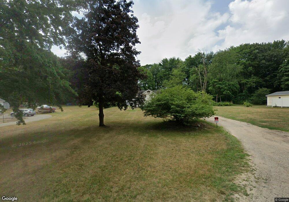
538 Clark Dr NW Comstock Park, MI 49321
Estimated Value: $173,000 - $221,532
2
Beds
1
Bath
870
Sq Ft
$227/Sq Ft
Est. Value
About This Home
This home is located at 538 Clark Dr NW, Comstock Park, MI 49321 and is currently estimated at $197,383, approximately $226 per square foot. 538 Clark Dr NW is a home located in Kent County with nearby schools including Stoney Creek Elementary School, Pine Island Elementary School, and Mill Creek Middle School.
Ownership History
Date
Name
Owned For
Owner Type
Purchase Details
Closed on
Oct 18, 2021
Sold by
Napieralski Nicholas N and Napieralski Raelynn
Bought by
Markoski Gregory M and Markoski Bradley P
Current Estimated Value
Home Financials for this Owner
Home Financials are based on the most recent Mortgage that was taken out on this home.
Original Mortgage
$90,000
Outstanding Balance
$82,072
Interest Rate
2.8%
Mortgage Type
New Conventional
Estimated Equity
$115,311
Purchase Details
Closed on
Jan 7, 1946
Sold by
Mcnitt Leo E and Snooks Bertha A
Bought by
Martin Wesley L and Martin Marjorie
Purchase Details
Closed on
Dec 20, 1945
Sold by
Mcnitt Cora E
Bought by
Martin Wesley L and Martin Marjorie
Create a Home Valuation Report for This Property
The Home Valuation Report is an in-depth analysis detailing your home's value as well as a comparison with similar homes in the area
Home Values in the Area
Average Home Value in this Area
Purchase History
| Date | Buyer | Sale Price | Title Company |
|---|---|---|---|
| Markoski Gregory M | $130,000 | None Listed On Document | |
| Napieralski Nicholas N | $63,000 | None Listed On Document | |
| Martin Wesley L | -- | None Available | |
| Martin Wesley L | -- | Transnation Title Agency Of |
Source: Public Records
Mortgage History
| Date | Status | Borrower | Loan Amount |
|---|---|---|---|
| Open | Markoski Gregory M | $90,000 |
Source: Public Records
Tax History Compared to Growth
Tax History
| Year | Tax Paid | Tax Assessment Tax Assessment Total Assessment is a certain percentage of the fair market value that is determined by local assessors to be the total taxable value of land and additions on the property. | Land | Improvement |
|---|---|---|---|---|
| 2025 | $1,961 | $80,300 | $0 | $0 |
| 2024 | $1,961 | $83,100 | $0 | $0 |
| 2023 | $1,874 | $78,500 | $0 | $0 |
| 2022 | $2,902 | $63,000 | $0 | $0 |
| 2021 | $1,910 | $60,800 | $0 | $0 |
| 2020 | $962 | $46,400 | $0 | $0 |
| 2019 | $1,645 | $44,800 | $0 | $0 |
| 2018 | $1,671 | $44,800 | $0 | $0 |
| 2017 | $1,631 | $41,500 | $0 | $0 |
| 2016 | $1,760 | $32,200 | $0 | $0 |
| 2015 | -- | $32,200 | $0 | $0 |
| 2013 | -- | $30,600 | $0 | $0 |
Source: Public Records
Map
Nearby Homes
- 510 Clark St NW
- 4154 Woodrush Ln NW Unit 65
- 4010 Woodrush Ln NW Unit 40
- 276 Mabel St NW Unit 54
- 211 York View Place NW
- Wilshire Plan at The Range
- Remington Plan at The Range
- Linden Plan at The Range
- Enclave Plan at The Range
- Croswell Plan at The Range
- Cascade Plan at The Range
- Carson Plan at The Range
- Avery Plan at The Range
- Ashton Plan at The Range
- Andover Plan at The Range
- 981 Ellerston St NW
- 452 Springfield St NW
- 236 4 Mile Rd NW
- 4422 Division Ave N
- 4678 Westshire Dr NW
- 550 Clark Dr NW
- 530 Clark Dr NW
- 299 Chasseral Ct NW
- 315 Chasseral Ct NW
- 285 Chasseral Ct NW Unit 53
- 4142 Chasseral Dr NW
- 4142 Chasseral Dr NW Unit 56
- 560 Clark Dr NW
- 4146 Chasseral Dr NW
- 273 Chasseral Ct NW Unit 52
- 555 Clark Dr NW
- 545 Clark Dr NW
- 310 Chasseral Ct NW Unit 48
- 4239 Fink Ave NW
- 518 Clark Dr NW
- 580 Clark Dr NW
- 4160 Chasseral Dr NW
- 525 Clark Dr NW
- 280 Chasseral Ct NW
- 280 Chasseral Ct NW Unit 50
