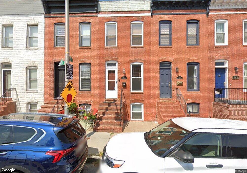
538 E Fort Ave Baltimore, MD 21230
Riverside NeighborhoodEstimated Value: $341,190 - $358,000
2
Beds
1
Bath
1,124
Sq Ft
$311/Sq Ft
Est. Value
About This Home
This home is located at 538 E Fort Ave, Baltimore, MD 21230 and is currently estimated at $349,595, approximately $311 per square foot. 538 E Fort Ave is a home located in Baltimore City with nearby schools including Thomas Johnson Elementary School, Booker T. Washington Middle School, and Digital Harbor High School.
Ownership History
Date
Name
Owned For
Owner Type
Purchase Details
Closed on
May 12, 2025
Sold by
Donahue Brian Patrick
Bought by
Brian Patrick Donahue Revocable Trust and Donahue
Current Estimated Value
Purchase Details
Closed on
Jul 18, 2008
Sold by
Laforte Christina M
Bought by
Donahue Brian P
Home Financials for this Owner
Home Financials are based on the most recent Mortgage that was taken out on this home.
Original Mortgage
$330,450
Interest Rate
6.13%
Mortgage Type
VA
Purchase Details
Closed on
Jan 9, 2007
Sold by
Shearer Matthew A
Bought by
Laforte Christina M and Laforte Joseph
Home Financials for this Owner
Home Financials are based on the most recent Mortgage that was taken out on this home.
Original Mortgage
$268,800
Interest Rate
6.24%
Mortgage Type
Purchase Money Mortgage
Purchase Details
Closed on
Dec 18, 2001
Sold by
Brune Pauline
Bought by
Shearer Matthew A
Create a Home Valuation Report for This Property
The Home Valuation Report is an in-depth analysis detailing your home's value as well as a comparison with similar homes in the area
Home Values in the Area
Average Home Value in this Area
Purchase History
| Date | Buyer | Sale Price | Title Company |
|---|---|---|---|
| Brian Patrick Donahue Revocable Trust | -- | None Listed On Document | |
| Donahue Brian P | $323,500 | -- | |
| Laforte Christina M | $336,000 | -- | |
| Shearer Matthew A | $149,000 | -- |
Source: Public Records
Mortgage History
| Date | Status | Borrower | Loan Amount |
|---|---|---|---|
| Previous Owner | Donahue Brian P | $330,450 | |
| Previous Owner | Laforte Christina M | $268,800 | |
| Previous Owner | Laforte Christina M | $33,600 |
Source: Public Records
Tax History
| Year | Tax Paid | Tax Assessment Tax Assessment Total Assessment is a certain percentage of the fair market value that is determined by local assessors to be the total taxable value of land and additions on the property. | Land | Improvement |
|---|---|---|---|---|
| 2025 | $7,363 | $314,233 | -- | -- |
| 2024 | $7,363 | $313,467 | -- | -- |
| 2023 | $7,345 | $312,700 | $80,000 | $232,700 |
| 2022 | $7,271 | $308,100 | $0 | $0 |
| 2021 | $7,163 | $303,500 | $0 | $0 |
| 2020 | $6,435 | $298,900 | $80,000 | $218,900 |
| 2019 | $6,356 | $296,967 | $0 | $0 |
| 2018 | $6,416 | $295,033 | $0 | $0 |
| 2017 | $6,453 | $293,100 | $0 | $0 |
| 2016 | $6,967 | $282,900 | $0 | $0 |
| 2015 | $6,967 | $272,700 | $0 | $0 |
| 2014 | $6,967 | $262,500 | $0 | $0 |
Source: Public Records
Map
Nearby Homes
- 442 E Fort Ave
- 608 E Fort Ave
- 1519 Henry St
- 1600 Jackson St
- 616 Hyson St
- 432 E Clement St
- 443 E Gittings St
- 435 E Gittings St
- 405 E Clement St
- 1311 Belt St
- 214 E Fort Ave
- 1735 Belt St
- 1523 William St
- 1254 Harbor Island Walk
- 1738 Webster St
- 1264 Riverside Ave
- 1271 Battery Ave
- 1225 Harbor Island Walk
- 1220 Harbor Island Walk
- 1520 Byrd St
Your Personal Tour Guide
Ask me questions while you tour the home.