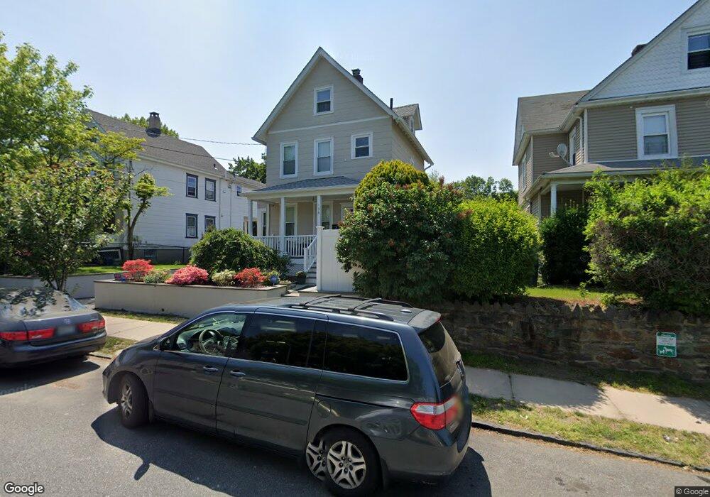
538 Locust Ave Port Chester, NY 10573
Estimated Value: $459,000 - $571,361
3
Beds
1
Bath
984
Sq Ft
$523/Sq Ft
Est. Value
About This Home
This home is located at 538 Locust Ave, Port Chester, NY 10573 and is currently estimated at $515,090, approximately $523 per square foot. 538 Locust Ave is a home located in Westchester County with nearby schools including Port Chester Middle School, Port Chester Senior High School, and Westchester Fairfield Hebrew A.
Ownership History
Date
Name
Owned For
Owner Type
Purchase Details
Closed on
Sep 12, 2025
Sold by
Bonvino Joseph and Bonvino Maria
Bought by
Bonvino Angelo
Current Estimated Value
Purchase Details
Closed on
Apr 27, 2015
Sold by
Deutsche Bank National Trust Company
Bought by
Quarropas Llc
Purchase Details
Closed on
Nov 20, 2013
Sold by
Novak Alice
Bought by
Ventura Francis A
Home Financials for this Owner
Home Financials are based on the most recent Mortgage that was taken out on this home.
Original Mortgage
$148,500
Interest Rate
4.29%
Mortgage Type
New Conventional
Purchase Details
Closed on
Jul 2, 2008
Sold by
Marin Luis A and Marin Monica J
Bought by
Rodriguez Juan F and Rodriguez Laura
Create a Home Valuation Report for This Property
The Home Valuation Report is an in-depth analysis detailing your home's value as well as a comparison with similar homes in the area
Home Values in the Area
Average Home Value in this Area
Purchase History
| Date | Buyer | Sale Price | Title Company |
|---|---|---|---|
| Bonvino Angelo | -- | Westchester Land Services | |
| Quarropas Llc | $290,000 | Judicial Title Insurance | |
| Ventura Francis A | $165,000 | None Available | |
| Rodriguez Juan F | $445,000 | Stewart Title Insurance Co |
Source: Public Records
Mortgage History
| Date | Status | Borrower | Loan Amount |
|---|---|---|---|
| Previous Owner | Ventura Francis A | $148,500 |
Source: Public Records
Tax History Compared to Growth
Tax History
| Year | Tax Paid | Tax Assessment Tax Assessment Total Assessment is a certain percentage of the fair market value that is determined by local assessors to be the total taxable value of land and additions on the property. | Land | Improvement |
|---|---|---|---|---|
| 2024 | $9,298 | $458,800 | $137,700 | $321,100 |
| 2023 | $8,670 | $428,800 | $131,200 | $297,600 |
| 2022 | $7,793 | $404,500 | $131,200 | $273,300 |
| 2021 | $8,110 | $361,200 | $131,200 | $230,000 |
| 2020 | $7,502 | $354,100 | $131,200 | $222,900 |
| 2019 | $8,765 | $302,300 | $129,800 | $172,500 |
| 2018 | $5,155 | $299,400 | $131,100 | $168,300 |
| 2017 | $1,618 | $283,500 | $121,300 | $162,200 |
| 2016 | $7,151 | $270,900 | $115,500 | $155,400 |
| 2015 | -- | $283,900 | $127,100 | $156,800 |
| 2014 | -- | $230,200 | $97,300 | $132,900 |
| 2013 | -- | $230,200 | $97,300 | $132,900 |
Source: Public Records
Map
Nearby Homes
- 531 1/2 Willett Ave
- 558 Locust Ave
- 180 Madison Ave
- 238 Madison Ave
- 340 Locust Ave
- 38 Riverdale Ave
- 53 Linden St
- 412 Orchard St
- 26 Homestead Ln Unit A
- 95 Byram Rd
- 14 Sherman Ave
- 16 Rollhaus Place
- 220 Chestnut St Unit 2K
- 23 Pemberwick Rd
- 18 Sherman Ave
- 374 King St
- 325 King St Unit 2G
- 325 King St Unit 4D
- 325 King St Unit 6J
- 315 King St Unit 1L
- 534 Locust Ave
- 540 Locust Ave Unit 2
- 540 Locust Ave Unit 1
- 540 Locust Ave
- 532 Locust Ave
- 0 Locust Ave
- 542 Locust Ave
- 544 Locust Ave Unit 3A
- 544 Locust Ave Unit 2A
- 544 Locust Ave Unit 2B
- 544 Locust Ave Unit 1A
- 544 Locust Ave
- 533 Willett Ave
- 530 Locust Ave
- 535 Willett Ave
- 531 Willett Ave
- 537 Willett Ave
- 529 Willett Ave
- 537 Locust Ave
- 528 Locust Ave