538 S Lapham Peak Rd Delafield, WI 53018
Estimated Value: $539,000 - $667,000
4
Beds
3
Baths
--
Sq Ft
130,680
Sq Ft
About This Home
This home is located at 538 S Lapham Peak Rd, Delafield, WI 53018 and is currently estimated at $604,332. 538 S Lapham Peak Rd is a home located in Waukesha County with nearby schools including Cushing Elementary School, Kettle Moraine Middle School, and Kettle Moraine High School.
Ownership History
Date
Name
Owned For
Owner Type
Purchase Details
Closed on
Apr 14, 1998
Sold by
Gedney Paul T and Dierking Paul T
Bought by
Beal Paul J and Holley Beal Faith M
Current Estimated Value
Home Financials for this Owner
Home Financials are based on the most recent Mortgage that was taken out on this home.
Original Mortgage
$157,000
Outstanding Balance
$30,064
Interest Rate
7.2%
Estimated Equity
$574,268
Create a Home Valuation Report for This Property
The Home Valuation Report is an in-depth analysis detailing your home's value as well as a comparison with similar homes in the area
Home Values in the Area
Average Home Value in this Area
Purchase History
| Date | Buyer | Sale Price | Title Company |
|---|---|---|---|
| Beal Paul J | $170,500 | -- |
Source: Public Records
Mortgage History
| Date | Status | Borrower | Loan Amount |
|---|---|---|---|
| Open | Beal Paul J | $157,000 |
Source: Public Records
Tax History
| Year | Tax Paid | Tax Assessment Tax Assessment Total Assessment is a certain percentage of the fair market value that is determined by local assessors to be the total taxable value of land and additions on the property. | Land | Improvement |
|---|---|---|---|---|
| 2024 | $5,186 | $376,600 | $164,800 | $211,800 |
| 2023 | $5,026 | $376,600 | $164,800 | $211,800 |
| 2022 | $4,545 | $376,600 | $164,800 | $211,800 |
| 2021 | $4,591 | $297,100 | $138,500 | $158,600 |
| 2020 | $4,663 | $297,100 | $138,500 | $158,600 |
| 2019 | $4,432 | $297,100 | $138,500 | $158,600 |
| 2018 | $4,333 | $297,100 | $138,500 | $158,600 |
| 2017 | $4,324 | $297,100 | $138,500 | $158,600 |
| 2016 | $4,390 | $297,100 | $138,500 | $158,600 |
| 2015 | $4,558 | $297,100 | $138,500 | $158,600 |
| 2014 | $4,823 | $297,100 | $138,500 | $158,600 |
| 2013 | $4,823 | $301,500 | $141,000 | $160,500 |
Source: Public Records
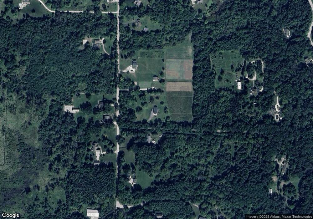
Map
Nearby Homes
- 311 S Lapham Peak Rd Unit 13
- W318N1045 Huckleberry Way N
- 1001 Park Way
- 1026 Park Way
- 351 Stocks Dr
- 637 1st St
- 711 Division St
- 805 Wells St Unit 4
- 805 Wells St Unit 2
- 805 Wells St Unit 3
- 805 Wells St Unit 1
- 716 Saint Johns Dr Unit 718
- 545 Wisconsin Ave
- 323 Riverview Dr
- W339S271 Foxtail Ct
- 2135 W Shore Dr
- 762 N Forest Ridge Ct
- W304N2426 Maple Ave
- S13W33800 U S 18
- 2736 Nagawicka Ave
- W324N1190 Lapham Peak Rd
- 498 S Lapham Peak Rd
- 543 S Lapham Peak Rd
- W325N1167 Lapham Peak Rd
- W324N1114 Lapham Peak Rd
- S407 Indian Spring Dr
- 425 S Lapham Peak Rd
- 426 S Lapham Peak Rd
- W324N1072 Lapham Peak Rd
- 300 S Lapham Peak Rd
- S415 Indian Spring Dr
- 1366 Indian Spring Dr
- W325N1161 Lapham Peak Rd
- W324N1068 Lapham Peak Rd
- 499 S Lapham Peak Rd
- W324N1074 Lapham Peak Rd
- W324N1198 Lapham Peak Rd
- W324N1198 Lapham Peak Rd
- 264 S Lapham Peak Rd
- S335 Indian Spring Dr
Your Personal Tour Guide
Ask me questions while you tour the home.