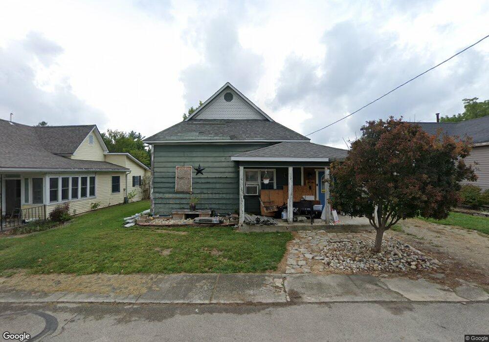
538 W High St Montpelier, IN 47359
Estimated Value: $59,000 - $108,000
3
Beds
2
Baths
984
Sq Ft
$80/Sq Ft
Est. Value
About This Home
This home is located at 538 W High St, Montpelier, IN 47359 and is currently estimated at $78,322, approximately $79 per square foot. 538 W High St is a home located in Blackford County with nearby schools including Montpelier School, Blackford Junior High School, and Blackford Junior-Senior High School.
Ownership History
Date
Name
Owned For
Owner Type
Purchase Details
Closed on
Mar 2, 2021
Sold by
Hess & Hess Llc
Bought by
538 West High Street Land Trust
Current Estimated Value
Purchase Details
Closed on
Dec 4, 2020
Sold by
County Of Blackford
Bought by
Hess & Hess Llc
Purchase Details
Closed on
Apr 19, 2012
Sold by
Southerland Dennis R and Southerland Megan R
Bought by
Fleming Lawrence E
Purchase Details
Closed on
Dec 29, 2011
Sold by
Fleming Lawrence E
Bought by
Southerland Dennis R and Southerland Megan R
Create a Home Valuation Report for This Property
The Home Valuation Report is an in-depth analysis detailing your home's value as well as a comparison with similar homes in the area
Home Values in the Area
Average Home Value in this Area
Purchase History
| Date | Buyer | Sale Price | Title Company |
|---|---|---|---|
| 538 West High Street Land Trust | -- | None Available | |
| Hess & Hess Llc | $2,618 | None Available | |
| Fleming Lawrence E | -- | None Available | |
| Southerland Dennis R | -- | None Available |
Source: Public Records
Tax History Compared to Growth
Tax History
| Year | Tax Paid | Tax Assessment Tax Assessment Total Assessment is a certain percentage of the fair market value that is determined by local assessors to be the total taxable value of land and additions on the property. | Land | Improvement |
|---|---|---|---|---|
| 2024 | $1,086 | $50,000 | $7,100 | $42,900 |
| 2023 | $914 | $45,600 | $3,500 | $42,100 |
| 2022 | $858 | $38,500 | $3,500 | $35,000 |
| 2021 | $708 | $31,000 | $3,500 | $27,500 |
| 2020 | $694 | $30,300 | $3,500 | $26,800 |
| 2019 | $852 | $38,500 | $3,500 | $35,000 |
| 2018 | $812 | $36,500 | $3,500 | $33,000 |
| 2017 | $774 | $36,100 | $3,500 | $32,600 |
| 2016 | $752 | $37,500 | $3,900 | $33,600 |
| 2014 | $782 | $39,100 | $3,900 | $35,200 |
| 2013 | $782 | $41,000 | $3,900 | $37,100 |
Source: Public Records
Map
Nearby Homes
- 532 W Green St
- 404 W Huntington St
- 512 W Plate Glass St
- 603 W Monroe St
- 221 Warren Ave
- 126 W Windsor St
- Corner of 400 N & 700 Rd E
- 109 E Water St
- 220 E Monroe St
- 103 S Washington St
- 1377 W 1050 S
- 9830 S 200 W
- 9814 S Cr 200 W
- 0 N 700 E Unit 202520586
- 0 County Road 300 N
- 6970 N 100 W
- 1010 W State Road 18
- 8737 S 100 E
- 9921 W State Road 18
- 2141 N 100 E
- 532 W High St
- 531 W High St
- 520 W High St
- 539 W High St
- 574 W High St
- 515 W Windsor St
- 510 W High St
- 104 N Standard Oil Blvd
- 104 N Standard Oil Blvd
- 511 W High St
- 523 W High St
- 503 W Windsor St
- 100 N Rockefeller Ave
- 513 W Windsor St Unit 185
- 538 W Huntington St
- 110 S Rockefeller St
- 536 W Huntington St
- 518 W Huntington St
- 516 W Huntington St
- 105 N Standard Oil Blvd