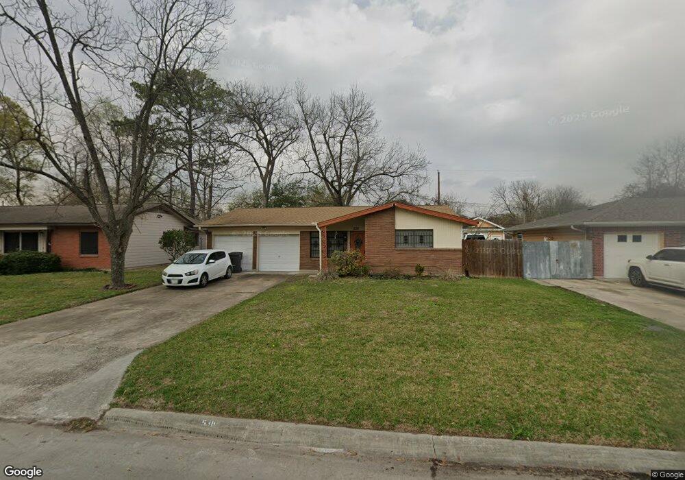
538 W Troy Rd Houston, TX 77091
Northside-Northline NeighborhoodEstimated Value: $198,315 - $229,000
3
Beds
1
Bath
1,162
Sq Ft
$178/Sq Ft
Est. Value
About This Home
This home is located at 538 W Troy Rd, Houston, TX 77091 and is currently estimated at $206,329, approximately $177 per square foot. 538 W Troy Rd is a home located in Harris County with nearby schools including Wesley Elementary School, Williams Middle, and Booker T Washington Sr High.
Ownership History
Date
Name
Owned For
Owner Type
Purchase Details
Closed on
Jan 27, 2005
Sold by
Stoneham James Thomas and Stoneham Shirley Goffney
Bought by
Stoneham David Earl
Current Estimated Value
Home Financials for this Owner
Home Financials are based on the most recent Mortgage that was taken out on this home.
Original Mortgage
$36,307
Interest Rate
6.06%
Mortgage Type
FHA
Purchase Details
Closed on
Oct 9, 2003
Sold by
Stoneham James Thomas and Stoneham Shirley Goffney
Bought by
Stoneham Earl
Create a Home Valuation Report for This Property
The Home Valuation Report is an in-depth analysis detailing your home's value as well as a comparison with similar homes in the area
Home Values in the Area
Average Home Value in this Area
Purchase History
| Date | Buyer | Sale Price | Title Company |
|---|---|---|---|
| Stoneham David Earl | -- | Texas American Title Company | |
| Stoneham Earl | -- | -- |
Source: Public Records
Mortgage History
| Date | Status | Borrower | Loan Amount |
|---|---|---|---|
| Previous Owner | Stoneham David Earl | $36,307 |
Source: Public Records
Tax History Compared to Growth
Tax History
| Year | Tax Paid | Tax Assessment Tax Assessment Total Assessment is a certain percentage of the fair market value that is determined by local assessors to be the total taxable value of land and additions on the property. | Land | Improvement |
|---|---|---|---|---|
| 2025 | $2,826 | $173,000 | $71,920 | $101,080 |
| 2024 | $2,826 | $173,000 | $71,920 | $101,080 |
| 2023 | $2,826 | $159,474 | $71,920 | $87,554 |
| 2022 | $2,202 | $100,000 | $50,344 | $49,656 |
| 2021 | $2,758 | $118,333 | $50,344 | $67,989 |
| 2020 | $2,724 | $112,506 | $50,344 | $62,162 |
| 2019 | $2,526 | $99,810 | $35,960 | $63,850 |
| 2018 | $2,102 | $83,191 | $21,576 | $61,615 |
| 2017 | $1,644 | $65,000 | $21,576 | $43,424 |
| 2016 | $1,644 | $65,000 | $21,576 | $43,424 |
| 2015 | $1,747 | $67,976 | $21,576 | $46,400 |
| 2014 | $1,747 | $67,976 | $21,576 | $46,400 |
Source: Public Records
Map
Nearby Homes
- 6100 Stuebner Airline Rd
- 0 Pickering St
- 422 Surratt Dr
- 434 Yale Oaks Ln
- 422 Yale Oaks Ln
- 427 Yale Oaks Ln
- 6057 Yale St
- 522 Surratt Dr
- 410 Yale Oaks Ln
- 406 Red Ripple Rd
- 334 Yale Oaks Ln
- 609 W Parker Rd
- 327 Yale Oaks Ln
- 615 Northew St Unit J
- 615 Northew St Unit K
- 6315 N Shepherd Dr
- 5736 Stuebner Airline Rd
- 0 Brinkman Unit 54849680
- 201 W Rosamond St Unit 41
- 201 W Rosamond St Unit 53