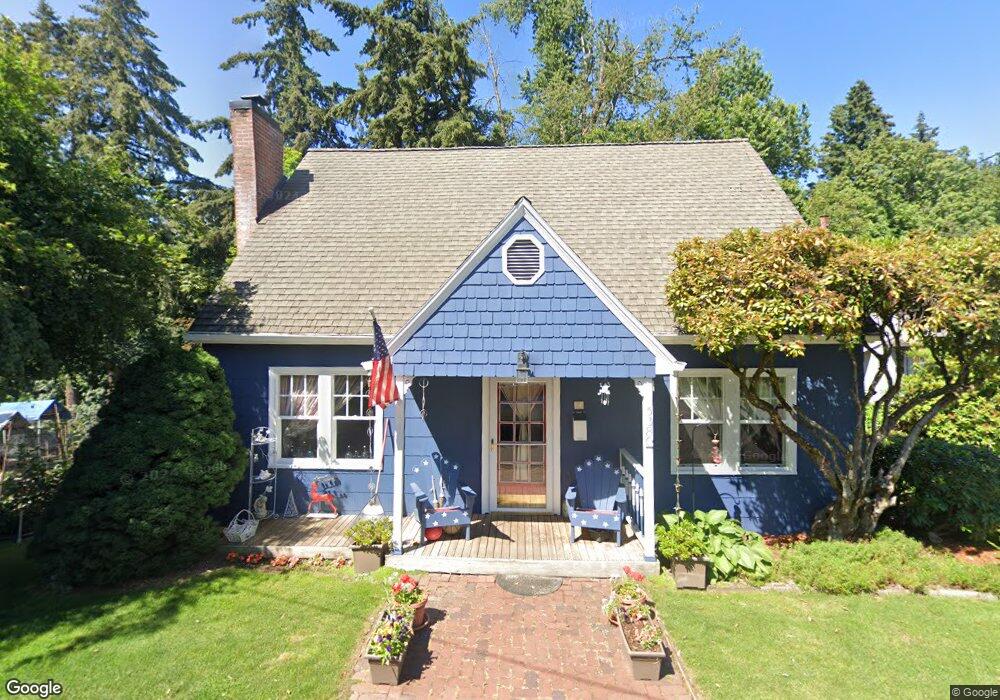
5380 Grove St West Linn, OR 97068
Bolton NeighborhoodEstimated Value: $610,000 - $806,000
3
Beds
3
Baths
2,474
Sq Ft
$281/Sq Ft
Est. Value
About This Home
This home is located at 5380 Grove St, West Linn, OR 97068 and is currently estimated at $695,608, approximately $281 per square foot. 5380 Grove St is a home located in Clackamas County with nearby schools including Bolton Primary School, West Linn High School, and Clackamas Academy of Industrial Sciences (CAIS).
Ownership History
Date
Name
Owned For
Owner Type
Purchase Details
Closed on
May 31, 2017
Sold by
Grill Cheryl G and Grill Patrick G
Bought by
Grill Cheryl G and Grill Patrick G
Current Estimated Value
Purchase Details
Closed on
Jun 2, 1998
Sold by
Grill Cheryl G and Doerrie Cheryl G
Bought by
Grill Patrick G
Home Financials for this Owner
Home Financials are based on the most recent Mortgage that was taken out on this home.
Original Mortgage
$121,000
Interest Rate
7.17%
Create a Home Valuation Report for This Property
The Home Valuation Report is an in-depth analysis detailing your home's value as well as a comparison with similar homes in the area
Home Values in the Area
Average Home Value in this Area
Purchase History
| Date | Buyer | Sale Price | Title Company |
|---|---|---|---|
| Grill Cheryl G | -- | None Available | |
| Grill Patrick G | -- | Fidelity National Title Co |
Source: Public Records
Mortgage History
| Date | Status | Borrower | Loan Amount |
|---|---|---|---|
| Closed | Grill Patrick G | $121,000 |
Source: Public Records
Tax History Compared to Growth
Tax History
| Year | Tax Paid | Tax Assessment Tax Assessment Total Assessment is a certain percentage of the fair market value that is determined by local assessors to be the total taxable value of land and additions on the property. | Land | Improvement |
|---|---|---|---|---|
| 2025 | $4,898 | $254,160 | -- | -- |
| 2024 | $4,715 | $246,758 | -- | -- |
| 2023 | $4,715 | $239,571 | $0 | $0 |
| 2022 | $4,450 | $232,594 | $0 | $0 |
| 2021 | $4,224 | $225,820 | $0 | $0 |
| 2020 | $4,099 | $211,293 | $0 | $0 |
| 2019 | $3,909 | $205,139 | $0 | $0 |
| 2018 | $3,734 | $199,164 | $0 | $0 |
| 2017 | $3,589 | $193,363 | $0 | $0 |
| 2016 | $3,497 | $187,731 | $0 | $0 |
| 2015 | $3,397 | $182,263 | $0 | $0 |
| 2014 | $3,270 | $176,954 | $0 | $0 |
Source: Public Records
Map
Nearby Homes
- 5390 Grove St
- 5089 Territorial Dr
- 5687 River St
- 21835 Willamette Dr
- 909 Center St
- 824 Center St
- 709 10th St
- 4711 Alder St
- 5910 W A St
- 812 Jefferson St
- 401 4th St
- 411 4th St
- 4645 Pine St
- 312 High St
- 911 9th St
- 1870 Hemlock St
- 911 John Quincy Adams St
- 22881 Oregon City Loop
- 22691 Oregon City Loop
- 705 Jackson St
- 5410 Grove St
- 5370 Grove St Unit D
- 5420 Grove St Unit 1
- 5420 Grove St Unit D
- 5420 Grove (Motivated)
- 5470 Grove St
- 1565 Hollowell St
- 5415 Grove St
- 5340 Grove St
- 5480 Grove St
- 5435 Sw Grove
- 5435 Grove St Unit D
- 5395 Grove St
- 5375 Grove St
- 5345 Grove St
- 5475 Grove St
- 1514 Holly St
- 1524 Holly St
- 1510 Holly St
- 1536 Holly St