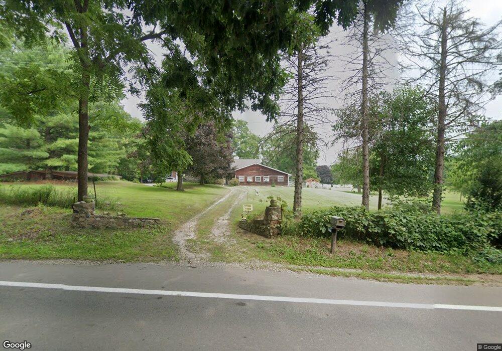
5380 Ormond Rd Davisburg, MI 48350
Estimated Value: $411,000 - $652,000
6
Beds
5
Baths
2,725
Sq Ft
$194/Sq Ft
Est. Value
About This Home
This home is located at 5380 Ormond Rd, Davisburg, MI 48350 and is currently estimated at $528,277, approximately $193 per square foot. 5380 Ormond Rd is a home located in Oakland County with nearby schools including Holly High School.
Ownership History
Date
Name
Owned For
Owner Type
Purchase Details
Closed on
Nov 1, 2023
Sold by
Gressa Dawn R
Bought by
Gressa Dawn R and Dawn R Gressa Revocable Living Trust
Current Estimated Value
Purchase Details
Closed on
Jul 11, 2017
Sold by
The Revocable Living Trust Of Frederick
Bought by
Gressa Dawn R
Purchase Details
Closed on
May 10, 2012
Sold by
Drouillard Frederick William and Drouillard Shirley Ann
Bought by
Drouillard Frederick W and Drouillard Shirley A
Create a Home Valuation Report for This Property
The Home Valuation Report is an in-depth analysis detailing your home's value as well as a comparison with similar homes in the area
Home Values in the Area
Average Home Value in this Area
Purchase History
| Date | Buyer | Sale Price | Title Company |
|---|---|---|---|
| Gressa Dawn R | -- | Land Title | |
| Dawn R Gressa Revocable Living Trust | -- | Land Title | |
| Gressa Dawn R | -- | None Available | |
| Drouillard Frederick W | -- | None Available |
Source: Public Records
Tax History
| Year | Tax Paid | Tax Assessment Tax Assessment Total Assessment is a certain percentage of the fair market value that is determined by local assessors to be the total taxable value of land and additions on the property. | Land | Improvement |
|---|---|---|---|---|
| 2025 | $3,708 | $245,570 | $0 | $0 |
| 2024 | $2,573 | $219,530 | $0 | $0 |
| 2023 | $2,454 | $193,160 | $0 | $0 |
| 2022 | $3,335 | $182,230 | $0 | $0 |
| 2021 | $3,074 | $184,400 | $0 | $0 |
| 2020 | $2,245 | $168,300 | $0 | $0 |
| 2018 | $2,970 | $147,900 | $59,900 | $88,000 |
| 2015 | -- | $115,700 | $0 | $0 |
| 2014 | -- | $115,600 | $0 | $0 |
| 2011 | -- | $128,900 | $0 | $0 |
Source: Public Records
Map
Nearby Homes
- 13180 Woodland Trail
- 12100 Woodland Trail
- 5567 Birch Ln
- 12335 Big Lake Rd
- 12120 Shaffer Rd
- 6828 Country Lane Dr Unit 4
- 8600 Eagle Rd
- 3667 Falcons Nest
- 5744 Hidden Lane Ct
- 11661 Shaffer Rd
- 11999 Scenic Valley
- 12687 Scott Rd
- 11978 Scenic Valley
- 11894 Scenic Valley
- 4930 Fox Chase Dr Unit 3
- 5705 Lake Grove Dr
- 5691 Lake Grove Dr
- 5275 Lake Grove Dr
- 5115 Allingham Dr
- 4904 Lake Grove Dr
- 5480 Ormond Rd
- 13090 Shaffer Rd
- 5495 Ormond Rd
- 5510 Ormond Rd
- 5275 Ormond Rd
- 5525 Ormond Rd
- 13054 Shaffer Rd
- 5180 Ormond Rd
- 5540 Ormond Rd
- 5175 Ormond Rd
- 13048 Shaffer Rd
- 5570 Ormond Rd
- 12955 Shaffer Rd
- 5100 Ormond Rd
- 13060 Shaffer Rd
- 5580 Ormond Rd
- 12901 Shaffer Rd
- 5111 Ormond Rd
- 5401 Leddys Ln
- 5089 Ormond Rd
Your Personal Tour Guide
Ask me questions while you tour the home.